MyTopo
Independence Mountain Colorado US Topo Map
Couldn't load pickup availability
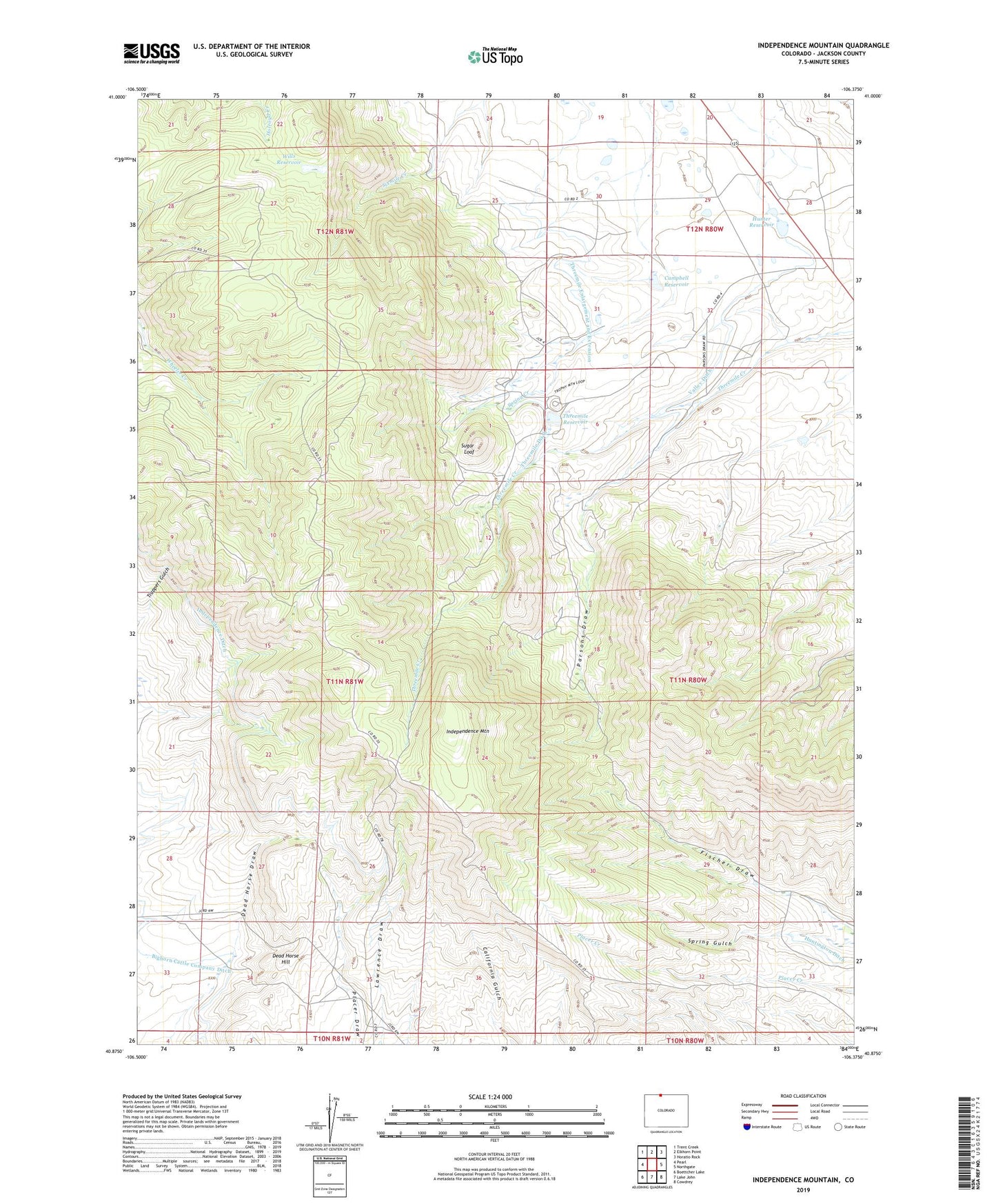
2022 topographic map quadrangle Independence Mountain in the state of Colorado. Scale: 1:24000. Based on the newly updated USGS 7.5' US Topo map series, this map is in the following counties: Jackson. The map contains contour data, water features, and other items you are used to seeing on USGS maps, but also has updated roads and other features. This is the next generation of topographic maps. Printed on high-quality waterproof paper with UV fade-resistant inks.
Quads adjacent to this one:
West: Pearl
Northwest: Trent Creek
North: Elkhorn Point
Northeast: Horatio Rock
East: Northgate
Southeast: Cowdrey
South: Lake John
Southwest: Boettcher Lake
This map covers the same area as the classic USGS quad with code o40106h4.
Contains the following named places: Campbell Reservoir, Caprock Mine, Dead Horse Hill, Hunter Dam, Hunter Reservoir, Huntington Ditch, Independence Ditch, Independence Mountain, Mitchell Placer, Parsons Draw, Placer Draw Placers, Simmons Mine, Six Mile Ditch, Spring Creek, Spring Creek Ditch, Sugar Loaf, Three Mile Dam, Threemile Ditch, Threemile Enlargement and Extension, Threemile Reservoir, Threemile School, Valley Ditch, Waldron Ranch, Wills Dam, Wills Reservoir