MyTopo
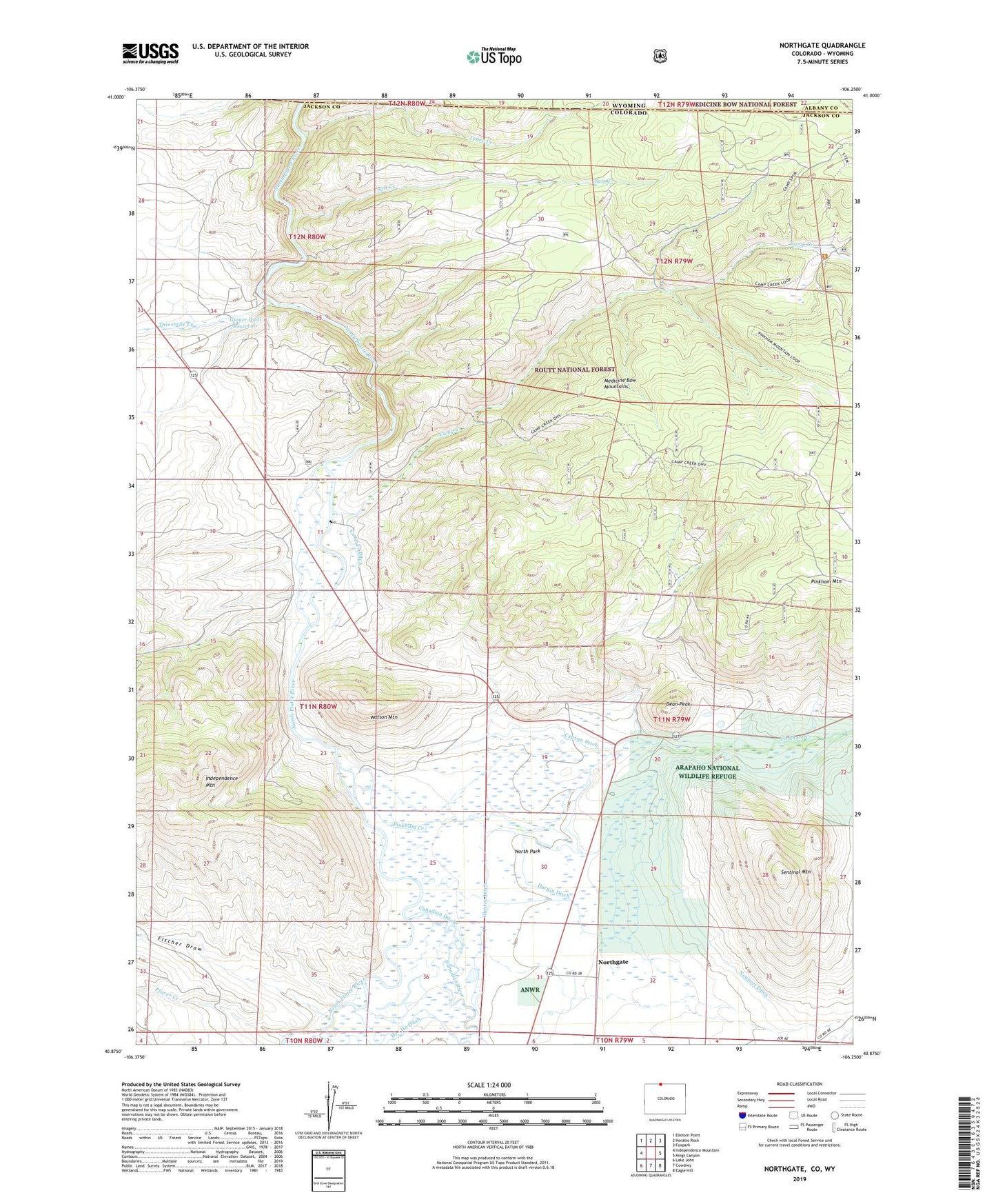
Northgate Colorado US Topo Map
Couldn't load pickup availability
Also explore the Northgate Forest Service Topo of this same quad for updated USFS data
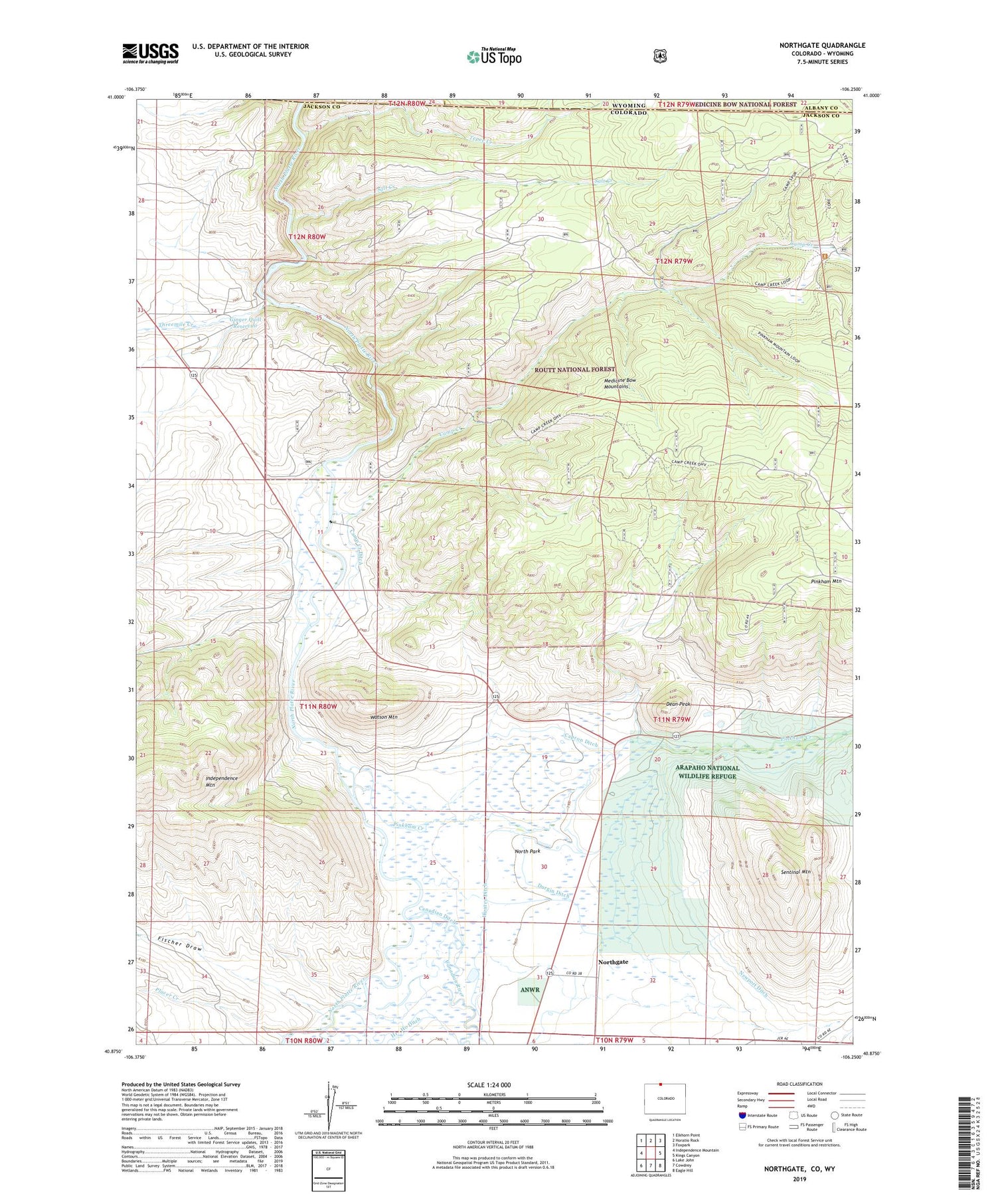
2022 topographic map quadrangle Northgate in the state of Colorado. Scale: 1:24000. Based on the newly updated USGS 7.5' US Topo map series, this map is in the following counties: Jackson, Albany, Carbon. The map contains contour data, water features, and other items you are used to seeing on USGS maps, but also has updated roads and other features. This is the next generation of topographic maps. Printed on high-quality waterproof paper with UV fade-resistant inks.
Quads adjacent to this one:
West: Independence Mountain
Northwest: Elkhorn Point
North: Horatio Rock
Northeast: Foxpark
East: Kings Canyon
Southeast: Eagle Hill
South: Cowdrey
Southwest: Lake John
Contains the following named places: A Bar A Ditch, Almeda Ditch, Badger Mine, Camp Creek, Camp Creek Ditch, Camp Creek Mine, Canadian Ditch, Canadian River, Capron Ditch, Dean Peak, Durgin Ditch, Fischer Draw, Flourspar Mine, Forney Deposit, Gero Tunnel, Ginger Quill Dam, Ginger Quill Reservoir, Kramer Mines, Michigan River, Newport Ditch, North Park, Northgate, Northgate Number Two Mine, Ouaintance Ranch, Penber Mine, Pinkham Creek, Pinkham Mountain, Placer Creek, Poquette Ditch, Quaintance Mine, Quaintance Ranch, Riggs Deposit, Riggs Mine, Salt Creek, Sentinal Mountain, Spaulding Ditch, Spring Gulch, Springer Pit, Tepee Creek, Thirty Six Ditch, Three Way, Threemile Creek, Walker Ditch, Watson Ditch, Watson Mountain, Whale Pit


