MyTopo
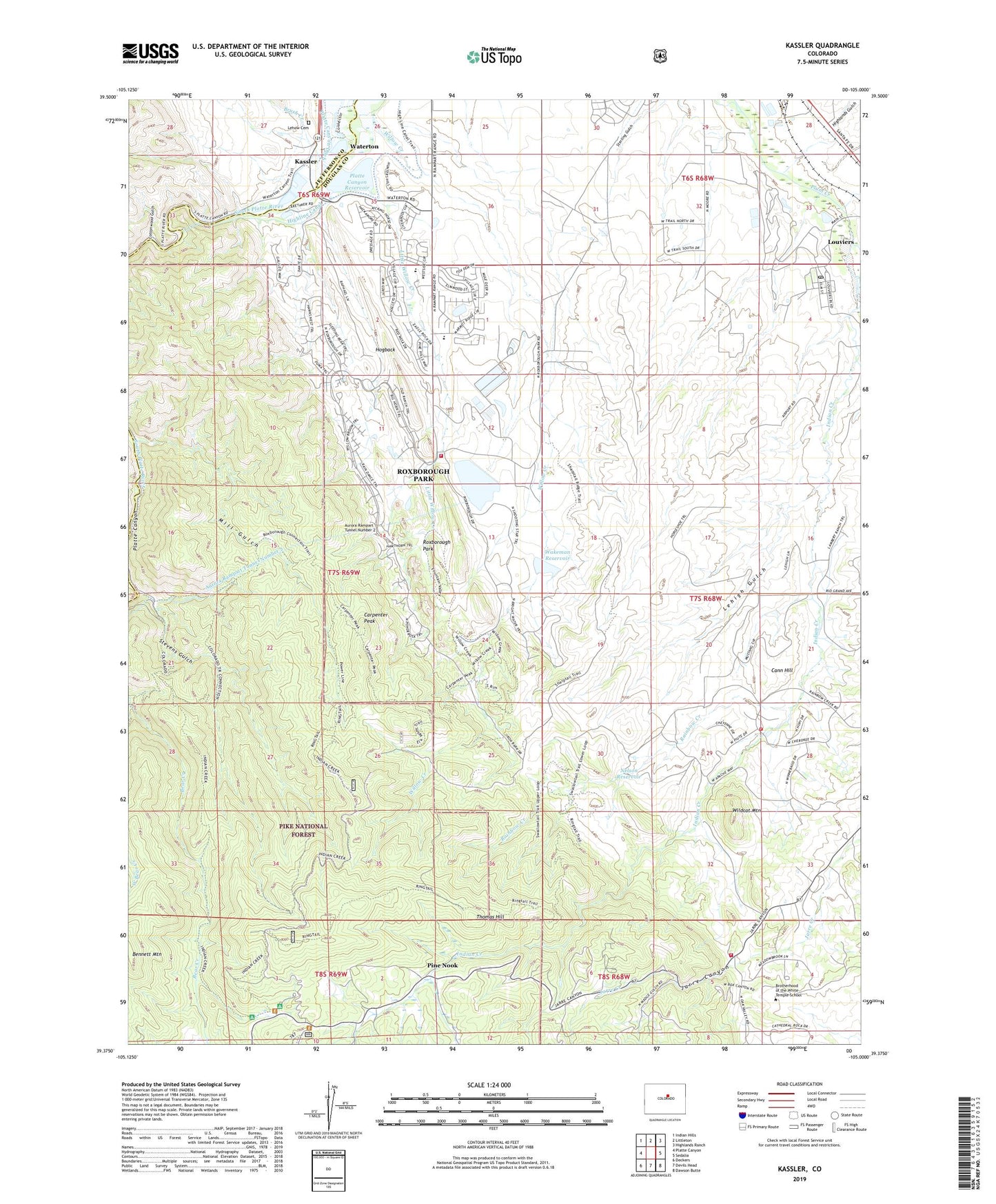
Kassler Colorado US Topo Map
Couldn't load pickup availability
Also explore the Kassler Forest Service Topo of this same quad for updated USFS data
2023 topographic map quadrangle Kassler in the state of Colorado. Scale: 1:24000. Based on the newly updated USGS 7.5' US Topo map series, this map is in the following counties: Douglas, Jefferson. The map contains contour data, water features, and other items you are used to seeing on USGS maps, but also has updated roads and other features. This is the next generation of topographic maps. Printed on high-quality waterproof paper with UV fade-resistant inks.
Quads adjacent to this one:
West: Platte Canyon
Northwest: Indian Hills
North: Littleton
Northeast: Highlands Ranch
East: Sedalia
Southeast: Dawson Butte
South: Devils Head
Southwest: Deckers
This map covers the same area as the classic USGS quad with code o39105d1.
Contains the following named places: Arrowhead Golf Course, Aurora Filtration Plant, Aurora Rampart Tunnel Number 2, Aurora-Rampart Dam, Aurora-Rampart Reservoir, Bennett Mountain, Brush Creek, Cann Hill, Carpenter Peak, Cottonwood Gulch, Duke Pit, Helmer Lime Quarry, Highlands Gulch, Hillside Mine, Hogback Number Four Mine, Hogback Number Three Mine, Hogback Number Two Mine, Indian Creek, Indian Creek Campground, Indian Creek Guard Station, Jarre Canyon, Kassler, Kassler Quarry, Lambert Dam, Lambert Reservoir, Lehigh Gulch, Lehow Cemetery, Little Quarry, Little Willow Creek, Lockheed Martin Space Systems Company Plant Fire Department, Louviers, Louviers Census Designated Place, Louviers Post Office, Martin Heliport, Meadow Ditch, Mill Gulch, Nelson Dam, Nelson Reservoir, Penley Number One Lease Mine, Pine Nook, Platte Canyon, Platte Canyon Dam, Platte Canyon Reservoir, Pre-mix Sand and Gravel Incorporated Quarry, Rainbow Creek, Roxborough, Roxborough Intermediate School, Roxborough Park, Roxborough Park Census Designated Place, Roxborough Park Mine, Roxborough Primary School, Saddle Rock Ranch Mine, Slocum Mine, South Metro Fire Rescue Station 41, Sterling Ranch Census Designated Place, Stevens Gulch, Sundance Ranch, Thomas Hill, Titan Pit, Wakeman Dam, Wakeman Reservoir, Waterton, Waterton Substation, West Bear Creek, West Douglas County Fire Protection District - Station 132, West Douglas County Fire Protection District - Station 133, West Metro Fire Rescue - Station 15, Wildcat Mine, Wildcat Mountain, Willow Creek, Willow Creek Ranch, Woodbine Ranch, ZIP Codes: 80125, 80131


