
MyTopo
Manassa NE Colorado US Topo Map
Couldn't load pickup availability
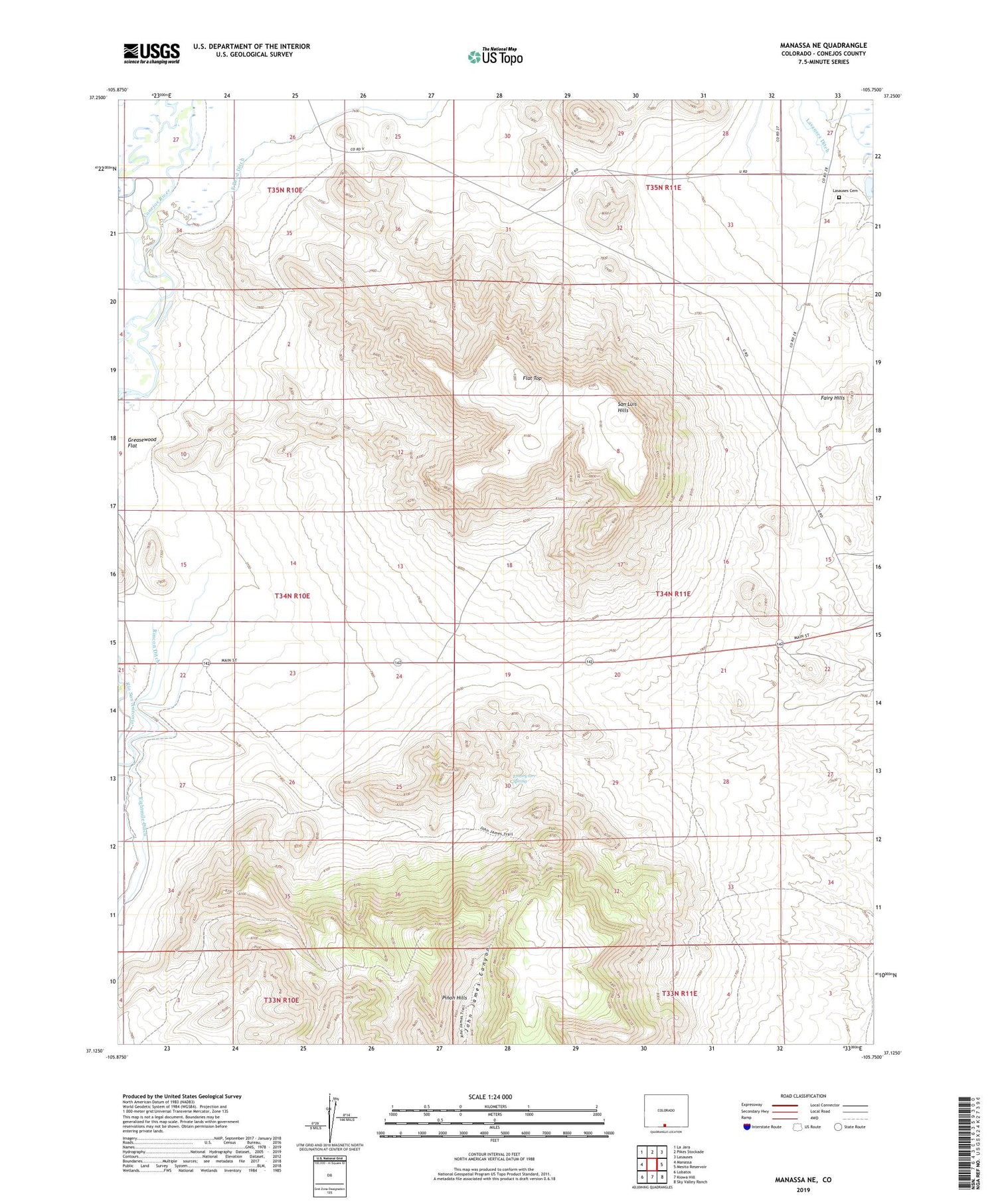
2022 topographic map quadrangle Manassa NE in the state of Colorado. Scale: 1:24000. Based on the newly updated USGS 7.5' US Topo map series, this map is in the following counties: Conejos. The map contains contour data, water features, and other items you are used to seeing on USGS maps, but also has updated roads and other features. This is the next generation of topographic maps. Printed on high-quality waterproof paper with UV fade-resistant inks.
Quads adjacent to this one:
West: Manassa
Northwest: La Jara
North: Pikes Stockade
Northeast: Lasauses
East: Mesito Reservoir
Southeast: Sky Valley Ranch
South: Kiowa Hill
Southwest: Lobatos
This map covers the same area as the classic USGS quad with code o37105b7.
Contains the following named places: East Bend Ditch, Emory Orr Spring, Fairy Hills, Flat Top, Greasewood Flat, King Turquoise Mine, Kings Turquoise Mines, Lasauses Cemetery, Pinon Hills, ZIP Code: 81141


