MyTopo
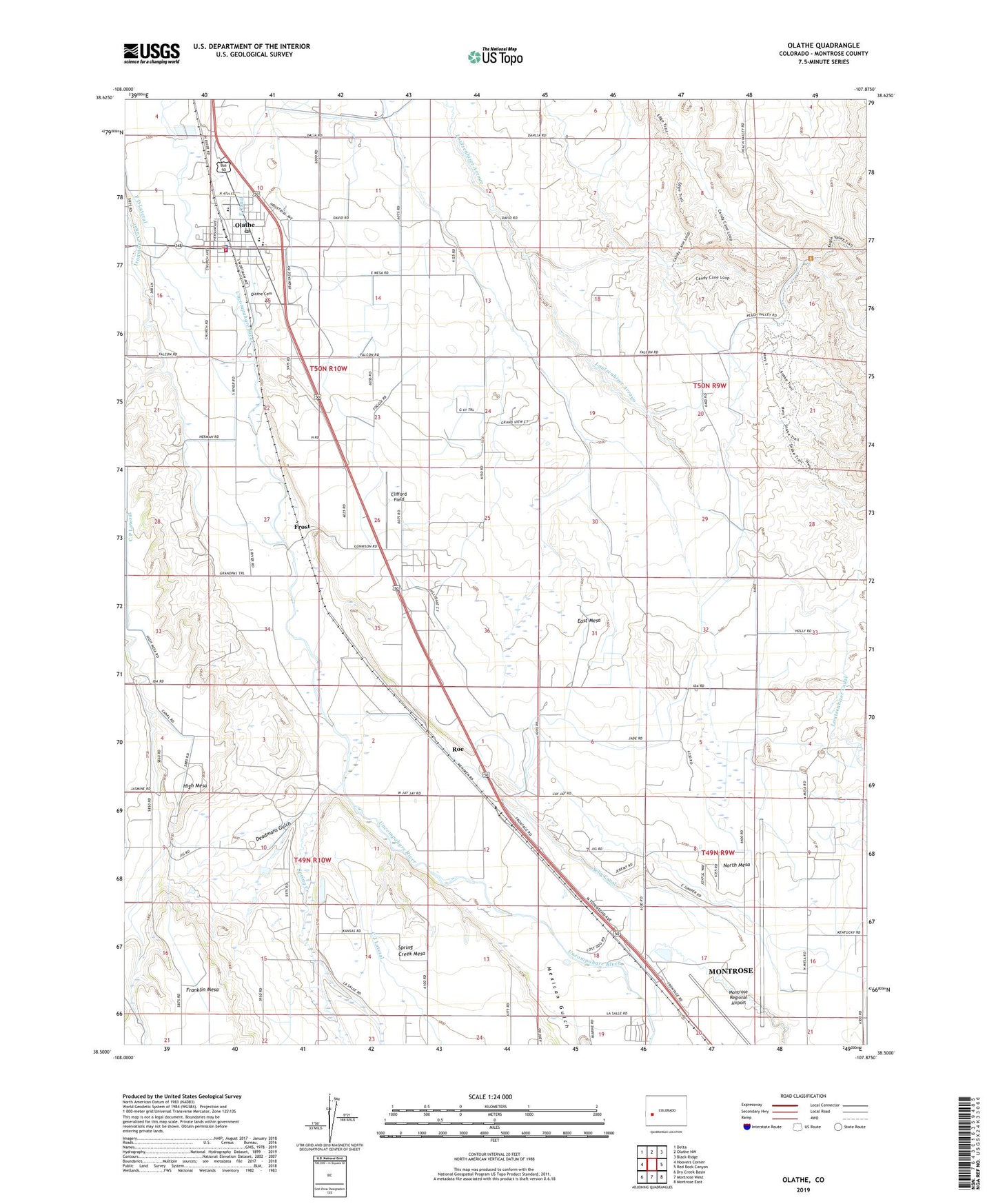
Olathe Colorado US Topo Map
Couldn't load pickup availability
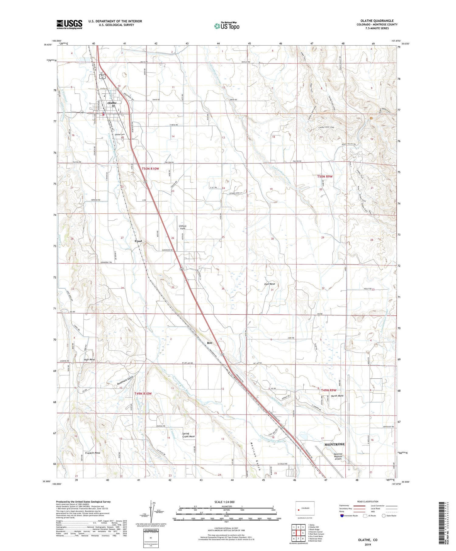
2022 topographic map quadrangle Olathe in the state of Colorado. Scale: 1:24000. Based on the newly updated USGS 7.5' US Topo map series, this map is in the following counties: Montrose. The map contains contour data, water features, and other items you are used to seeing on USGS maps, but also has updated roads and other features. This is the next generation of topographic maps. Printed on high-quality waterproof paper with UV fade-resistant inks.
Quads adjacent to this one:
West: Hoovers Corner
Northwest: Delta
North: Olathe NW
Northeast: Black Ridge
East: Red Rock Canyon
Southeast: Montrose East
South: Montrose West
Southwest: Dry Creek Basin
This map covers the same area as the classic USGS quad with code o38107e8.
Contains the following named places: Ash Mesa, Cedar Creek, Church of Christ, Clifford Field, Coal Creek School, Colorado State Patrol Troop 5C Montrose, Colorow Care Center, Deadmans Gulch, East Mesa, First Baptist Church, Frost, Frost School, High Mesa, Lions Park, Menoken School, Mexican Gulch, Montrose Regional Airport, Mountain Valley Baptist Church, North Mesa Community Hall, Olathe, Olathe Assembly of God, Olathe Cemetery, Olathe City Hall, Olathe Community Center, Olathe Elementary School, Olathe Fire Protection District Station 1, Olathe High School, Olathe Middle School, Olathe Police Department, Olathe Post Office, Olathe United Methodist Church, Our Lady of Fatima Catholic Church, Roe, Selig Canal, Spring Creek, Town of Olathe


