MyTopo
Red Pinnacle Colorado US Topo Map
Couldn't load pickup availability
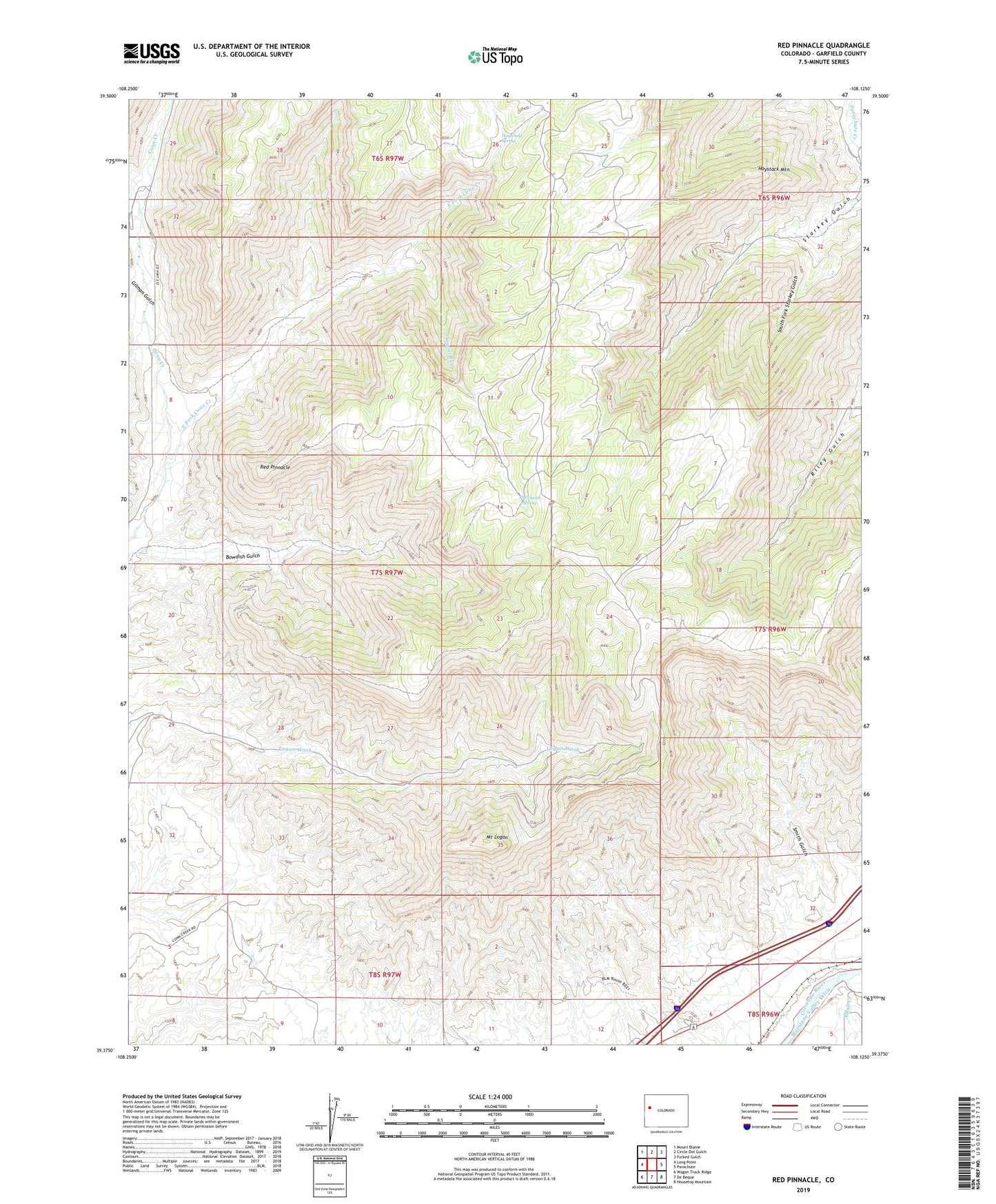
2022 topographic map quadrangle Red Pinnacle in the state of Colorado. Scale: 1:24000. Based on the newly updated USGS 7.5' US Topo map series, this map is in the following counties: Garfield. The map contains contour data, water features, and other items you are used to seeing on USGS maps, but also has updated roads and other features. This is the next generation of topographic maps. Printed on high-quality waterproof paper with UV fade-resistant inks.
Quads adjacent to this one:
West: Long Point
Northwest: Mount Blaine
North: Circle Dot Gulch
Northeast: Forked Gulch
East: Parachute
Southeast: Housetop Mountain
South: De Beque
Southwest: Wagon Track Ridge
This map covers the same area as the classic USGS quad with code o39108d2.
Contains the following named places: Alkali Creek, Bowdish Trail, East Fork Conn Creek, Gilman Gulch, Haystack Mountain, Hayward Spring, KZKS-FM (Rifle), Mount Logan, Pritchard Spring, Red Pinnacle, Smith Gulch, South Fork Starkey Gulch, Spruce Point Trail, Tourist Run