
MyTopo
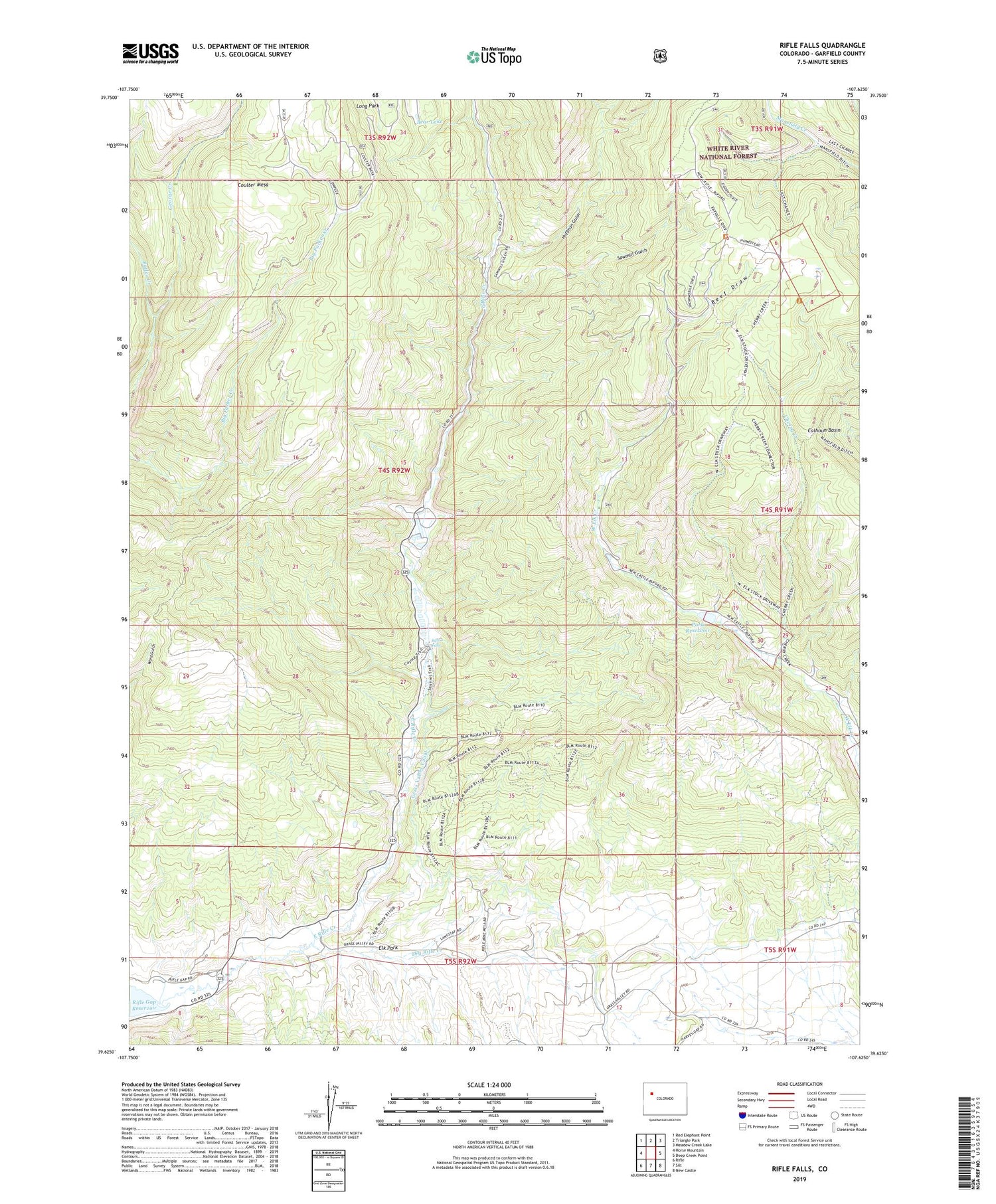
Rifle Falls Colorado US Topo Map
Couldn't load pickup availability
Also explore the Rifle Falls Forest Service Topo of this same quad for updated USFS data
2022 topographic map quadrangle Rifle Falls in the state of Colorado. Scale: 1:24000. Based on the newly updated USGS 7.5' US Topo map series, this map is in the following counties: Garfield. The map contains contour data, water features, and other items you are used to seeing on USGS maps, but also has updated roads and other features. This is the next generation of topographic maps. Printed on high-quality waterproof paper with UV fade-resistant inks.
Quads adjacent to this one:
West: Horse Mountain
Northwest: Red Elephant Point
North: Triangle Park
Northeast: Meadow Creek Lake
East: Deep Creek Point
Southeast: New Castle
South: Silt
Southwest: Rifle
This map covers the same area as the classic USGS quad with code o39107f6.
Contains the following named places: Bear Lake, Beef Draw, Blue Spruce Campground, Cherry Creek, Dry Rifle Creek, Elk Park, Elk Van Tunnel and UV Claims, Garfield Mine, George Creek, Grandview Mine, Grass Valley Canal, Huffman Gulch, Lily Mine, Long Park, Park Dam, Rifle Falls, Rifle Falls Fish Hatchery, Rifle Mine, Rifle Mountain Park, Sawmill Gulch, Spring Cow Camp, Sunshine Mine, West Elk Forest Service Station, West Elk Reservoir, West Elk Stock Driveway


