MyTopo
Square S Ranch Colorado US Topo Map
Couldn't load pickup availability
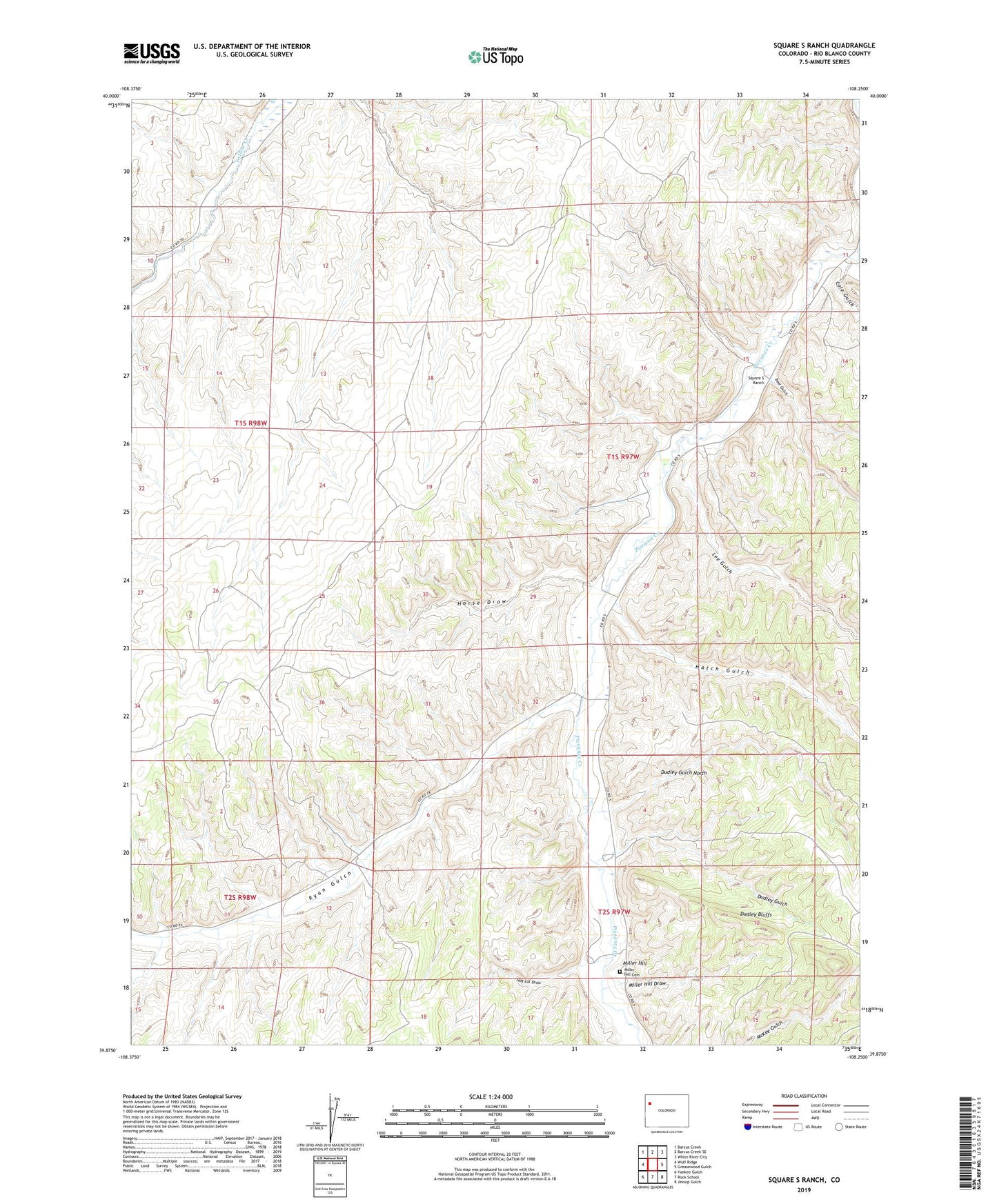
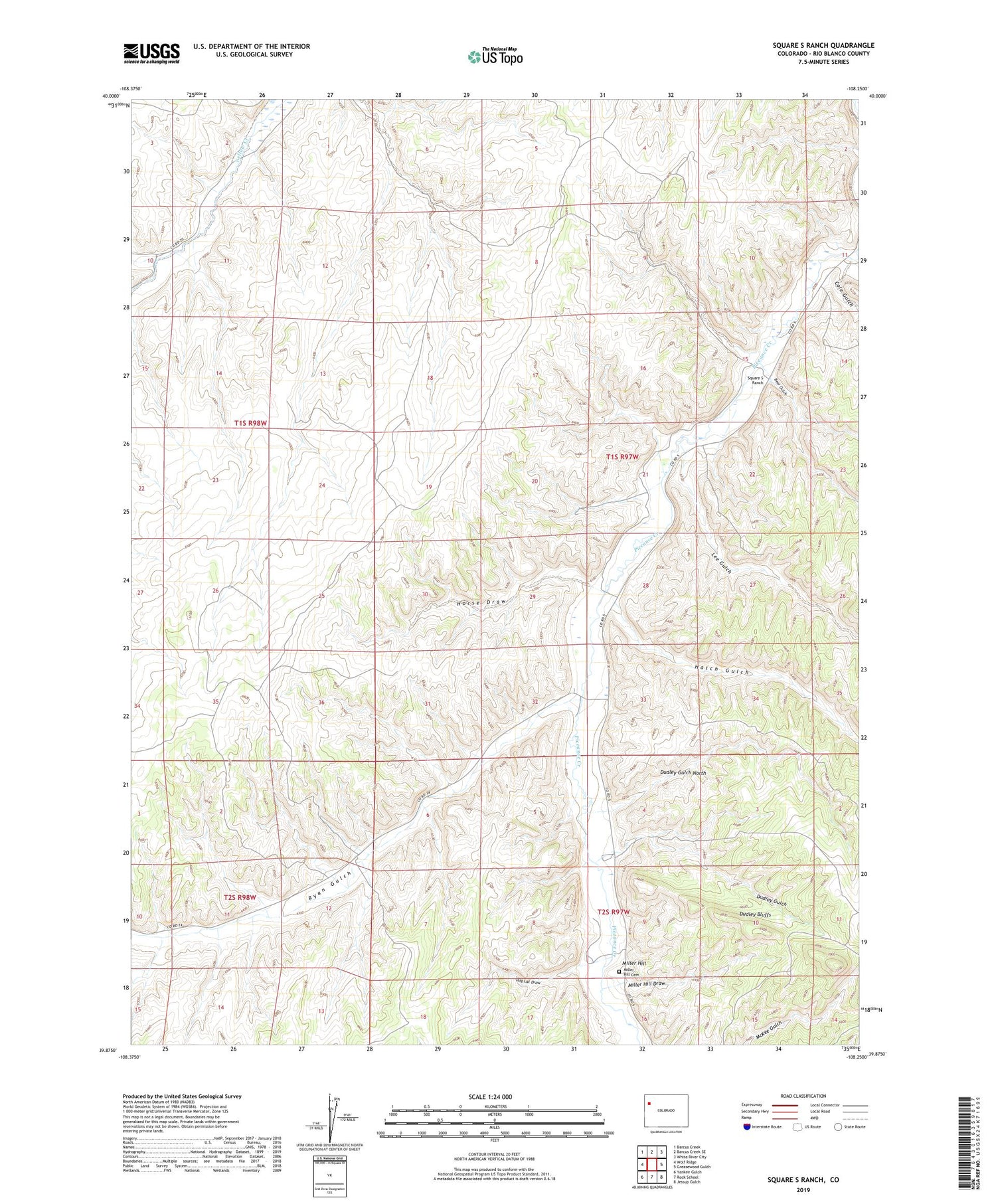
2022 topographic map quadrangle Square S Ranch in the state of Colorado. Scale: 1:24000. Based on the newly updated USGS 7.5' US Topo map series, this map is in the following counties: Rio Blanco. The map contains contour data, water features, and other items you are used to seeing on USGS maps, but also has updated roads and other features. This is the next generation of topographic maps. Printed on high-quality waterproof paper with UV fade-resistant inks.
Quads adjacent to this one:
West: Wolf Ridge
Northwest: Barcus Creek
North: Barcus Creek SE
Northeast: White River City
East: Greasewood Gulch
Southeast: Jessup Gulch
South: Rock School
Southwest: Yankee Gulch
This map covers the same area as the classic USGS quad with code o39108h3.
Contains the following named places: Bear Gulch, Cole Gulch, Duck Creek, Dudley Bluffs, Dudley Gulch, Dudley Gulch North, Hatch Gulch, Hog Lot Draw, Horse Draw, Lee Gulch, Miller Hill, Miller Hill Cemetery, Miller Hill Draw, Ryan Gulch