MyTopo
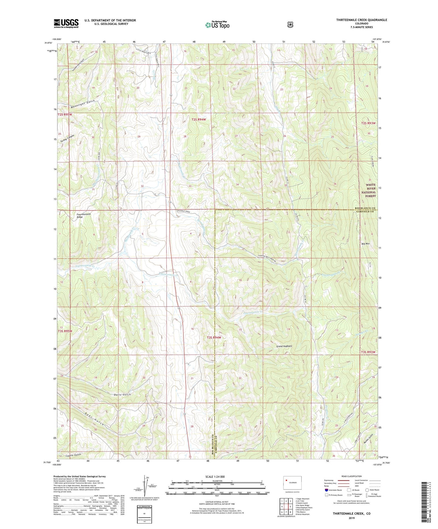
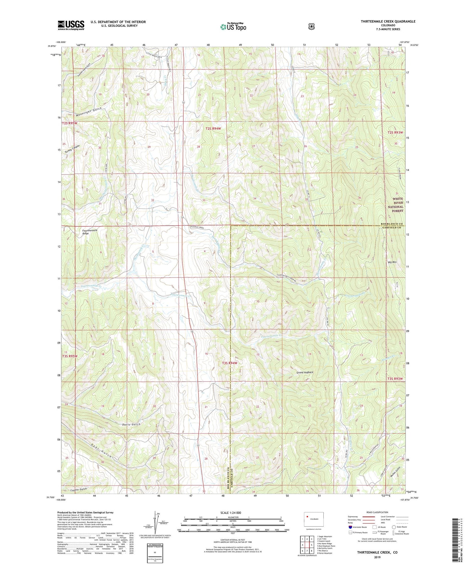
Thirteenmile Creek Colorado US Topo Map
Couldn't load pickup availability
Also explore the Thirteenmile Creek Forest Service Topo of this same quad for updated USFS data
2022 topographic map quadrangle Thirteenmile Creek in the state of Colorado. Scale: 1:24000. Based on the newly updated USGS 7.5' US Topo map series, this map is in the following counties: Rio Blanco, Garfield. The map contains contour data, water features, and other items you are used to seeing on USGS maps, but also has updated roads and other features. This is the next generation of topographic maps. Printed on high-quality waterproof paper with UV fade-resistant inks.
Quads adjacent to this one:
West: No Name Ridge
Northwest: Segar Mountain
North: LO 7 Hill
Northeast: Veatch Gulch
East: Red Elephant Point
Southeast: Horse Mountain
South: Rio Blanco
Southwest: McCarthy Gulch
This map covers the same area as the classic USGS quad with code o39107g8.
Contains the following named places: Fourteenmile Ridge, Thirteenmile Creek, Twelvemile Creek, West Miller Dam, West Miller Reservoir