
MyTopo
Trimble Point Colorado US Topo Map
Couldn't load pickup availability
Also explore the Trimble Point Forest Service Topo of this same quad for updated USFS data
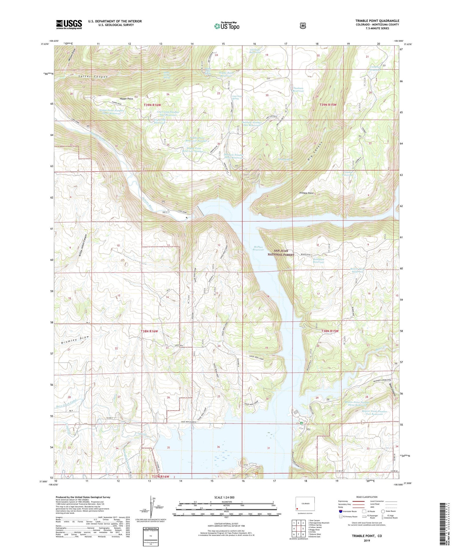
2022 topographic map quadrangle Trimble Point in the state of Colorado. Scale: 1:24000. Based on the newly updated USGS 7.5' US Topo map series, this map is in the following counties: Montezuma. The map contains contour data, water features, and other items you are used to seeing on USGS maps, but also has updated roads and other features. This is the next generation of topographic maps. Printed on high-quality waterproof paper with UV fade-resistant inks.
Quads adjacent to this one:
West: Yellow Jacket
Northwest: Doe Canyon
North: Narraguinnep Mountain
Northeast: Willow Spring
East: Boggy Draw
Southeast: Dolores East
South: Dolores West
Southwest: Arriola
This map covers the same area as the classic USGS quad with code o37108e5.
Contains the following named places: Bean Canyon, Beaver Creek, Beaver Creek Marina, Beaver Point Number Three Reservoir, Beaver Point Number Two Reservoir, Beaver Point Reservoir, Campbell Reservoir, Dry Canyon, Dry Canyon Fishing, Dunham Number Three Reservoir, Dunham Point Reservoir, Dunham Reservoir, Dunham Spring, Gardner Reservoir, Great Cut Dike, Hoppe Point, Hoppe Point Number Three Reservoir, Hoppe Point Reservoir, Hoppe Point Reservoir Number 1, Hoppe Point Reservoir Number 2, Hoppe Point Spring, House Creek, House Creek Recreation Area, Kuhlman Reservoir, Log Camp Number Two Reservoir, Log Camp Reservoir, Log Camp Spring, Main Canal Number 2, McPhee Dam, McPhee Recreation Area, McPhee Reservoir, McPhee Stock Trail, Metaska Recreation Site, Plateau Creek, Ridge Point Overlook, Sage Hen Fishing, Salter Canyon Spring, Trimble Point, Trimble Reservoir, Willow Draw


