MyTopo
Twin Buttes Colorado US Topo Map
Couldn't load pickup availability
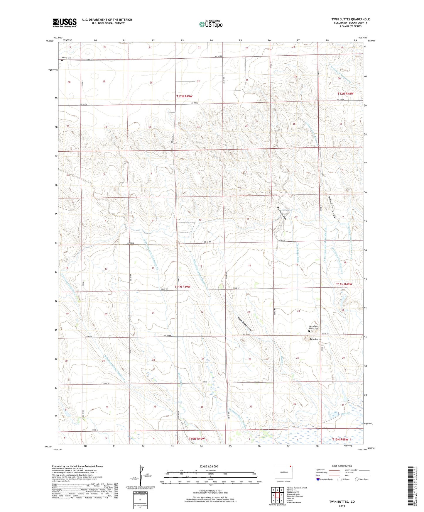
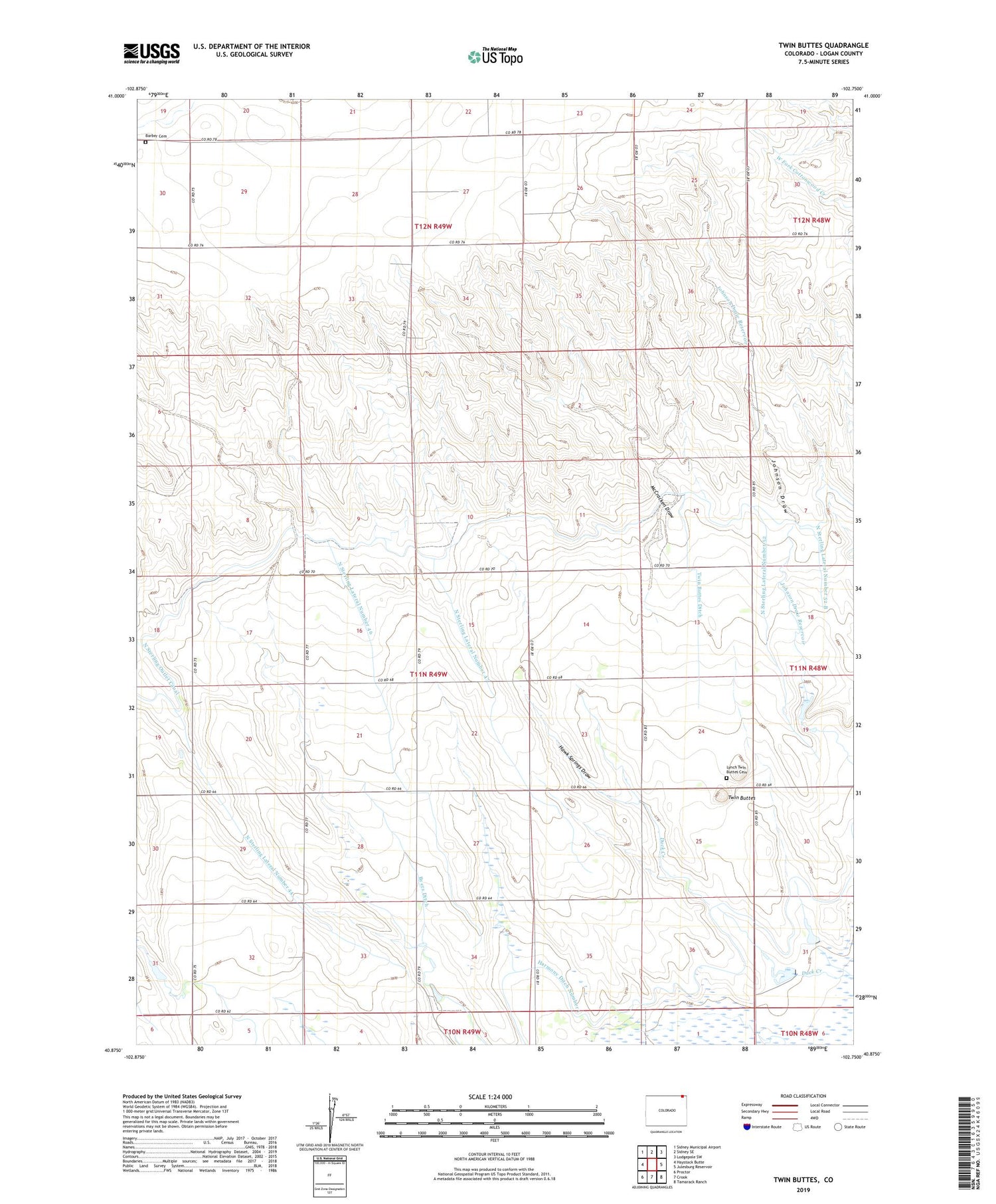
2022 topographic map quadrangle Twin Buttes in the state of Colorado. Scale: 1:24000. Based on the newly updated USGS 7.5' US Topo map series, this map is in the following counties: Logan. The map contains contour data, water features, and other items you are used to seeing on USGS maps, but also has updated roads and other features. This is the next generation of topographic maps. Printed on high-quality waterproof paper with UV fade-resistant inks.
Quads adjacent to this one:
West: Haystack Butte
Northwest: Sidney Municipal Airport
North: Sidney SE
Northeast: Lodgepole SW
East: Julesburg Reservoir
Southeast: Tamarack Ranch
South: Crook
Southwest: Proctor
This map covers the same area as the classic USGS quad with code o40102h7.
Contains the following named places: Barber Cemetery, Byers Ditch, Crook Division, Duck Creek, Harmony Ditch Number 1, Hawk Springs Draw, Johnson Draw Reservoir, Lynch Twin Buttes Cemetery, McCracken Draw, North Sterling Lateral Number 44, North Sterling Lateral Number 46, North Sterling Lateral Number 47, North Sterling Lateral Number 52, North Sterling Lateral Number 52 B, Twin Buttes, Twin Buttes Ditch, ZIP Code: 80726