MyTopo
Sidney Municipal Airport Nebraska US Topo Map
Couldn't load pickup availability
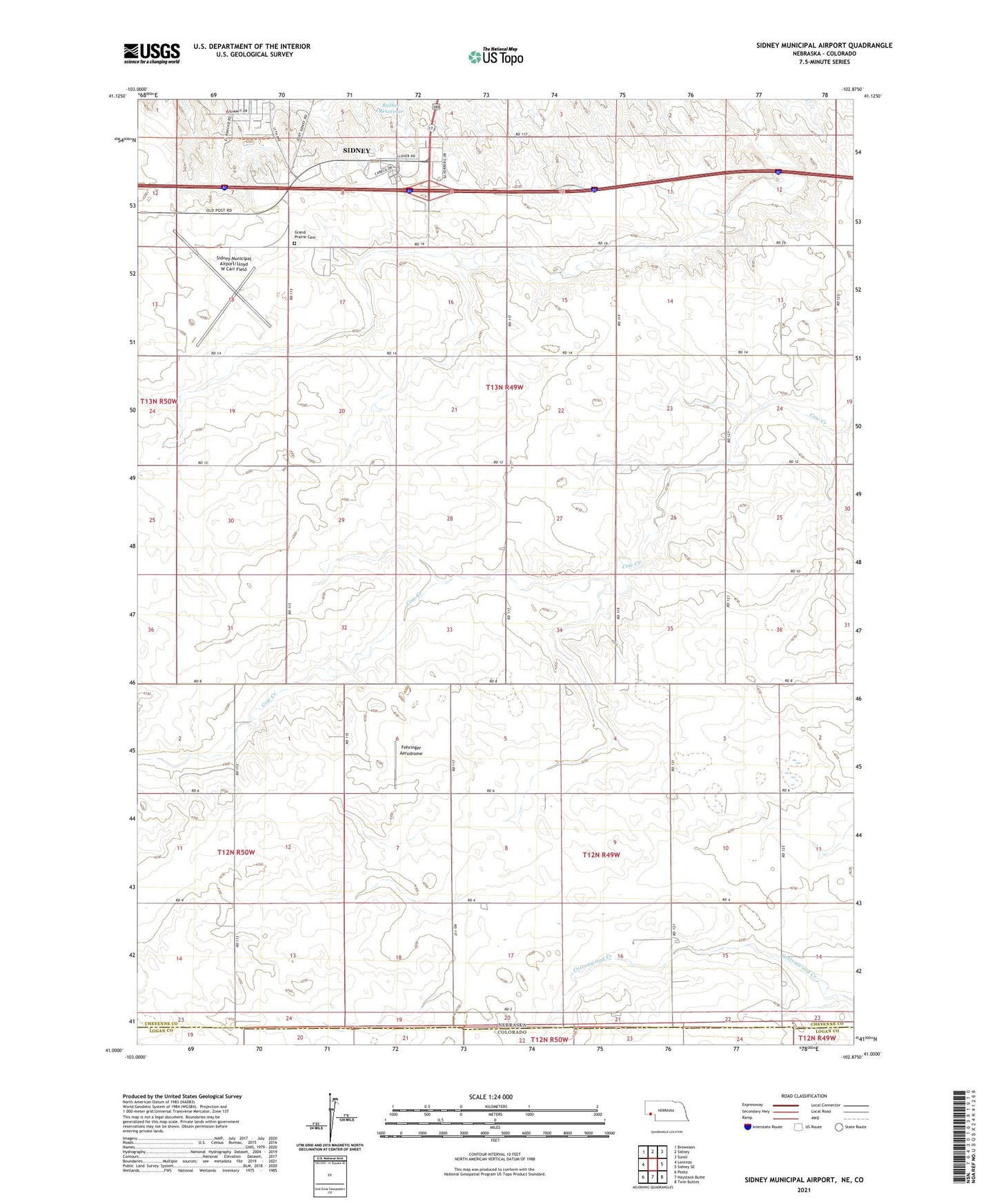
2021 topographic map quadrangle Sidney Municipal Airport in the state of Nebraska. Scale: 1:24000. Based on the newly updated USGS 7.5' US Topo map series, this map is in the following counties: Cheyenne, Logan. The map contains contour data, water features, and other items you are used to seeing on USGS maps, but also has updated roads and other features. This is the next generation of topographic maps. Printed on high-quality waterproof paper with UV fade-resistant inks.
Quads adjacent to this one:
West: Lorenzo
Northwest: Brownson
North: Sidney
Northeast: Sunol
East: Sidney SE
Southeast: Twin Buttes
South: Haystack Butte
Southwest: Peetz
This map covers the same area as the classic USGS quad with code o41102a8.
Contains the following named places: Cabelas Wildlife Display, Fehringer Aerodrome, Grand Prairie Cemetery, Ruther Dam, Sidney - Cheyenne County Historical Marker, Sidney Municipal Airport/Lloyd W Carr Field, Sidney Rest Area, Sidney Rural Election Precinct, Sidney Westbound Travel Information Center, Trinity Church, Verde Lane Dam, Verde Reservoir