MyTopo
Ellsworth Connecticut US Topo Map
Couldn't load pickup availability
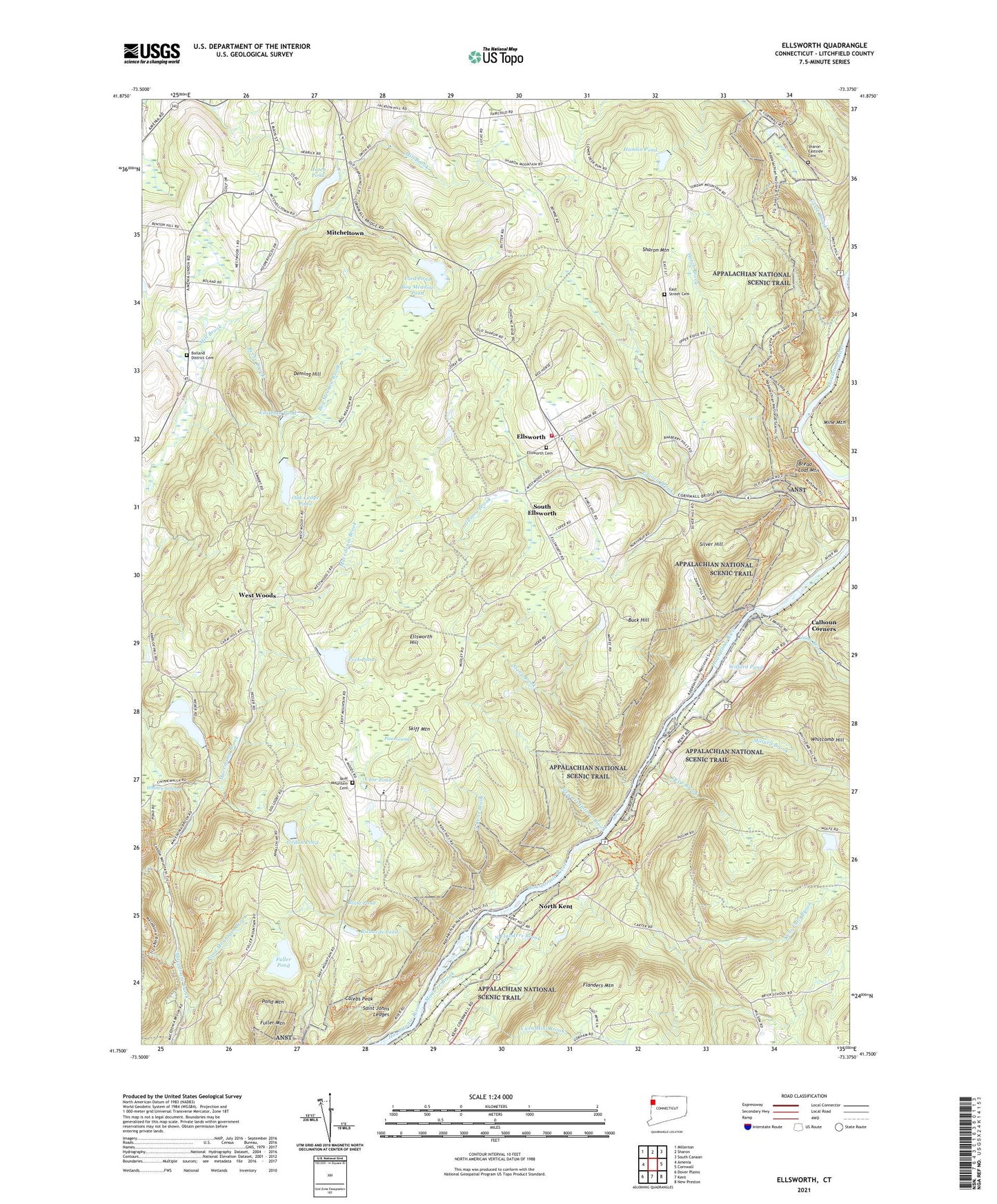
2024 topographic map quadrangle Ellsworth in the state of Connecticut. Scale: 1:24000. Based on the newly updated USGS 7.5' US Topo map series, this map is in the following counties: Litchfield. The map contains contour data, water features, and other items you are used to seeing on USGS maps, but also has updated roads and other features. This is the next generation of topographic maps. Printed on high-quality waterproof paper with UV fade-resistant inks.
Quads adjacent to this one:
West: Amenia
Northwest: Millerton
North: Sharon
Northeast: South Canaan
East: Cornwall
Southeast: New Preston
South: Kent
Southwest: Dover Plains
This map covers the same area as the classic USGS quad with code o41073g4.
Contains the following named places: Beebe Brook, Blatz Pond, Bog Meadow Brook, Bog Meadow Pond, Bolland District Cemetery, Bonney Brook, Bread Loaf Mountain, Buck Hill, Calebs Peak, Calhoun Corners, Case Pond, Choggam Corner, Cornwall Bridge Census Designated Place, Deep Brook, Deming Hill, East Street Cemetery, Eastman Pond, Ellsworth, Ellsworth Cemetery, Ellsworth Hill, Flanders Mountain, Ford Pond, Ford Pond Dam, Fuller Pond, Guinea Brook, Gunn Brook, Hamlin Pond, Hatch Brook, Hatch Pond, Hatch Pond Dam, Hilltop Pond, Hilltop Pond Dam, Housatonic Meadows State Park, Jack Brook, Jordan Pond, Jordan Pond Dam, Kent Falls Brook, Kent Falls State Park, Macedonia Brook State Park, Mauwee Brook, Millard Brook, Mitcheltown, North Flanders Brook, North Kent, North Kent Brook, Oak Ledge Pond, Pearson Corners, Peck Pond, Peck Pond Dam, Pine Swamp, Pond Mountain, Pond Mountain Brook, Pond Mountain Natural Area, Richards Pond, Roger Lewis Pond, Roger Lewis Pond Dam, Saint Johns Ledges, Sharon Country Club, Sharon Eastside Cemetery, Sharon Fire Department Station 2, Sharon Mountain, Silver Hill, Skiff Mountain, Skiff Mountain Cemetery, South Ellsworth, Stewart Hollow Brook, Stony Brook, Town of Sharon, West Woods, Whitcomb Hill, Whitten Swamp, Wilford Pond, Wyantenock State Forest, Yuza Mini Brook, ZIP Code: 06069


