MyTopo
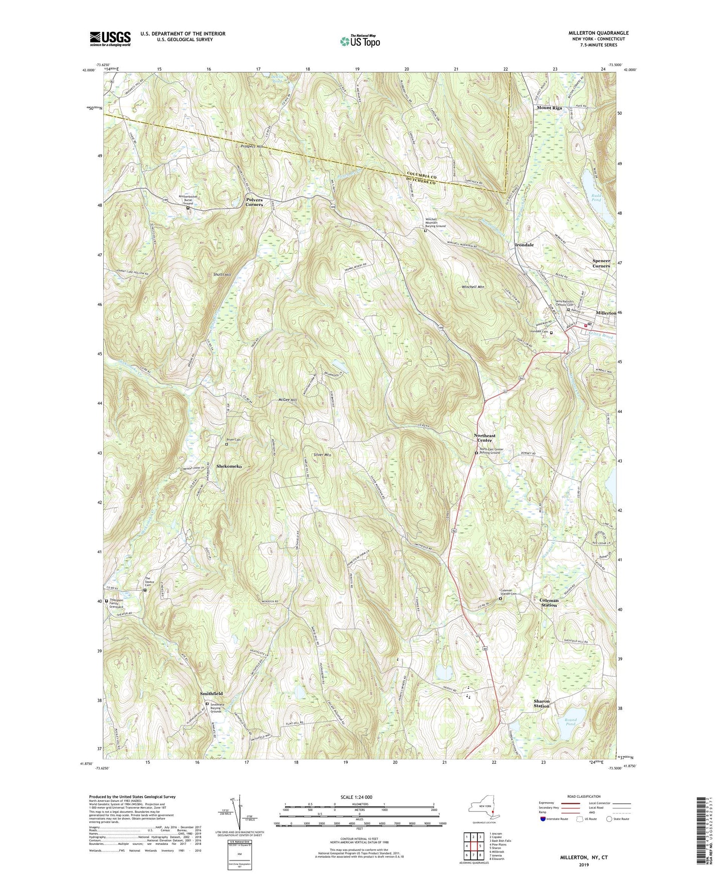
Millerton New York US Topo Map
Couldn't load pickup availability
2023 topographic map quadrangle Millerton in the state of New York. Scale: 1:24000. Based on the newly updated USGS 7.5' US Topo map series, this map is in the following counties: Dutchess, Columbia, Litchfield. The map contains contour data, water features, and other items you are used to seeing on USGS maps, but also has updated roads and other features. This is the next generation of topographic maps. Printed on high-quality waterproof paper with UV fade-resistant inks.
Quads adjacent to this one:
West: Pine Plains
Northwest: Ancram
North: Copake
Northeast: Bash Bish Falls
East: Sharon
Southeast: Ellsworth
South: Amenia
Southwest: Millbrook
This map covers the same area as the classic USGS quad with code o41073h5.
Contains the following named places: Bean River, Bryan Cemetery, Cascade Mountain Winery, Coleman Station, Coleman Station Cemetery, Coleman Station Historic District, Dewitt Pond, Driftways Farm, Eugene Brooks Middle School, Faith Bible Chapel, First Church of Christ Scientist, Irondale, Irondale Cemetery, Kelsey Brook, Kildonan School, Kingdom Hall of Jehovahs Witnesses, Knickerbocker Burial Ground, McGee Hill, Millerton, Millerton Elementary School, Millerton Fire Department, Millerton Methodist Church, Millerton Post Office, Mount Riga, North East - Millerton Library, North East Baptist Church, North East Center Burying Ground, North East Post Office, Northeast, Northeast Center, Perry Corners, Prospect Hill, Pulvers Corners, Round Pond, Rudd Pond, Saint Patrick's Catholic Cemetery, Sawmill Brook, Scenic View Trailer Park, Sharon Station, Shekomeko, Shults Hill, Silamar Farm, Silver Mountain, Smithfield, Smithfield Burying Grounds, Smithfield Presbyterian Church, Spencer Corners, The Square Cemetery, Thompson Family Graveyard, Town of North East, Viewpoint School, Village of Millerton, Webutuck Elementary School, Webutuck Middle School-High School, Winchell Mountain, Winchell Mountain Burying Ground, ZIP Code: 12546


