MyTopo
Rockville Connecticut US Topo Map
Couldn't load pickup availability
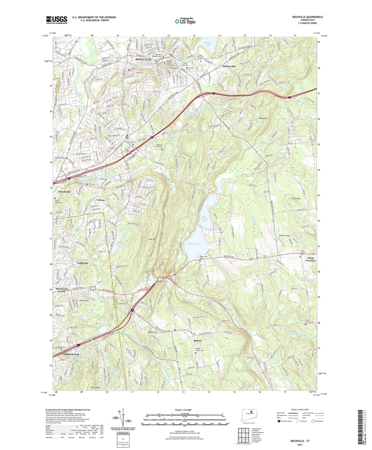
2024 topographic map quadrangle Rockville in the state of Connecticut. Scale: 1:24000. Based on the newly updated USGS 7.5' US Topo map series, this map is in the following counties: Tolland, Hartford. The map contains contour data, water features, and other items you are used to seeing on USGS maps, but also has updated roads and other features. This is the next generation of topographic maps. Printed on high-quality waterproof paper with UV fade-resistant inks.
Quads adjacent to this one:
West: Manchester
Northwest: Broad Brook
North: Ellington
Northeast: Stafford Springs
East: Coventry
Southeast: Columbia
South: Marlborough
Southwest: Glastonbury
This map covers the same area as the classic USGS quad with code o41072g4.
Contains the following named places: Aldon Mill Pond, Aldon Mill Pond Dam, Ash Brook, Bamforth Road Cemetery, Bolton, Bolton Center Cemetery, Bolton Fire Department, Bolton High School, Bolton Lake, Bolton Lakes, Bolton Notch, Bolton Notch Pond, Bolton Notch State Park, Bolton Pond Brook, Bolton Post Office, Bolton School, Box Hill, Box Mountain Quarry, Buckley Elementary School, Burnap Brook, Case Pond, Case Pond Upper, Case Pond Upper Dam, Chapins Meadow Brook, Church of Christ, Clarks Brook, Crestfield Hospital, Dobsonville Pond, Dobsonville Pond Dam, Elmwood Cemetery, Faith Baptist Church, Fox Hill, Gages Brook, Grant Hill, Green Hill, Grove Hill Cemetery, Heckler Field, Henry Park, Highland Park, Highland Park School, Hockanum River Dam, Howard Reservoir, Howard Reservoir Dam, Lake Street Elementary School, Lower Bolton Lake Dam, Lydallville, Manchester Fire Rescue Emergency Medical Services Station 4, Mount Hope Cemetery, Northeast Elementary School, Ogden Brook, Paper Mill Pond, Paper Mill Pond Dam, Porter Reservoir, Porter Reservoir Dam, Quarryville, Quarryville Cemetery, Railroad Brook, Reed Hill, Risley Reservoir, Risley Reservoir Dam, Rockville, Rockville Census Designated Place, Rockville General Hospital, Rockville High School, Saint Bartholomews Church, Saint Bernards Cemetery, Shenipsit Lake Dam, Silver Street Cemetery, Skinner Pond Elementary School, Skungamaug River, South Street Cemetery, Southwest Cemetery, Sperry Pond, Spice Brook, Talcott Park, Tankerhoosen Lake, Tankerhoosen Lake North Dam, Tolland County Sheriff's Office, Tolland Fire Department Station 340, Town of Bolton, Town of Vernon, Upper Bolton Lake, Upper Bolton Lake Dam, Valley Falls Park, Vernon, Vernon Center, Vernon Center Middle School, Vernon Fire Marshal's Office, Vernon Middle School, Vernon Police Department, Vernon Volunteer Fire Department Station 141, Vernon Volunteer Fire Department Station 241, Vernon Volunteer Fire Department Station 441, Vernon Volunteer Fire Department Station 541, Vernon Volunteer Fire Department Station 641, Walker Reservoir East, Walker Reservoir East Dam, Walker Reservoir West, WCTF-AM (Vernon), Whites Hill, Wilson Brook, ZIP Codes: 06043, 06066


