MyTopo
Hickman Delaware US Topo Map
Couldn't load pickup availability
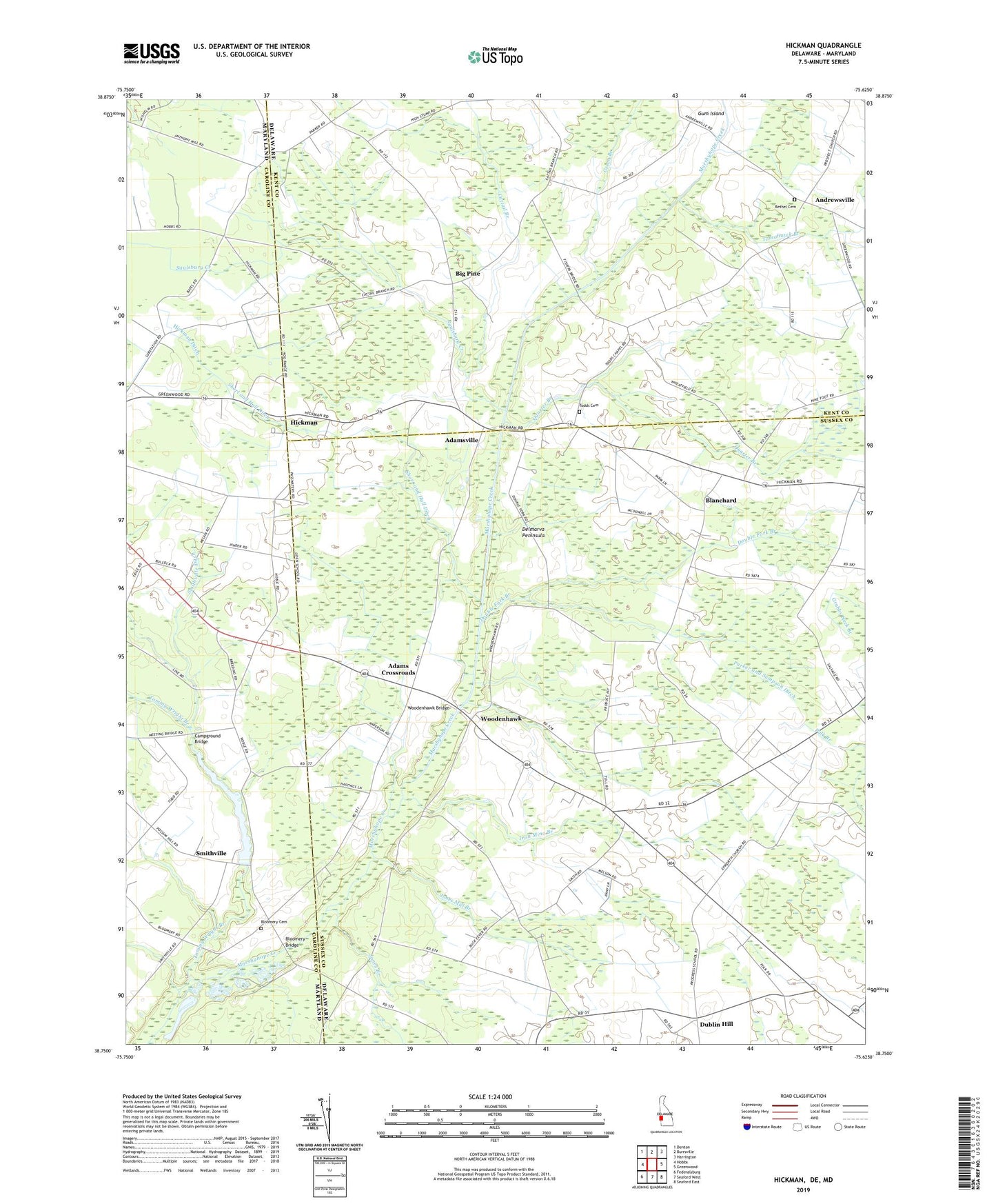
2023 topographic map quadrangle Hickman in the states of Delaware, Maryland. Scale: 1:24000. Based on the newly updated USGS 7.5' US Topo map series, this map is in the following counties: Sussex, Kent, Caroline. The map contains contour data, water features, and other items you are used to seeing on USGS maps, but also has updated roads and other features. This is the next generation of topographic maps. Printed on high-quality waterproof paper with UV fade-resistant inks.
Quads adjacent to this one:
West: Hobbs
Northwest: Denton
North: Burrsville
Northeast: Harrington
East: Greenwood
Southeast: Seaford East
South: Seaford West
Southwest: Federalsburg
Contains the following named places: Adams Crossroads, Adamsville, Andrewsville, Bethel Cemetery, Bethel Church, Big Pine, Blanchard, Bloomery, Bloomery Bridge, Bloomery Cemetery, Bloomery Church, Bloomery School, Bullock School, Campground Bridge, Cattail Branch, Double Fork Branch, Dublin Hill, Dublin Hill Community House, Epworth Church, Green Branch, Gum Island, Hickman, Hickman Ditch, Iron Mine Branch, Jones Branch, Jones Mill Branch, Northwest Fork Hundred, Parker and Sampson Ditch, Quarter Branch, Saulsbury Creek, School Number 15, Scotts Corner, Short and Hall Ditch, Smithville, Smithville Ditch, Smithville Lake, Smithville Lake Community Park, Smithville Lake Dam, Smithville Mill, Stafford Ditch, Todds Cemetery, Todds Church, Tomahawk Branch, Tommy Wright Branch, Trinity United Methodist Church, WDLE-FM (Federalsburg), Willoughby School, Woodenhawk, Woodenhawk Bridge, Woodenhawk Pines


