MyTopo
Harrington Delaware US Topo Map
Couldn't load pickup availability
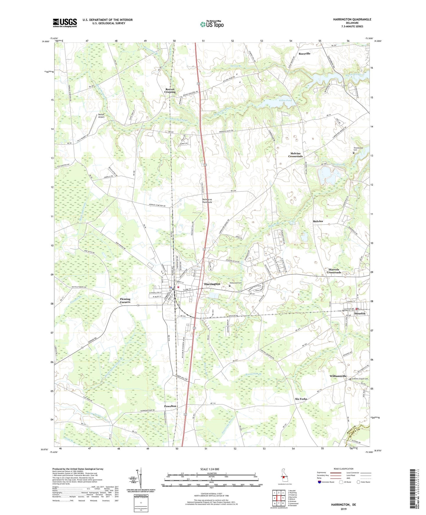
2023 topographic map quadrangle Harrington in the state of Delaware. Scale: 1:24000. Based on the newly updated USGS 7.5' US Topo map series, this map is in the following counties: Kent, Sussex. The map contains contour data, water features, and other items you are used to seeing on USGS maps, but also has updated roads and other features. This is the next generation of topographic maps. Printed on high-quality waterproof paper with UV fade-resistant inks.
Quads adjacent to this one:
West: Burrsville
Northwest: Marydel
North: Wyoming
Northeast: Frederica
East: Milford
Southeast: Ellendale
South: Greenwood
Southwest: Hickman
This map covers the same area as the classic USGS quad with code o38075h5.
Contains the following named places: Argos Choice, Asbury United Methodist Church, Barber Sand and Gravel Pit, Beaverdam Branch, Belfair Airport, Bernadettes Catholic Church, Black Swamp Creek, Bloomfield Acres, Calvary Wesleyan Church, Circle Haven Mobile Home Park, City of Harrington, Community Pentecostal Church of God, Coursey Pond, Coursey Pond Dam, D and K Mobile Home Park, Delaware Department of Transportation Maintenance Area, Delaware State Fairgrounds, Dover Miracle Revival Church, Fan Branch, Felton Division, Fernwood, Five Corners, Fleming Corners, Griffiths Chapel, Griffiths Chapel Cemetery, Harrington, Harrington Baptist Church, Harrington City Hall, Harrington Division, Harrington Fire Company Incorporated Station 50, Harrington Midway Park Center Shopping Center, Harrington Police Department, Harrington Post Office, Harrington Public Library, Harrington Racetrack, Harrington Senior Center, Hollywood Cemetery, Houston, Houston Methodist Church, Houston Post Office, Houston Town Hall, Houston Volunteer Fire Company, I and I Mobile Home Park, Independent Bible Fellowship Center, Independent Bible Fellowship Church, Indian Branch, Jacksons Ridge, John Char Estates, Killen Pond, Killen Pond Dam, Killens Pond State Park, Lake Forest High School, Lake Forest Mobile Home Est, Lake Forest South Elementary School, Lake Forest South School, Laws Mennonite Church, Lucky Estates, Marvels Crossroads, Mastens Corner, Melvins, Melvins Crossroads, Messick Community Center, Metropolitan United Methodist Church, Mount Moriah Church of the Living God, Paris Woods, Pilgrims Chapel, Pine Ridge, Pleasant Woods, Powelton, Reeves Crossing, Roesville, Saint Paul American Methodist Episcopal Church, Saint Stephens Episcopal Church, Seventh Day Adventist Church, Six Forks, Spring Branch, Thistlewood Cemetery, Town of Houston, Trinity United Methodist Church, W T Chipman Middle School, Warrington Manor, Williamsville, ZIP Code: 19954


