MyTopo
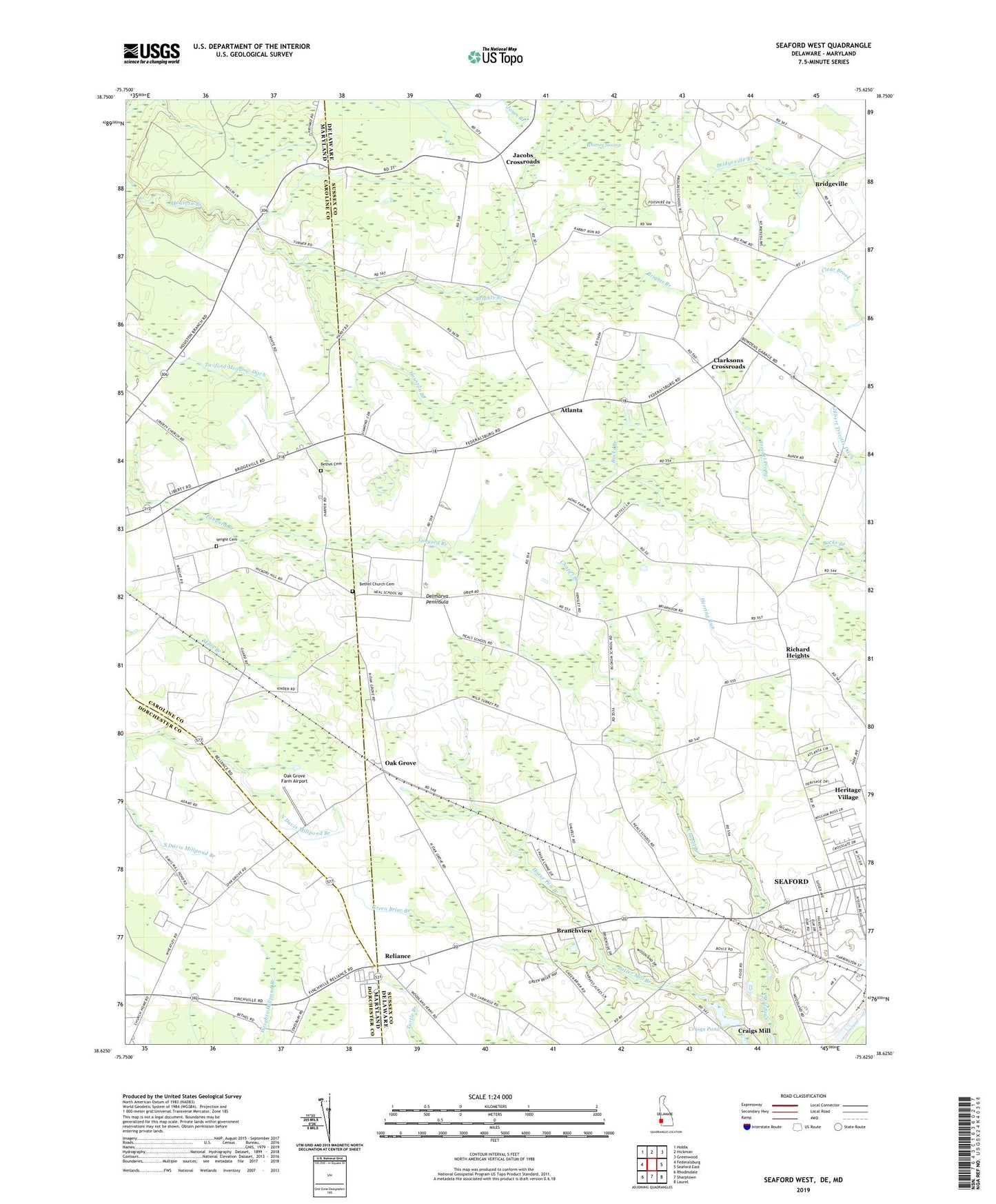
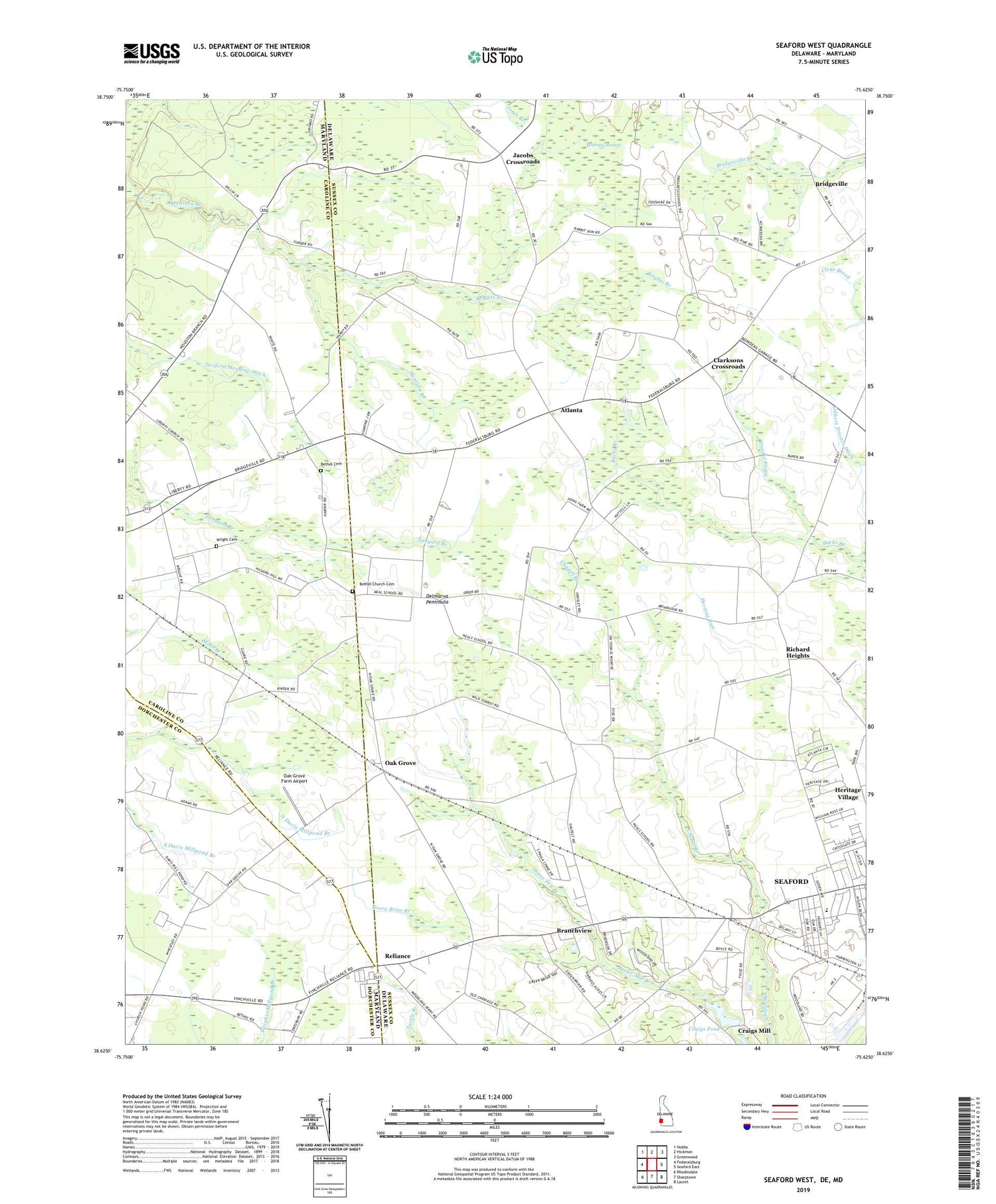
Seaford West Delaware US Topo Map
Couldn't load pickup availability
2023 topographic map quadrangle Seaford West in the states of Delaware, Maryland. Scale: 1:24000. Based on the newly updated USGS 7.5' US Topo map series, this map is in the following counties: Sussex, Caroline, Dorchester. The map contains contour data, water features, and other items you are used to seeing on USGS maps, but also has updated roads and other features. This is the next generation of topographic maps. Printed on high-quality waterproof paper with UV fade-resistant inks.
Quads adjacent to this one:
West: Federalsburg
Northwest: Hobbs
North: Hickman
Northeast: Greenwood
East: Seaford East
Southeast: Laurel
South: Sharptown
Southwest: Rhodesdale
Contains the following named places: Atlanta, Atlanta Estates, Atlanta Road Alliance Church, Bethel Cemetery, Bethel Church, Bethel Church Cemetery, Blocksom School, Bossard Property, Branchview, Briar Hook, Brights Branch, Church of the Nazarene, Clarksons Crossroads, Craigs Mill, Craigs Pond, Devonshire Woods, Flower Station, Freidel Prong, Gethsemane United Methodist Church, Gilbert Trivitts Ditch, Grace Baptist Church, Green Briar Branch, Heritage Village, Hickory Hill School, Horse Pen Branch, House of Prayer Christian Church, Jacobs Crossroads, Johnsons Cross Roads Tavern, Kiwanis Park, New Liberty Church, Nylon Capital Shopping Center, Oak Grove, Oak Grove Farm Airport, Reliance, Richard Heights, Ricland Heights, School Number 8, Seaford Golf and Country Club, Seaford Hundred, Seaford Junior High School, Shuffelt Acres, The Church of Jesus Christ of Latter Day Saints, Wesley Church, Whitney Swamp, Woodland Station, Wright Cemetery, Wright School


