MyTopo
Apalachicola Florida US Topo Map
Couldn't load pickup availability
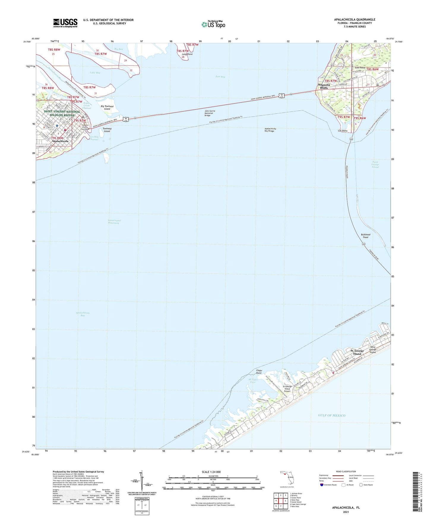
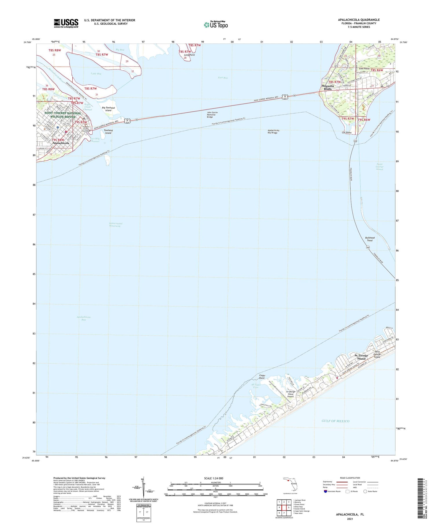
2025 topographic map quadrangle Apalachicola in the state of Florida. Scale: 1:24000. Based on the newly updated USGS 7.5' US Topo map series, this map is in the following counties: Franklin. The map contains contour data, water features, and other items you are used to seeing on USGS maps, but also has updated roads and other features. This is the next generation of topographic maps. Printed on high-quality waterproof paper with UV fade-resistant inks.
Quads adjacent to this one:
West: West Pass
Northwest: Jackson River
North: Beverly
Northeast: Green Point
East: Goose Island
South: New Inlet
Southwest: Cape Saint George
This map covers the same area as the classic USGS quad with code o29084f8.
Contains the following named places: All Tides Cove, Apalachicola, Apalachicola Bay, Apalachicola Bay Aquatic Preserve, Apalachicola Bay Bridge, Apalachicola High School, Apalachicola Police Department, Apalachicola Post Office, Apalachicola River, Apalachicola Volunteer Fire Department, Big Towhead Island, Bulkhead Shoal, Cat Point, Cedar Point, City of Apalachicola, East Point, Eastpoint, Eastpoint Post Office, Franklin County Adult School, George E Weems Memorial Hospital, John Gorrie Memorial Bridge, John Gorrie Museum State Park, Kids World, Little Bay, Little Saint Marks River, Long Point, Magnolia Bluffs, Saint George Island, Saint George Island Census Designated Place, Saint George Island West Volunteer Fire Department Station 2, Saint Marks River, Scipio Creek, Scipio Creek Channel, St George Island Airport, Towhead Island, Weems Memorial Hospital EMS, WOYS-FM (Apalachicola)


