MyTopo
Barley Barber Swamp Florida US Topo Map
Couldn't load pickup availability
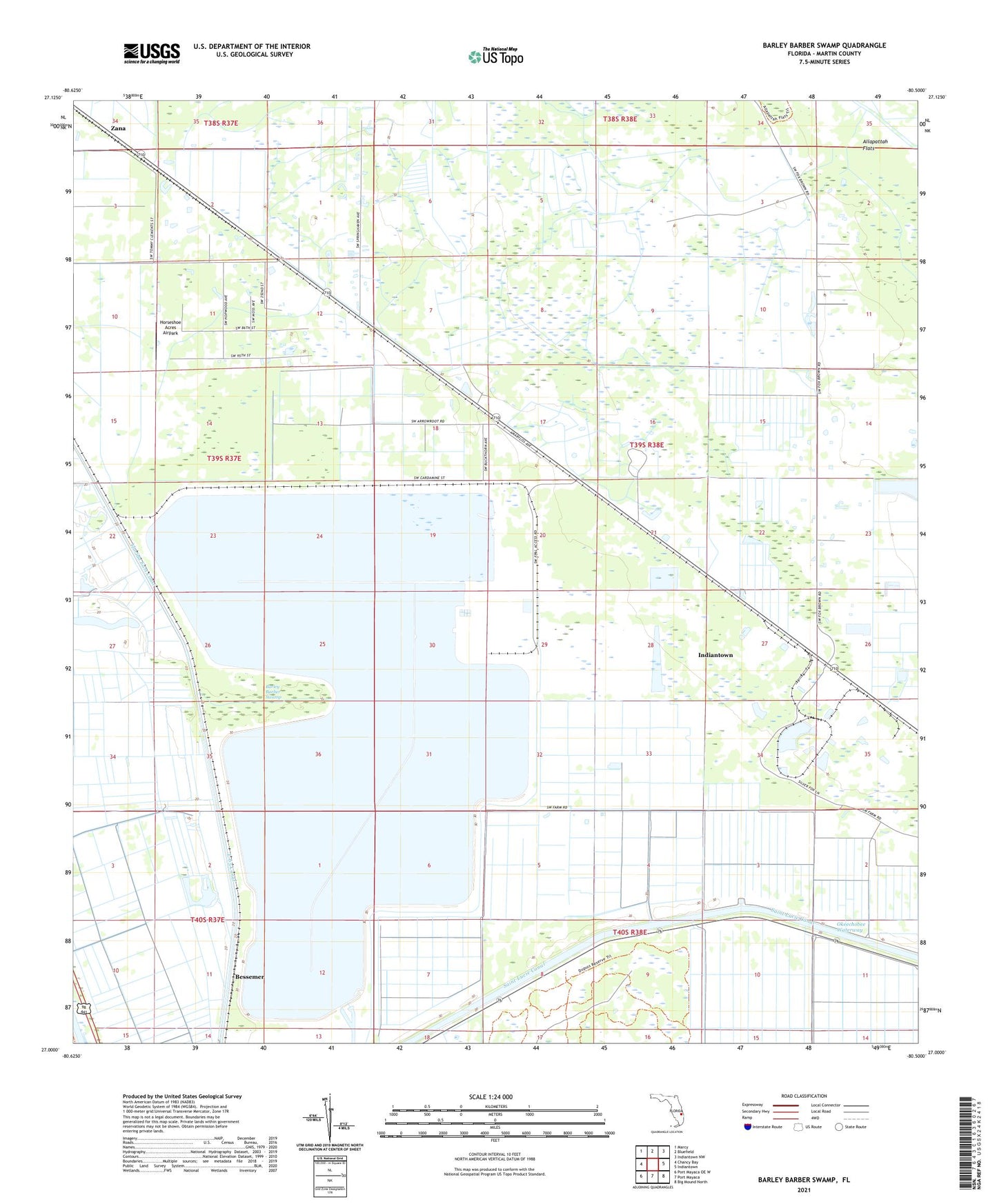
2024 topographic map quadrangle Barley Barber Swamp in the state of Florida. Scale: 1:24000. Based on the newly updated USGS 7.5' US Topo map series, this map is in the following counties: Martin. The map contains contour data, water features, and other items you are used to seeing on USGS maps, but also has updated roads and other features. This is the next generation of topographic maps. Printed on high-quality waterproof paper with UV fade-resistant inks.
Quads adjacent to this one:
West: Chancy Bay
Northwest: Marcy
North: Bluefield
Northeast: Indiantown NW
East: Indiantown
Southeast: Big Mound North
South: Port Mayaca
Southwest: Port Mayaca OE W
This map covers the same area as the classic USGS quad with code o27080a5.
Contains the following named places: Barley Barber Swamp, Bessemer, Coxs Hammock Airport, Florida East Coast, Horseshoe Acres Airpark, Indiantown Division, L-65 Canal, Martin Power Plant, Steel Station Railroad Station, Zana