MyTopo
Bluefield Florida US Topo Map
Couldn't load pickup availability
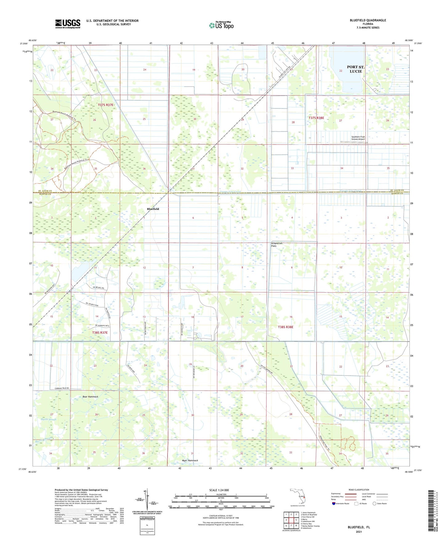
2024 topographic map quadrangle Bluefield in the state of Florida. Scale: 1:24000. Based on the newly updated USGS 7.5' US Topo map series, this map is in the following counties: Martin, St. Lucie. The map contains contour data, water features, and other items you are used to seeing on USGS maps, but also has updated roads and other features. This is the next generation of topographic maps. Printed on high-quality waterproof paper with UV fade-resistant inks.
Quads adjacent to this one:
West: Marcy
Northwest: Jones Hammock
North: North of Bluefield
Northeast: Fort Pierce SW
East: Indiantown NW
Southeast: Indiantown
South: Barley Barber Swamp
Southwest: Chancy Bay
This map covers the same area as the classic USGS quad with code o27080b5.
Contains the following named places: Allapattah Flats, Bluefield, Boar Hammock, Dunklin Memorial Camp, Martin Grade Volunteer Fire Department Station 28, Myer Hammock, Myrtle Slough, Parker Branch, Southern Fruit Groves Airport