MyTopo
Cedar Key Florida US Topo Map
Couldn't load pickup availability
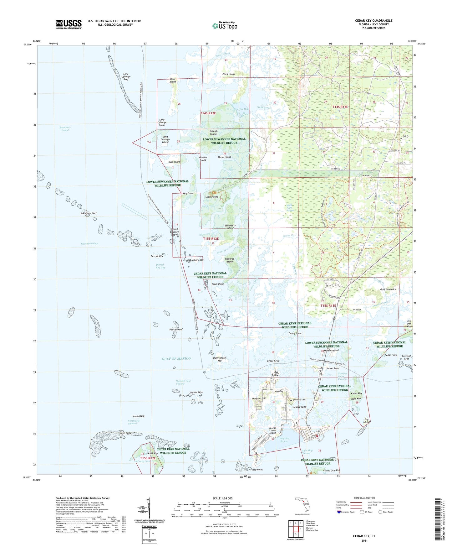
2025 topographic map quadrangle Cedar Key in the state of Florida. Scale: 1:24000. Based on the newly updated USGS 7.5' US Topo map series, this map is in the following counties: Levy. The map contains contour data, water features, and other items you are used to seeing on USGS maps, but also has updated roads and other features. This is the next generation of topographic maps. Printed on high-quality waterproof paper with UV fade-resistant inks.
Quads adjacent to this one:
Northwest: Suwannee
North: East Pass
Northeast: Chiefland SW
East: Sumner
South: Seahorse Key
This map covers the same area as the classic USGS quad with code o29083b1.
Contains the following named places: Black Point, Black Point Swamp, Buck Island, Candy Island, Cedar Key, Cedar Key Museum State Park, Cedar Key Police Department, Cedar Key Post Office, Cedar Key School, Cedar Key Scrub State Reserve, Cedar Key State Memorial, Cedar Key State Museum, Cedar Key Volunteer Fire Department, Cedar Keys, Cedar Point, City of Cedar Key, Clark Creek, Clark Island, Daughtry Bayou, Deer Island, Dennis Creek, Derrick Key, Derrick Key Gap, Dog Island, Ericson Creek, Garden Island, George T Lewis Airport, Giger Creek, Gomez Keys, Goose Creek, Gulf Hammock, Havens Island, Hodgson Hill, Hog Island, Horse Island, Horse Island Creek, Levy County Emergency Medical Services Station 5, Live Oak Key, Lone Cabbage Island, Lone Cabbage Reef, Long Cabbage Island, Lukens Creek, McClamory Key, McCrary Cove, North Bank, North Key, Northwest Channel, Number Four Channel, Number Three Channel, Pelican Reef, Piney Point, Preacher Hole, Prodie Creek, Raleigh Islands, Rattlesnake Key, Richards Island, Rye Key, Sand Creek, Scale Key, Seabreeze Creek, Seabreeze Island, Shell Mound, South Bank, Spanish Bayonet Island, Steamboat Gap, Sunset Point, Suwannee Reef, Wakasassa, Way Key, White Shell Bar, ZIP Code: 32625


