MyTopo
De Funiak Springs East Florida US Topo Map
Couldn't load pickup availability
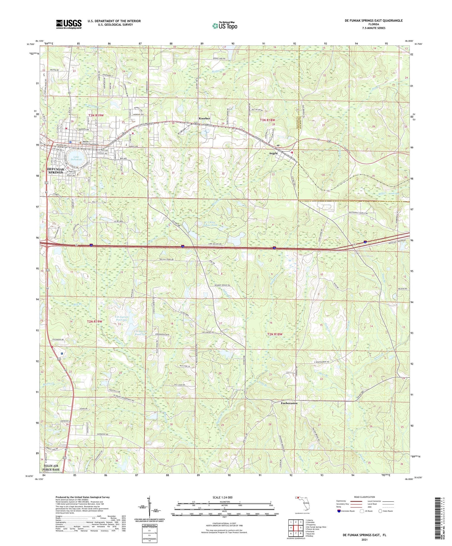
2024 topographic map quadrangle De Funiak Springs East in the state of Florida. Scale: 1:24000. Based on the newly updated USGS 7.5' US Topo map series, this map is in the following counties: Walton, Holmes. The map contains contour data, water features, and other items you are used to seeing on USGS maps, but also has updated roads and other features. This is the next generation of topographic maps. Printed on high-quality waterproof paper with UV fade-resistant inks.
Quads adjacent to this one:
West: De Funiak Springs West
Northwest: Liberty
North: Glendale
Northeast: Prosperity
East: Ponce de Leon
Southeast: Redbay
South: Rock Hill
Southwest: Portland
This map covers the same area as the classic USGS quad with code o30086f1.
Contains the following named places: Argyle, Argyle Church, Argyle Fire Department, Argyle Post Office, Bay Branch, C J King Junior Pond, City of De Funiak Springs, Cuchens Airport, Davis Lane Church, Days Branch, De Funiak Springs, DeFuniak Springs Fire Department, DeFuniak Springs Police Department, DeFuniak Square, Euchee Valley Church, Eucheeanna, Folks Creek, Gillis Chapel, Goose Branch, Healthmark Regional Medical Center, Indian Creek, Indian Creek Church, Jack Bay, Koerber, Lake DeFuniak, Long Branch, Otter Branch, Panther Creek, S D Ingram Pond One, S D Ingram Pond Two, Saint Johns Church, Turner Farms Airport, Walcan, Walton County Fire Rescue Station 2 United Emergency Medical Services, Walton County Fire Rescue Station 4, Walton County Vocational Technical School, Walton Middle School, WGTX-AM (De Funiak Springs), WQUH-FM (De Funiak Springs), WZEP-AM (De Funiak Springs)