MyTopo
Esto Florida US Topo Map
Couldn't load pickup availability
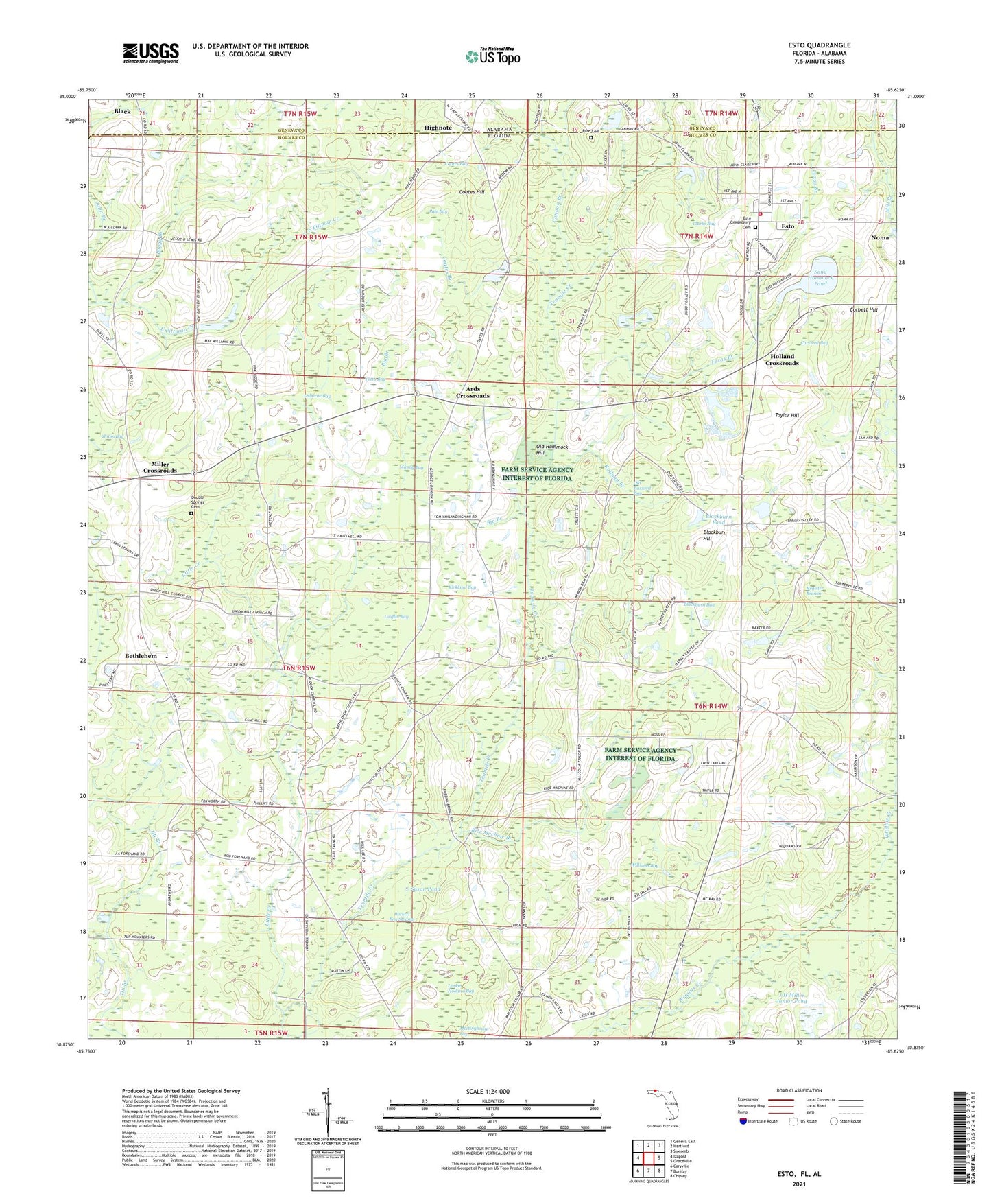
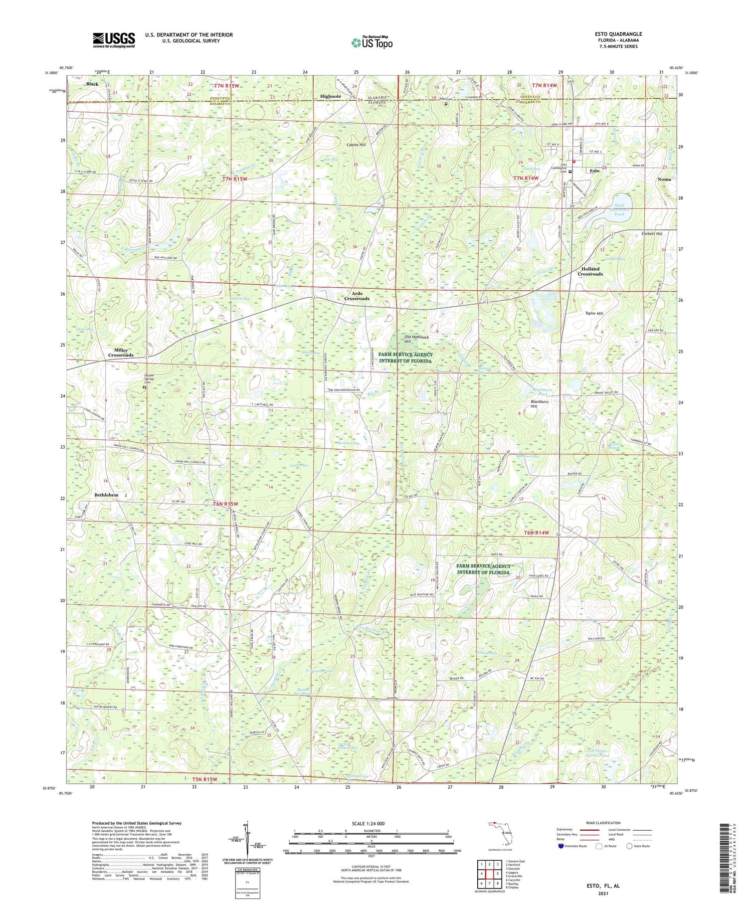
2024 topographic map quadrangle Esto in the states of Florida, Alabama. Scale: 1:24000. Based on the newly updated USGS 7.5' US Topo map series, this map is in the following counties: Holmes, Geneva. The map contains contour data, water features, and other items you are used to seeing on USGS maps, but also has updated roads and other features. This is the next generation of topographic maps. Printed on high-quality waterproof paper with UV fade-resistant inks.
Quads adjacent to this one:
West: Izagora
Northwest: Geneva East
North: Hartford
Northeast: Slocomb
East: Graceville
Southeast: Chipley
South: Bonifay
Southwest: Caryville
This map covers the same area as the classic USGS quad with code o30085h6.
Contains the following named places: Ards Crossroads, Bethany Church, Bethlehem, Bethlehem Church, Bethlehem School, Bethlehem West Florida Camp Meeting Ground, Big Branch, Blackburn Bay, Blackburn Hill, Blackburn Pond, Boggy Branch, Burkett Bay Swamp, Cannon Branch, Carswell Bay, Clarks Bay, Coates Bay, Coates Branch, Coates Hill, Corbett Hill, Double Springs Cemetery, Esto, Esto Volunteer Fire Department, Esto-Noma Division, Highnote, Holland Crossroads, J H Miller Junior Pond, John Branch, Kirkland Bay, Larkin Holland Bay, Lauflin Bay, Little Creek, Mandy Bay, Miller Crossroads, Mount Carmel Church, Mount Zion Church, Old Buzzard Bay, Old Hammock Hill, Osborne Bay, Pate Bay, Pate Cemetery, Pine Ridge Church, Red Hill Church, Register Branch, Rice Machine Branch, Rolland Branch, Sand Hammock Pond, Susan Pond, Taylor Hill, Texas Branch, Town of Esto, Union Hill Church, Williams Bay, Wrights Creek Lookout Tower, Yates Bay


