MyTopo
Chipley Florida US Topo Map
Couldn't load pickup availability
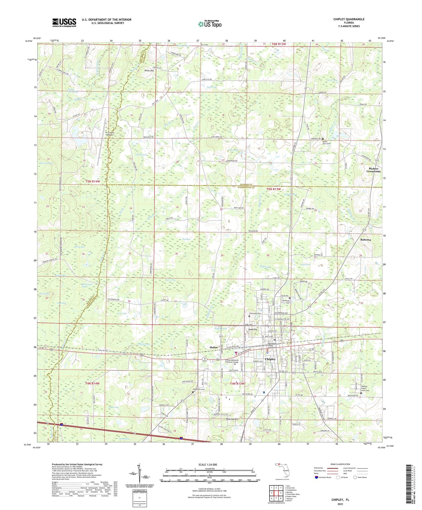
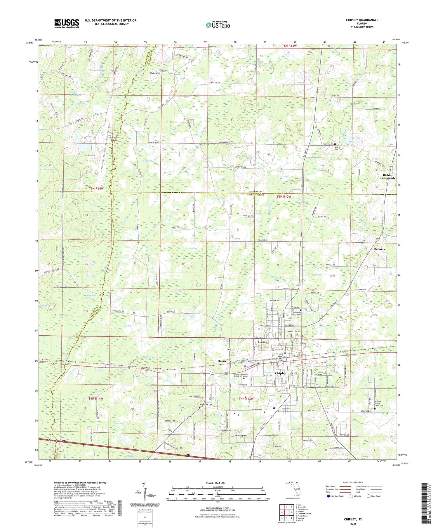
2024 topographic map quadrangle Chipley in the state of Florida. Scale: 1:24000. Based on the newly updated USGS 7.5' US Topo map series, this map is in the following counties: Washington, Jackson, Holmes. The map contains contour data, water features, and other items you are used to seeing on USGS maps, but also has updated roads and other features. This is the next generation of topographic maps. Printed on high-quality waterproof paper with UV fade-resistant inks.
Quads adjacent to this one:
West: Bonifay
Northwest: Esto
North: Graceville
Northeast: Campbellton
East: Cottondale West
Southeast: Alford
South: Wausau
Southwest: Poplar Head
This map covers the same area as the classic USGS quad with code o30085g5.
Contains the following named places: Alligator Creek, Bahoma, Big Branch, Chance Bay, Chipley, Chipley Division, Chipley Fire Department, Chipley High School, Chipley Police Department, Chipley Post Office, City of Chipley, Dam Pond, Double Spring Bay, Duck Pond, Grass Bay, Green Bay, Gum Creek, Harrel Square Shopping Center, Helms Branch, Hicks Hill, Holmes Creek Church, Hoover Ditch, Hulaw, Kate M Smith Elementary School, Lawlor Bay, Limestone Cemetery, Minnow Creek, Mount Zion Cemetery, Nearing Hill, Northwest Florida Community Hospital, Northwest Florida Community Hospital Heliport, Notch Pond, Poplar Springs Church, Rattlesnake Bay, Reddick Mill Creek, Register Bay, Richter Crossroads, Roulbac Middle School, Salem Church, Sand Hill, Sids Strip, Spence Bay, Spring Bay, Titi Branch, Tri-County Airport, Vosika's Airport, Washington County Sheriff's Office, Washington-Holmes Area Vocational Technical Center, Watts Pond, WBGC-AM (Chipley), Williams Pond, Wolf Bay


