MyTopo
Fairfield Florida US Topo Map
Couldn't load pickup availability
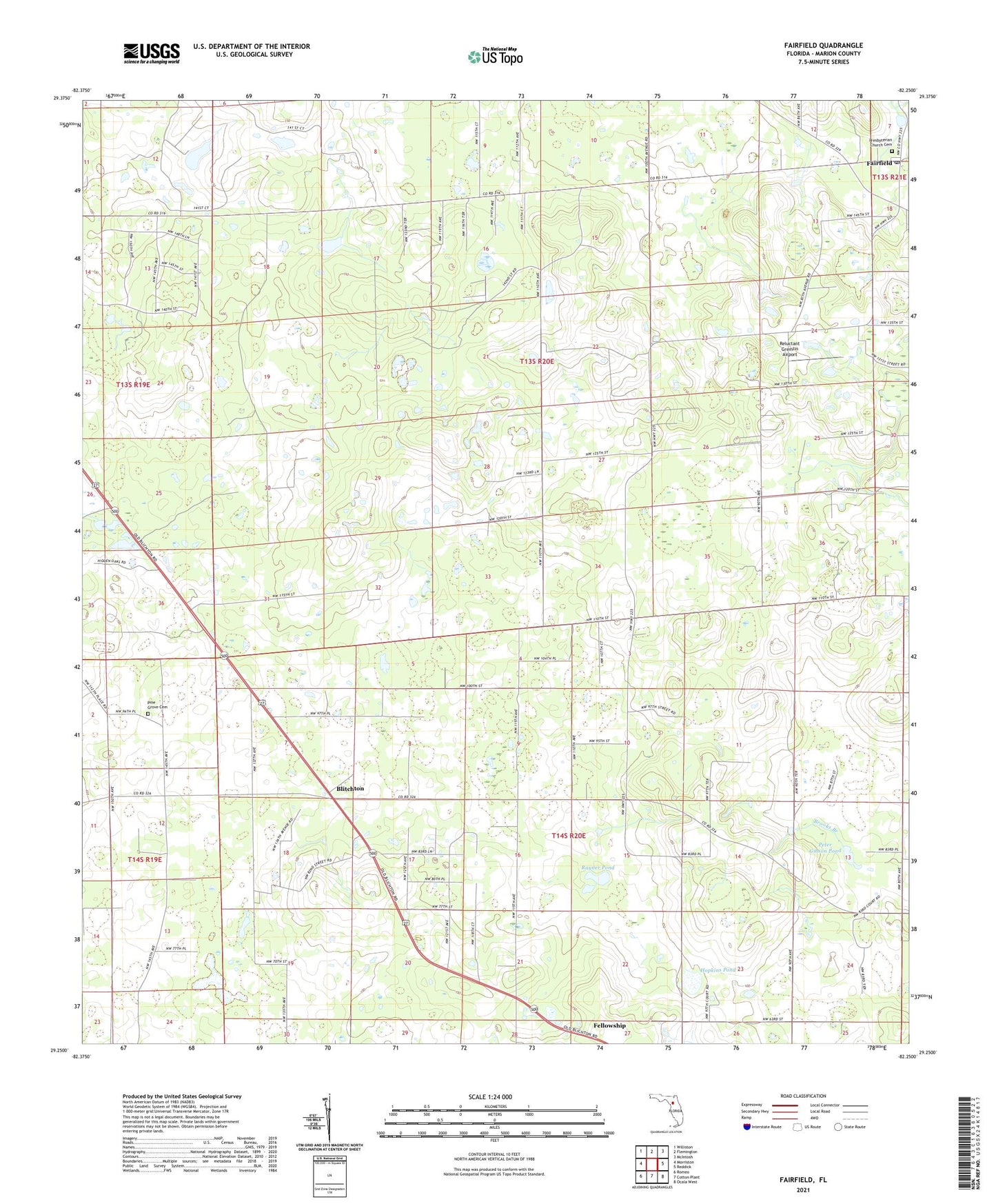
2024 topographic map quadrangle Fairfield in the state of Florida. Scale: 1:24000. Based on the newly updated USGS 7.5' US Topo map series, this map is in the following counties: Marion. The map contains contour data, water features, and other items you are used to seeing on USGS maps, but also has updated roads and other features. This is the next generation of topographic maps. Printed on high-quality waterproof paper with UV fade-resistant inks.
Quads adjacent to this one:
West: Morriston
Northwest: Williston
North: Flemington
Northeast: McIntosh
East: Reddick
Southeast: Ocala West
South: Cotton Plant
Southwest: Romeo
This map covers the same area as the classic USGS quad with code o29082c3.
Contains the following named places: Bethlehem Missionary Baptist Church, Blitchton, Blitchton Forestry Lookout Tower, Brooks Branch, Cara, Crystal Springs Mobile Home Park, Emathla, Fairfield, Fairfield Baptist Church, Fairfield Post Office, Fairfield Presbyterian Church, Greater Pine Grove Missionary Baptist Church, Heijahs Town, Holy Temple House of Prayer Praise and Deliverance, Hopkins Pond, Idle Wild Airport, Liberty Chapel Baptist Church, Ministry for Justice and Reconciliation, Mount Herman United Methodist Church, Mulvihill Field, New Chapel Missionary Baptist Church, Old Ship of Zion - End Time Ministries, Parkview Baptist Church, Peter Gibson Pond, Pine Grove Cemetery, Pleasant View Church, Rayner Pond, Reluctant Gremlin Airport, Saint Hawthorne Primitive Baptist Church, WOGX-TV (Ocala), WYIM-TV (Ocala), ZIP Code: 32686