MyTopo
Felda SE Florida US Topo Map
Couldn't load pickup availability
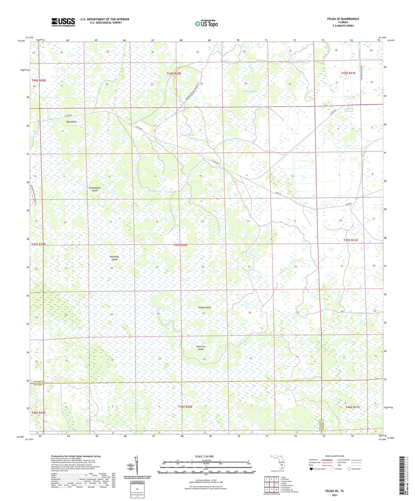
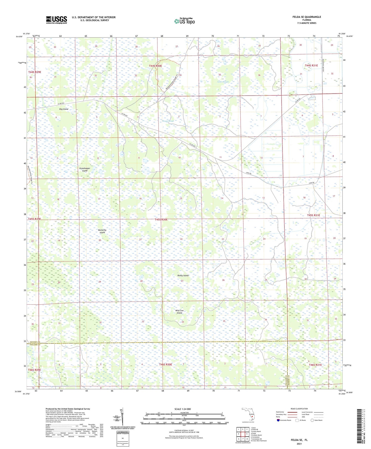
2024 topographic map quadrangle Felda SE in the state of Florida. Scale: 1:24000. Based on the newly updated USGS 7.5' US Topo map series, this map is in the following counties: Hendry, Collier. The map contains contour data, water features, and other items you are used to seeing on USGS maps, but also has updated roads and other features. This is the next generation of topographic maps. Printed on high-quality waterproof paper with UV fade-resistant inks.
Quads adjacent to this one:
West: Felda
Northwest: Sears
North: Felda NE
Northeast: Grassy Marsh
East: Graham Marsh
Southeast: Crows Nest Hammock
South: Immokalee NE
Southwest: Immokalee
This map covers the same area as the classic USGS quad with code o26081e3.
Contains the following named places: Butterfly Island, Dog Island, Grasshopper Island, Hooper Slough, Keri Lookout Tower, LaBelle Division, Lime Slough, Okaloacoochee Slough, Roney Island, Wild Cow Island