MyTopo
Glades Florida US Topo Map
Couldn't load pickup availability
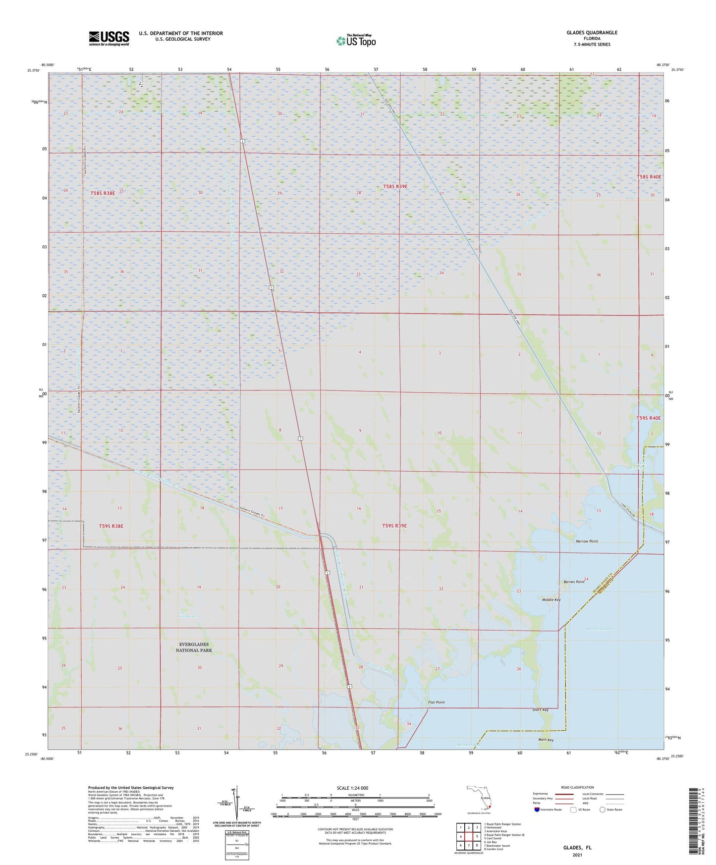
2024 topographic map quadrangle Glades in the state of Florida. Scale: 1:24000. Based on the newly updated USGS 7.5' US Topo map series, this map is in the following counties: Miami-Dade, Monroe. The map contains contour data, water features, and other items you are used to seeing on USGS maps, but also has updated roads and other features. This is the next generation of topographic maps. Printed on high-quality waterproof paper with UV fade-resistant inks.
Quads adjacent to this one:
West: Royal Palm Ranger Station SE
Northwest: Royal Palm Ranger Station
North: Homestead
Northeast: Arsenicker Keys
East: Card Sound
Southeast: Garden Cove
South: Blackwater Sound
Southwest: Joe Bay
This map covers the same area as the classic USGS quad with code o25080c4.
Contains the following named places: Aerojet Canal Number C-111, Barnes Point, Canal Number C-110, Dade Correctional Institute, Flat Point, Glades Canal, Homestead Division, Manatee Bay, Middle Key, Narrow Point, Short Key, United States Highway Canal Number C-109