MyTopo
Gold Head Branch Florida US Topo Map
Couldn't load pickup availability
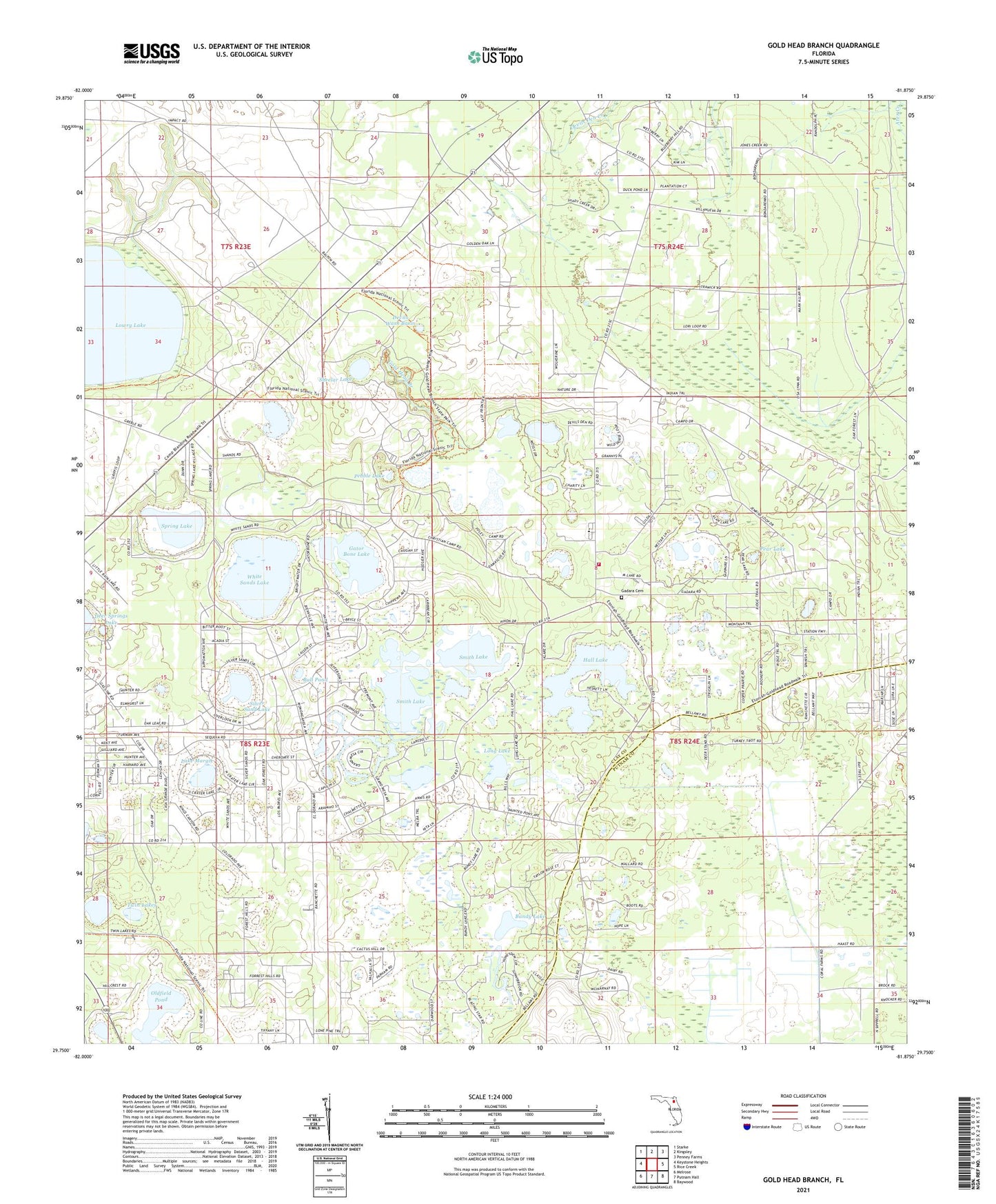
2024 topographic map quadrangle Gold Head Branch in the state of Florida. Scale: 1:24000. Based on the newly updated USGS 7.5' US Topo map series, this map is in the following counties: Clay, Putnam. The map contains contour data, water features, and other items you are used to seeing on USGS maps, but also has updated roads and other features. This is the next generation of topographic maps. Printed on high-quality waterproof paper with UV fade-resistant inks.
Quads adjacent to this one:
West: Keystone Heights
Northwest: Starke
North: Kingsley
Northeast: Penney Farms
East: Rice Creek
Southeast: Baywood
South: Putnam Hall
Southwest: Melrose
This map covers the same area as the classic USGS quad with code o29081g8.
Contains the following named places: Abundant Life Church, Big Lake Johnson, Bull Pond, Bundy Lake, Clay County Fire Rescue Station 23 - McRae, Coopers Pond, Devils Wash Basin, Flower Prairie, Gadara Baptist Church, Gadara Cemetery, Gator Bone Lake, Gold Head Branch, Goldhead American Tower, Hall Lake, Lake Hill Baptist Church, Lake Margie, Lake Washington, Little Lake Johnson, Long Lake, M Lake, McRae Elementary School, McRae Volunteer Fire Department, Mike Roess Gold Head Branch State Park, Oldfield Pond, Pear Lake, Pebble Lake, Sheelar Lake, Silver Sand Lake, Smith Lake, Spring Lake, Twin Lakes, White Sands Lake, Winding Tree Lake, ZIP Code: 32656