MyTopo
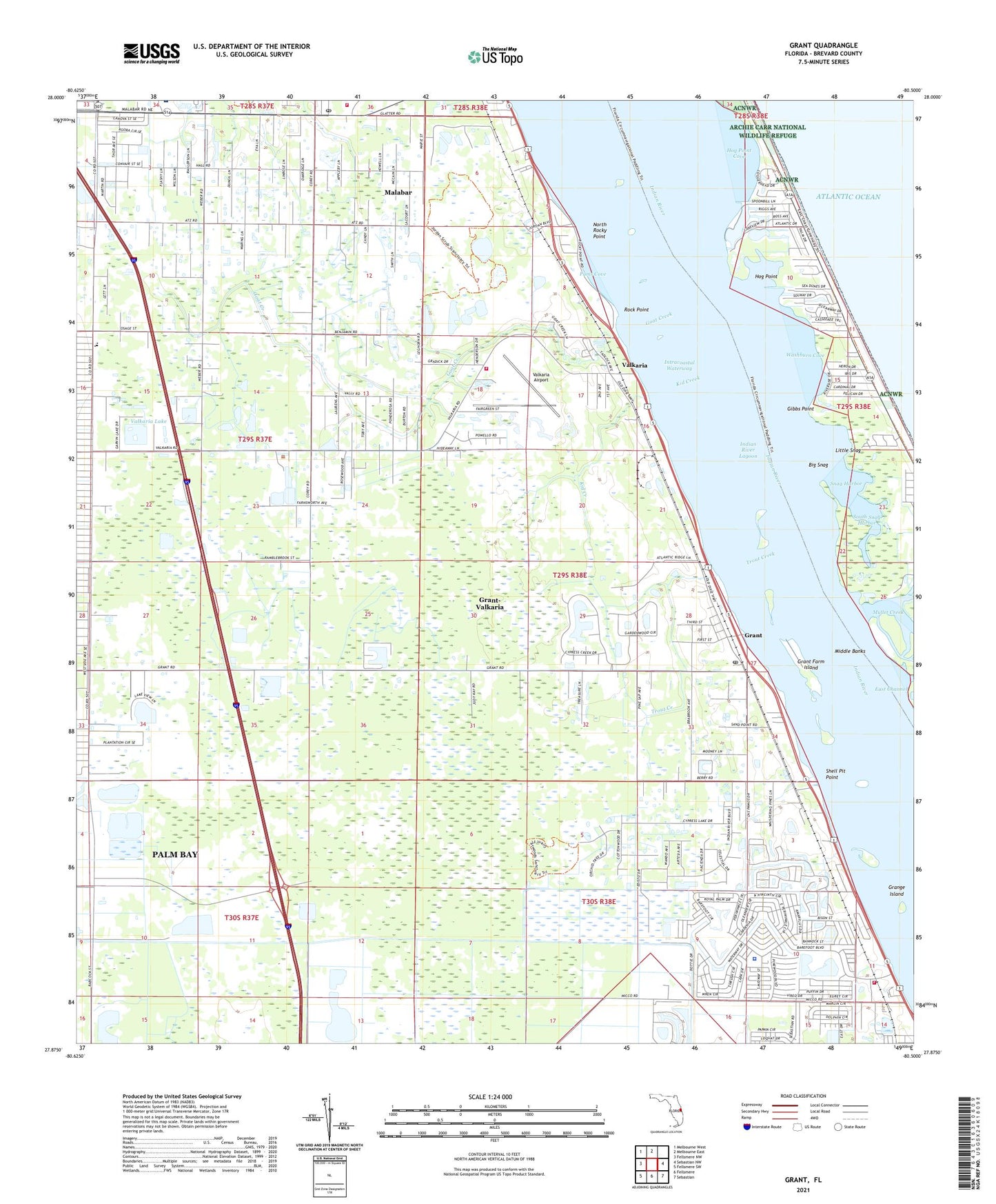
Grant Florida US Topo Map
Couldn't load pickup availability
2024 topographic map quadrangle Grant in the state of Florida. Scale: 1:24000. Based on the newly updated USGS 7.5' US Topo map series, this map is in the following counties: Brevard. The map contains contour data, water features, and other items you are used to seeing on USGS maps, but also has updated roads and other features. This is the next generation of topographic maps. Printed on high-quality waterproof paper with UV fade-resistant inks.
Quads adjacent to this one:
West: Fellsmere NW
Northwest: Melbourne West
North: Melbourne East
East: Sebastian NW
Southeast: Sebastian
South: Fellsmere
Southwest: Fellsmere SW
This map covers the same area as the classic USGS quad with code o27080h5.
Contains the following named places: Barefoot Bay Wastewater Treatment Plant, Big Snag, Brevard County Fire Rescue Station 86, Brevard County Fire Rescue Station 87, Brevard County Public Library System South Mainland Branch Library, Brevard County Sheriff's Office South Precinct Substation, Calvary Baptist Church, Church of God of Prophecy, East Channel, First Baptist Church of Barefoot Bay, First Baptist Church of Malabar, Fountainhead Memorial Park Cemetery, Four Lakes Golf Club, Gibbs Point, Goat Creek, Grange Island, Grant, Grant Community Center, Grant Farm Island, Grant Fire Department Station 85 (closed), Grant Historical House, Grant Post Office, Grant-Valkaria, Hog Point, Hog Point Cove, Indian River Shores Trailer Court, Kid Creek, Little Snag, Malabar Division, Malabar Fire Department, Malabar Post Office, Melbourne Shores, Micco, Middle Banks, Middle Gap, North Rocky Point, Pams Cove, Parrish Brothers Private Airport, Rock Point, Saint Lukes Catholic Church, Shell Pit Point, Snag Harbor, South Babcock Street Baptist Church, South Brevard Seventh Day Adventist Church, South Mainland Library Micco Branch, South Snag Harbor, Southern Comfort Mobile Home Park, The Forest Country Club, Town of Grant-Valkaria, Town of Malabar, Trout Creek, Valkaria, Valkaria Airport, Valkaria Lake, Washburn Cove, ZIP Codes: 32949, 32950, 32951


