MyTopo
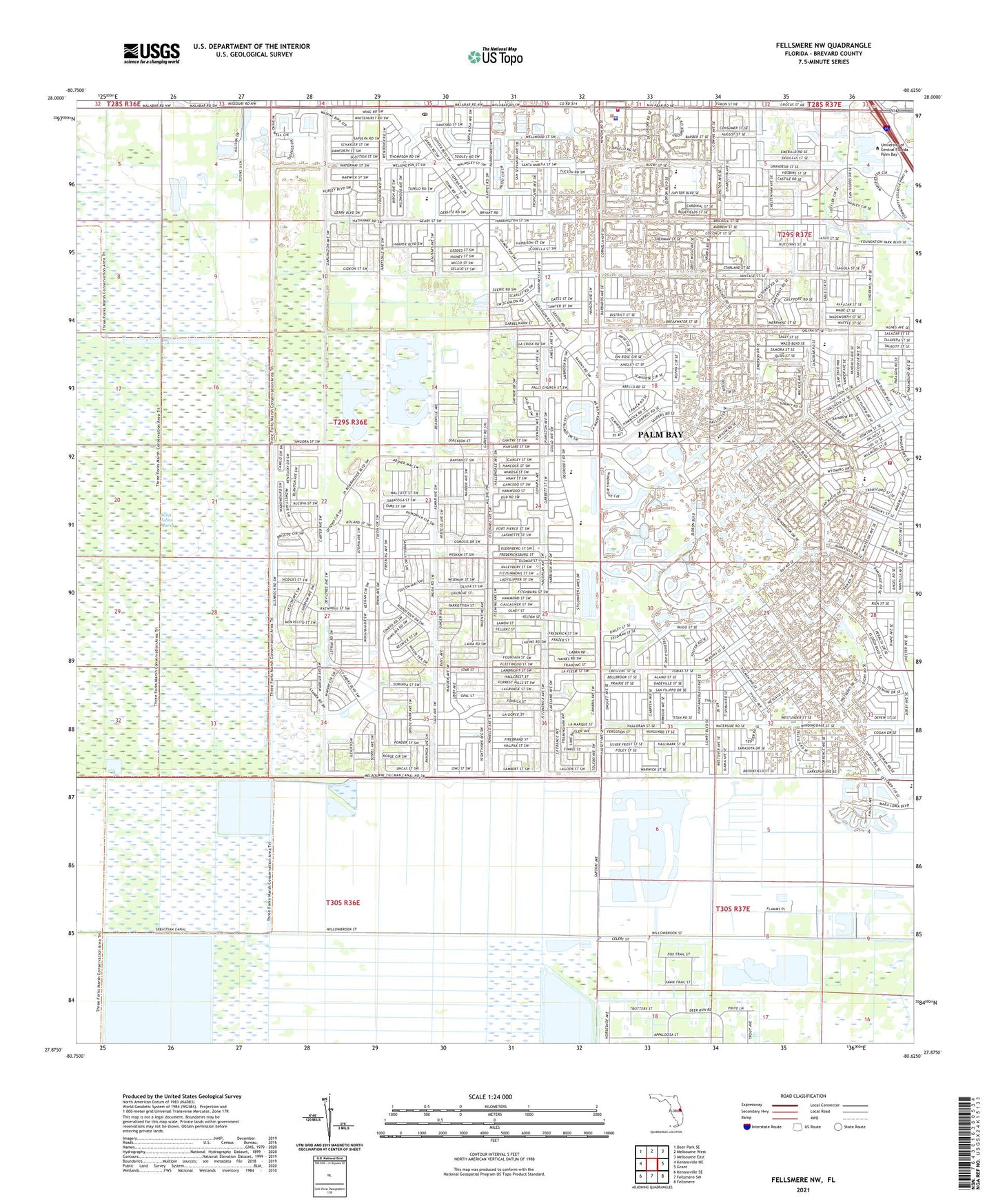
Fellsmere NW Florida US Topo Map
Couldn't load pickup availability
2024 topographic map quadrangle Fellsmere NW in the state of Florida. Scale: 1:24000. Based on the newly updated USGS 7.5' US Topo map series, this map is in the following counties: Brevard. The map contains contour data, water features, and other items you are used to seeing on USGS maps, but also has updated roads and other features. This is the next generation of topographic maps. Printed on high-quality waterproof paper with UV fade-resistant inks.
Quads adjacent to this one:
West: Kenansville NE
Northwest: Deer Park SE
North: Melbourne West
Northeast: Melbourne East
East: Grant
Southeast: Fellsmere
South: Fellsmere SW
Southwest: Kenansville SE
This map covers the same area as the classic USGS quad with code o27080h6.
Contains the following named places: Brevard Community College Palm Bay Campus Administration and General Instruction Building, Brevard Community College Palm Bay Campus Brevard Community College and University of Central Florid, Brevard Community College Palm Bay Campus Child Development Center and University of Florida Agricul, Brevard Community College Palm Bay Campus Criminal Justice Driving Pad, Brevard Community College Palm Bay Campus Library and Science Building, Brevard Community College Palm Bay Campus Multiuse Classroom Building, Brevard Community College Palm Bay Campus Palm Bay Aquatic Center, Brevard Community College Palm Bay Campus Ropes Course, Brevard Community College Palm Bay Campus Softball Field, Brevard County Fire Rescue Station 89, Brevard County Public Library System Franklin T Degroodt Memorial Library, City of Palm Bay, John F Turner Senior Elementary School, Joy Lutheran Church, Palm Bay Division, Palm Bay Fire Department Station 2, Palm Bay Fire Department Station 4, Palm Bay Fire Department Station 5, Palm Bay Police Department, Palm Bay West Post Office, Pentecostal Apostolic Church, Ringhaver Heliport, Riverwood Golf Club, The Church of the Holy Bible Apostolic, Willowbrook Farms Mobile Home Park, Zion Christian Church, ZIP Codes: 32908, 32909, 32948


