MyTopo
Lake Butler Florida US Topo Map
Couldn't load pickup availability
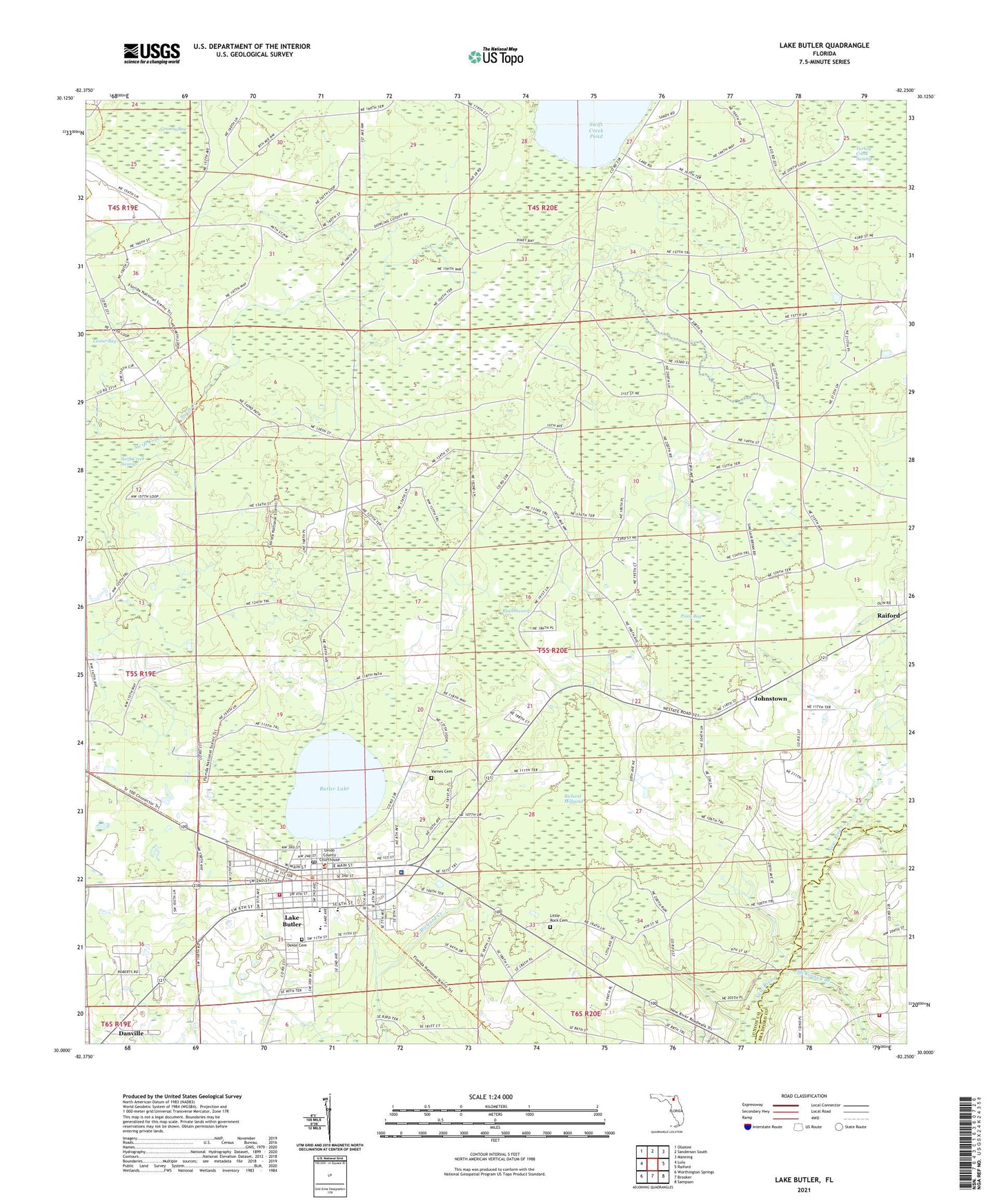
2024 topographic map quadrangle Lake Butler in the state of Florida. Scale: 1:24000. Based on the newly updated USGS 7.5' US Topo map series, this map is in the following counties: Union, Bradford. The map contains contour data, water features, and other items you are used to seeing on USGS maps, but also has updated roads and other features. This is the next generation of topographic maps. Printed on high-quality waterproof paper with UV fade-resistant inks.
Quads adjacent to this one:
West: Lulu
Northwest: Olustee
North: Sanderson South
Northeast: Manning
East: Raiford
Southeast: Sampson
South: Brooker
Southwest: Worthington Springs
This map covers the same area as the classic USGS quad with code o30082a3.
Contains the following named places: Black Swamp, Butler Lake, City of Lake Butler, Cypress Pointe Mobile Home Park, Danville, Dekle Cemetery, First Baptist Church, First Christian Church, First United Methodist Church, Goldies Mobile Home Park, Granny Bay, Johnstown, Lake Butler, Lake Butler Church of God, Lake Butler Elementary School, Lake Butler Hospital, Lake Butler Middle School, Lake Butler Post Office, Lake Butler Volunteer Fire Department, Lakeside Park, Little Rock Cemetery, Mac's Mobile Home Park, Maines Devoe Mobile Home Park, McKinney Branch, Mount Zion Church, New River Volunteer Fire Department Station 3, Piney Bay, Richard Millpond, Swift Creek Pond, Trinity Baptist Church, Union County, Union County Adult High School, Union County Department of Emergency Medical Services, Union County Public Library, Union County Sheriff's Office, Varnes Cemetery, Virginias Trailer Park


