MyTopo
Lecanto Florida US Topo Map
Couldn't load pickup availability
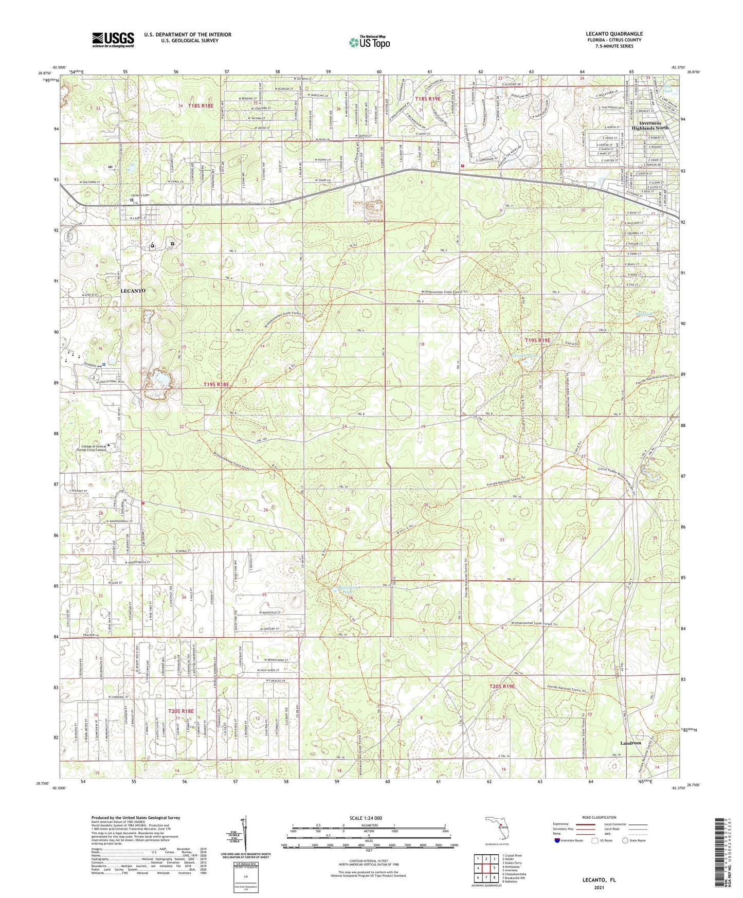
2024 topographic map quadrangle Lecanto in the state of Florida. Scale: 1:24000. Based on the newly updated USGS 7.5' US Topo map series, this map is in the following counties: Citrus. The map contains contour data, water features, and other items you are used to seeing on USGS maps, but also has updated roads and other features. This is the next generation of topographic maps. Printed on high-quality waterproof paper with UV fade-resistant inks.
Quads adjacent to this one:
West: Homosassa
Northwest: Crystal River
North: Holder
Northeast: Stokes Ferry
East: Inverness
Southeast: Nobleton
South: Brooksville NW
Southwest: Chassahowitzka
This map covers the same area as the classic USGS quad with code o28082g4.
Contains the following named places: Beverly Plaza, Big Hammock, Bull Sink, Church of Jesus Christ of Latter Day Saints, Citrus Center, Citrus County Detention Facility, Citrus County Fire Rescue Station 21, Citrus County Fire Rescue Station 23, Citrus County Health Department, Citrus County Renaissance Center, Citrus County Sheriff's Office and Emergency Operations Center, Citrus Primary Care - Allen Ridge Medical, Citrus Wildlife Management Area, College of Central Florida Citrus Campus Police Department, Cyprus Creek Juvenile Offender Correctional Center, First Baptist Church of Lecanto, Fivemile Pond, Freedom Baptist Church, Hog Pond, Holder Mine, Inverness Highlands North Census Designated Place, Landrum, Lecanto, Lecanto Cemetery, Lecanto Census Designated Place, Lecanto Church of Christ, Lecanto Community Center, Lecanto County Government Building, Lecanto High School, Lecanto High School Football Stadium, Lecanto Middle School, Lecanto Park, Lecanto Post Office, Lecanto Primary School, Mansfield Pond, Nature Coast Emergency Medical Foundation, Renaissance Center, ZIP Code: 34461


