MyTopo
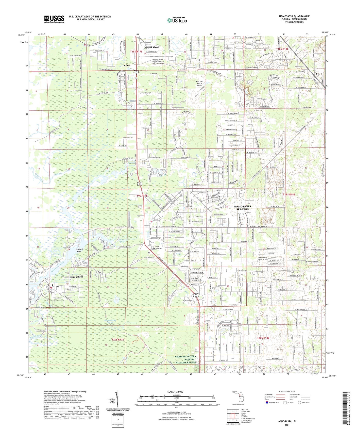
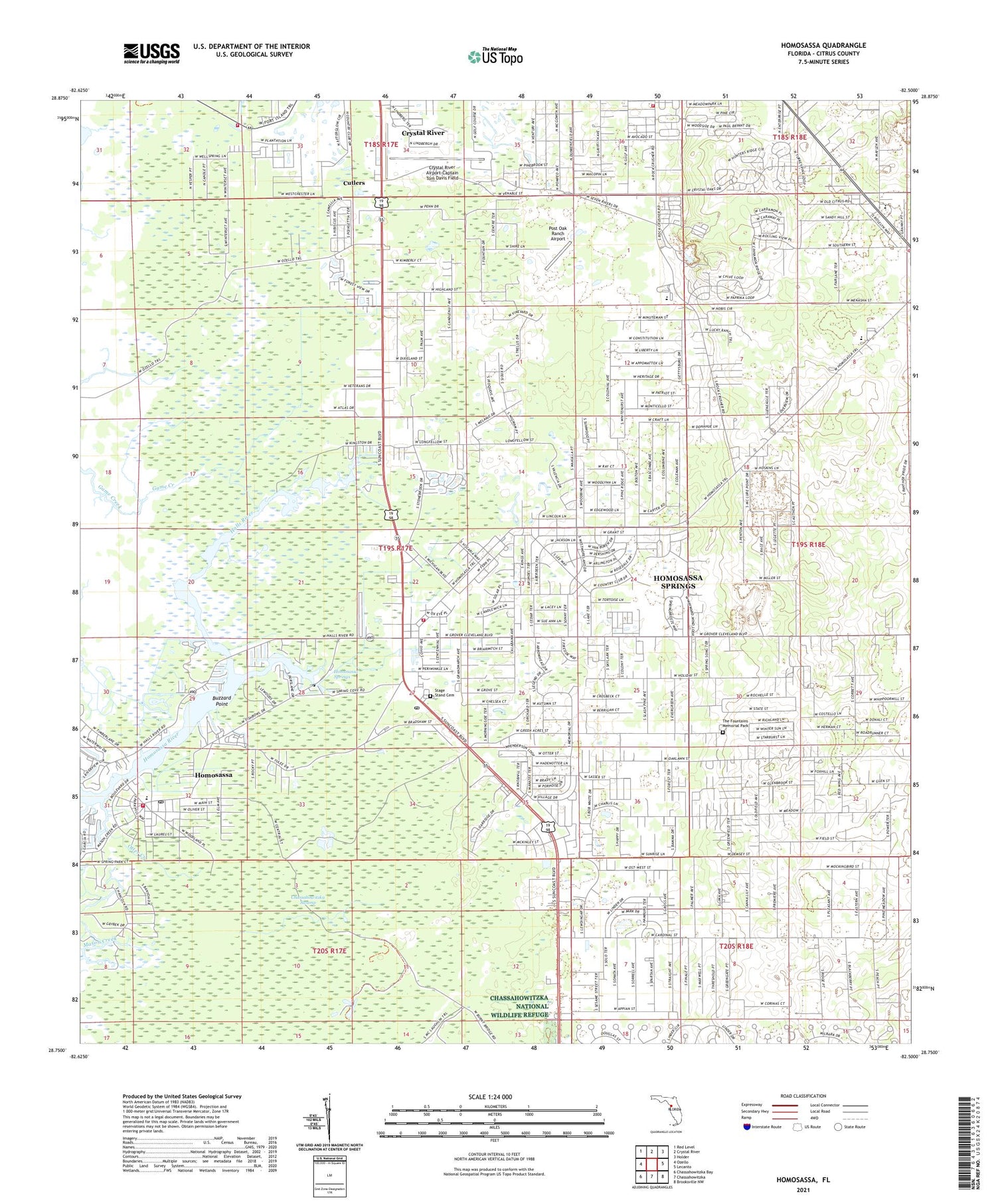
Homosassa Florida US Topo Map
Couldn't load pickup availability
2024 topographic map quadrangle Homosassa in the state of Florida. Scale: 1:24000. Based on the newly updated USGS 7.5' US Topo map series, this map is in the following counties: Citrus. The map contains contour data, water features, and other items you are used to seeing on USGS maps, but also has updated roads and other features. This is the next generation of topographic maps. Printed on high-quality waterproof paper with UV fade-resistant inks.
Quads adjacent to this one:
West: Ozello
Northwest: Red Level
North: Crystal River
Northeast: Holder
East: Lecanto
Southeast: Brooksville NW
South: Chassahowitzka
Southwest: Chassahowitzka Bay
This map covers the same area as the classic USGS quad with code o28082g5.
Contains the following named places: Buzzard Point, Christian Center Church, Citrus Christian Academy, Citrus County, Citrus County Fire Rescue Station 10, Citrus County Fire Rescue Station 17, Citrus County Fire Rescue Station 3, Citrus County Fire Rescue Station 7, Crystal River Airport Terminal, Crystal River Airport-Captain Tom Davis Field, Cutlers, First United Methodist Church, Florida National Guard 690th MP Company Armory, Grace Bible Church, Halls River, Homosassa, Homosassa Census Designated Place, Homosassa Church of God, Homosassa Elementary School, Homosassa Post Office, Homosassa Springs, Homosassa Springs Census Designated Place, Homosassa Springs Post Office, Homosassa Springs Shopping Center, Homosassa Springs Wildlife State Park, Homosassa Square, Homosassa Water Tower, Otter Creek, Post Oak Ranch Airport, Rock Crusher Elementary School, Rock Crusher Road First Church of God, Saint Michael the Archangel Greek Orthodox Church, Saint Scholastica Roman Catholic Church, Seven Rivers Christian School, Seven Rivers Presbyterian Church, Solid Rock Christian School, Stage Stand Cemetery, Sugar Mill Historic Memorial, Suncoast Baptist Church, The Church of Jesus Christ, The Fountains Memorial Park, Yulee Sugar Mill Ruins Historic State Park


