MyTopo
Lighthouse Point Florida US Topo Map
Couldn't load pickup availability
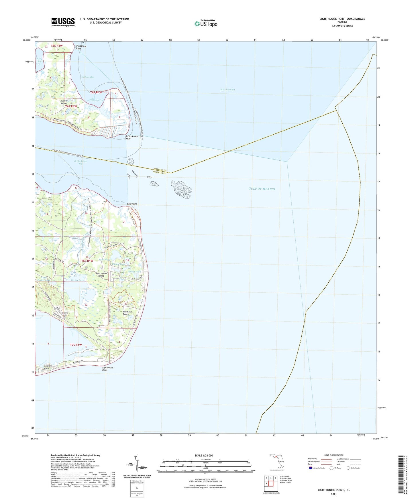
2025 topographic map quadrangle Lighthouse Point in the state of Florida. Scale: 1:24000. Based on the newly updated USGS 7.5' US Topo map series, this map is in the following counties: Franklin, Wakulla. The map contains contour data, water features, and other items you are used to seeing on USGS maps, but also has updated roads and other features. This is the next generation of topographic maps. Printed on high-quality waterproof paper with UV fade-resistant inks.
Quads adjacent to this one:
West: Saint Teresa
Northwest: Sopchoppy
North: Spring Creek
Northeast: Sprague Island
This map covers the same area as the classic USGS quad with code o29084h3.
Contains the following named places: Bald Point, Chaires Creek, Dickson Bay, Double Pond, Lady Creek, Lighthouse Point, Little Chaires Creek, Little Tucker Lake, Mashes Island, Mud Cove Fishery, Mullet Pond, Ochlockonee Fishery, Ochlockonee Point, Sand Creek, Sand Pond, Southern Dunes, Sun N Sand Beaches, Sunday Reel Fishery, Tucker Lake, Ullmore Cove, Whetstone Point