MyTopo
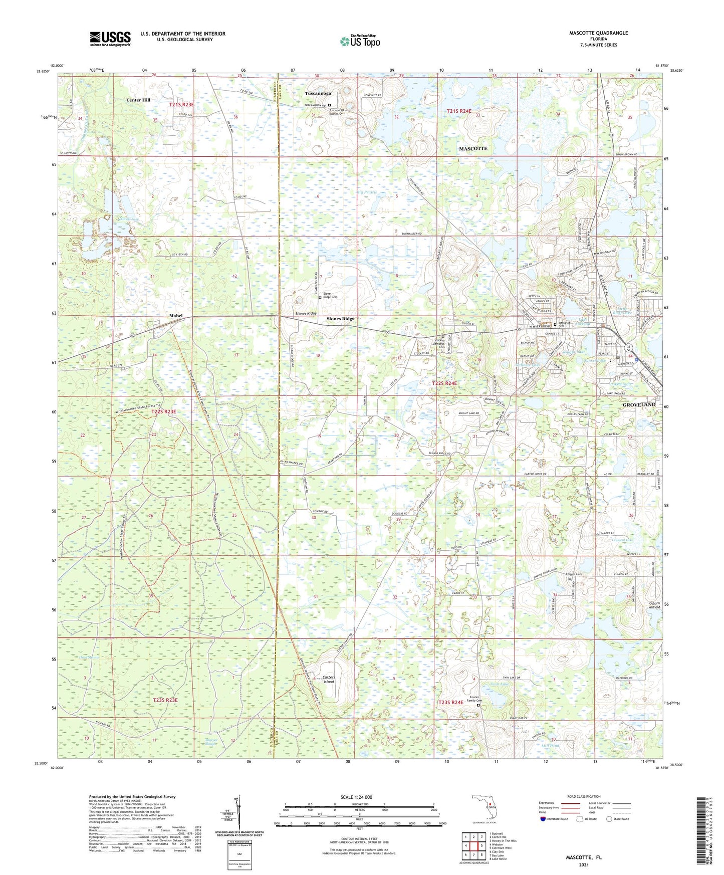
Mascotte Florida US Topo Map
Couldn't load pickup availability
2024 topographic map quadrangle Mascotte in the state of Florida. Scale: 1:24000. Based on the newly updated USGS 7.5' US Topo map series, this map is in the following counties: Lake, Sumter. The map contains contour data, water features, and other items you are used to seeing on USGS maps, but also has updated roads and other features. This is the next generation of topographic maps. Printed on high-quality waterproof paper with UV fade-resistant inks.
Quads adjacent to this one:
West: Webster
Northwest: Bushnell
North: Center Hill
Northeast: Howey-in-the-Hills
East: Clermont West
Southeast: Lake Nellie
South: Bay Lake
Southwest: Clay Sink
This map covers the same area as the classic USGS quad with code o28081e8.
Contains the following named places: Big Prairie, Carters Island, Church of God of Prophecy, City of Mascotte, Crescent Lake, Daniels Lake, East Richloam Lookout Tower, East Tower Camp, Empire Cemetery, Empire Primitive Baptist Church, Fender Family Cemetery, First Missionary Baptist Church, Gallows Lake, Groveland-Mascotte Division, Iglesia Bautista La Hermosa, Knight Lake, Lake Emergency Medical Services Station 311, Lake Jackson, Lake Linda, Land Mark Missionary Baptist Church, Lighthouse of Hope Community Church, Little Bluff Lake, Mabel, Mascotte, Mascotte Cemetery, Mascotte City Hall, Mascotte Elementary Charter School, Mascotte Fire Department, Mascotte Fire Department Station 91, Mascotte Mobile Home Park, Mascotte Police Department, Mascotte Post Office, Mascotte United Methodist Church, Mascotte Water Tower, Meadow Wood Academy, Midway Elementary School, Midway Missionary Baptist Church, Mill Pond, Mount Olive Missionary Baptist Church, Osborn Airfield, Rose of Sharon Worship Center, Saint Paul African Methodist Episcopal Church, Slones Ridge, Sunset Lake, Tuscannoga, Tuscanooga Baptist Cemetery, Tuscanooga Baptist Church, Twin Lake, ZIP Codes: 34736, 34753


