MyTopo
Bay Lake Florida US Topo Map
Couldn't load pickup availability
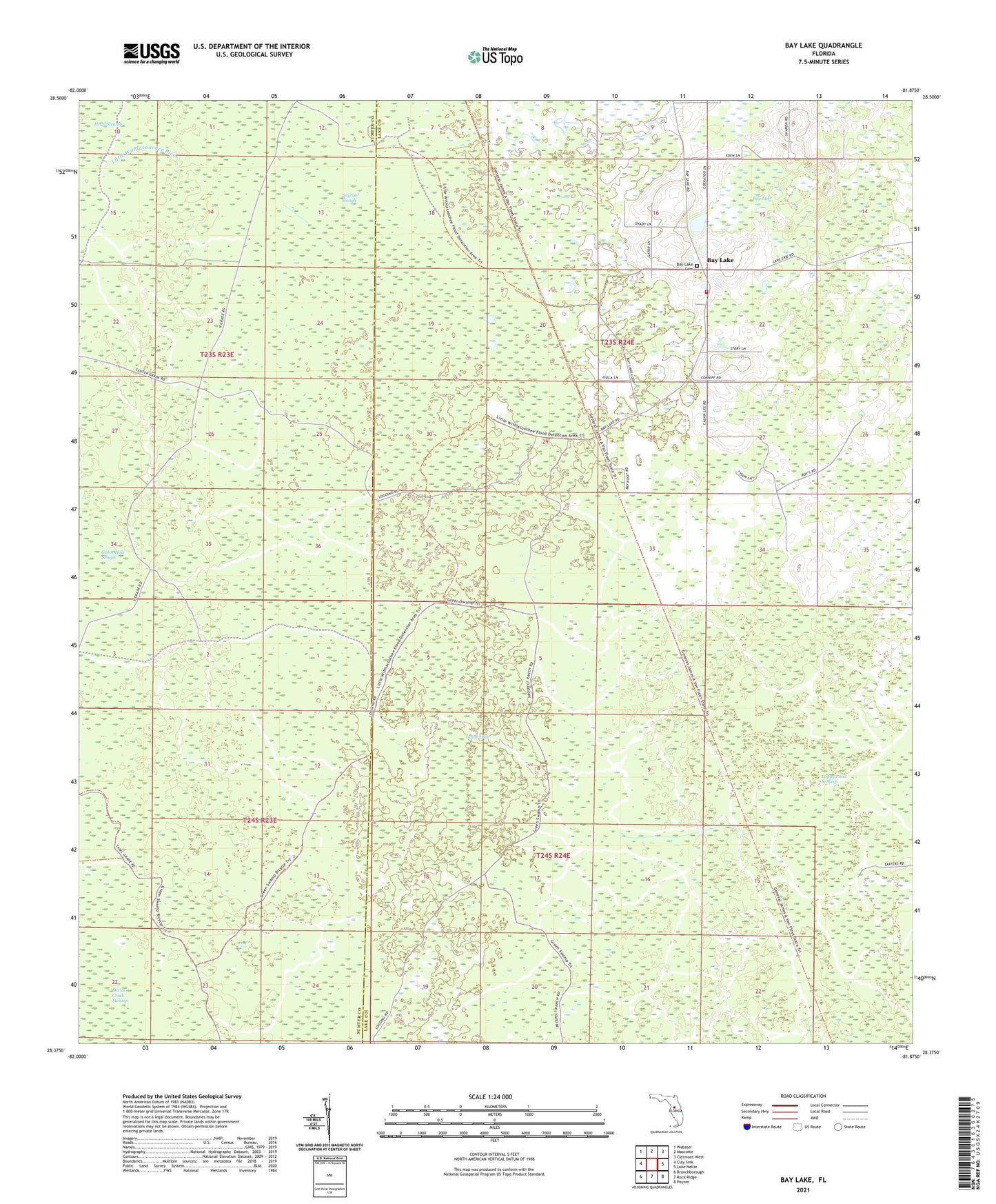
2024 topographic map quadrangle Bay Lake in the state of Florida. Scale: 1:24000. Based on the newly updated USGS 7.5' US Topo map series, this map is in the following counties: Lake, Sumter. The map contains contour data, water features, and other items you are used to seeing on USGS maps, but also has updated roads and other features. This is the next generation of topographic maps. Printed on high-quality waterproof paper with UV fade-resistant inks.
Quads adjacent to this one:
West: Clay Sink
Northwest: Webster
North: Mascotte
Northeast: Clermont West
East: Lake Nellie
Southeast: Poyner
South: Rock Ridge
Southwest: Branchborough
This map covers the same area as the classic USGS quad with code o28081d8.
Contains the following named places: Bay Lake, Bay Lake Church, Bayroot Slough, Gator Hole, General James A. Van Fleet Trail State Park, Lake County Fire Department Station 111