MyTopo
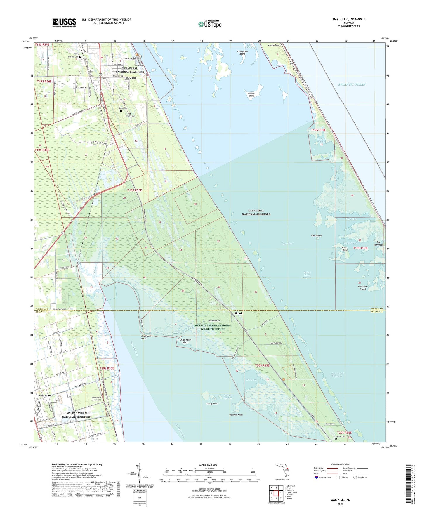
Oak Hill Florida US Topo Map
Couldn't load pickup availability
2024 topographic map quadrangle Oak Hill in the state of Florida. Scale: 1:24000. Based on the newly updated USGS 7.5' US Topo map series, this map is in the following counties: Volusia, Brevard. The map contains contour data, water features, and other items you are used to seeing on USGS maps, but also has updated roads and other features. This is the next generation of topographic maps. Printed on high-quality waterproof paper with UV fade-resistant inks.
Quads adjacent to this one:
West: Maytown
Northwest: Edgewater
North: Ariel
East: Pardon Island
Southeast: Wilson
South: Mims
Southwest: Aurantia
This map covers the same area as the classic USGS quad with code o28080g7.
Contains the following named places: Antelm Gay Grant, Apollo Beach, Beacon Camp, Bibleway Church of God in Christ, Big Flounder Creek, Bird Island, Boathouse Point, Bull Hill, Canaveral National Seashore, Cape Canaveral National Cemetery, Cat Hammock, Coot Creek, East Channel, First Baptist Church, Georges Flats, Georges Slough, Glory Hole, Grassy Point, Griffis Bay, H M Gomez Grant, Hole in the Wall, Joseph Delespine Grant, Kings Trailer Park, Kuhl Dock, Lucas Crayon Grant, Lyratta Dock, Macedonia Missionary Baptist Church, Middle Island, Mosquito Lagoon, Mosquito Lagoon Aquatic Preserve, Oak Hill, Oak Hill Association Mobile Home Park, Oak Hill Cemetery, Oak Hill Police Department, Oak Hill Post Office, Oak Hill Trailer Park, Onion Farm Island, Orange Blossom Trailer Park, Pablo Rosette Grant, Pattillo Creek, Plantation Island, Preachers Island, Saints Cemetery, Scottsmoor Census Designated Place, Shady Grove Church of God, Shiloh, Shiloh Camp, Sinners Cemetery, South Mobile Village, Tiger Shoal, Tradewinds Aerodrome, Turnbull Creek, Upper Room Chapel, Vanns Island, Vanns Slough, Volusia County Fire Services Station 22 Oak Hill, Volusia County Public Library System Oak Hill Public Library, W F Burns Oak Hill Elementary School, WGNE-FM (Titusville), William Garvin Grant


