MyTopo
Maytown Florida US Topo Map
Couldn't load pickup availability
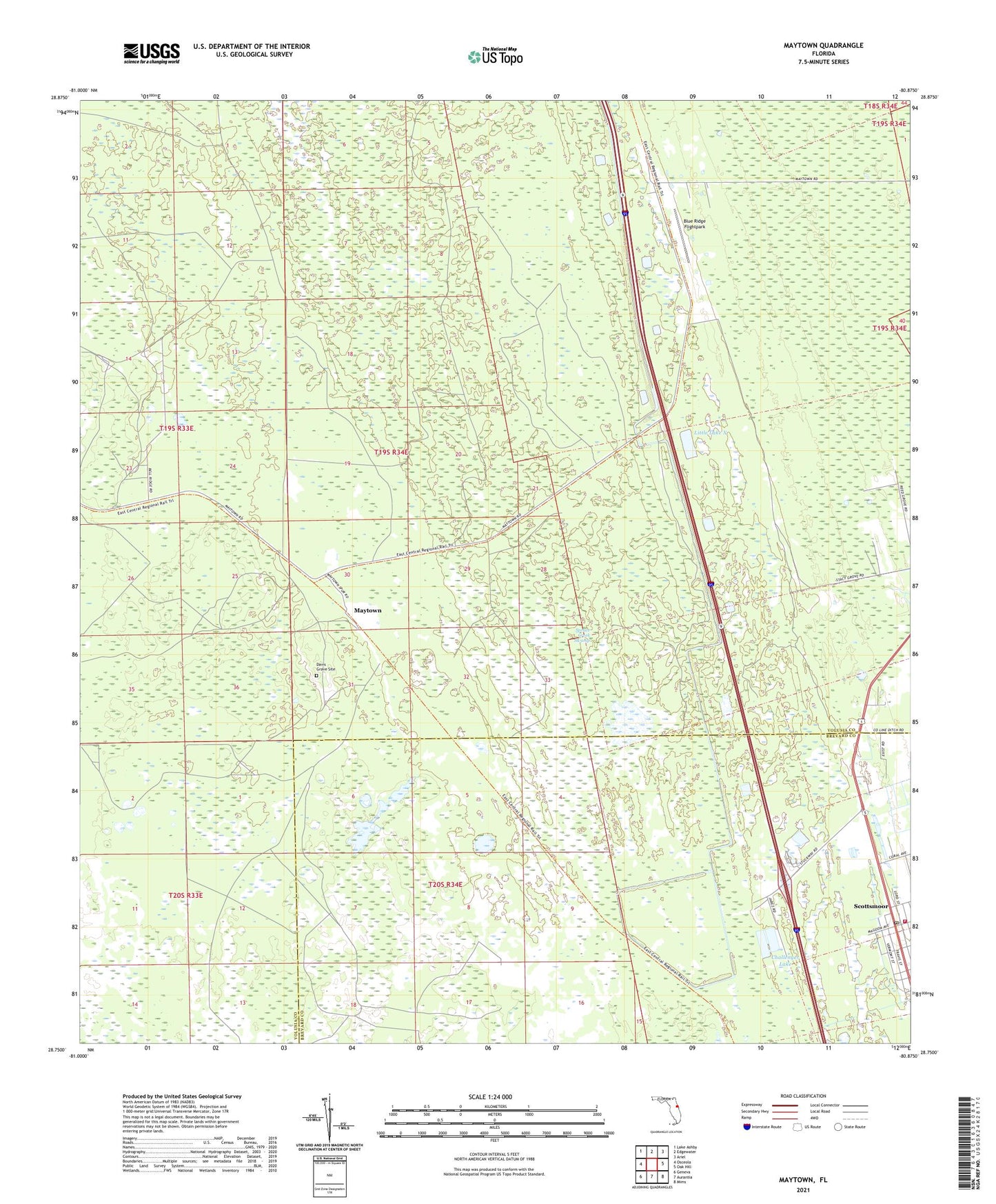
2024 topographic map quadrangle Maytown in the state of Florida. Scale: 1:24000. Based on the newly updated USGS 7.5' US Topo map series, this map is in the following counties: Volusia, Brevard. The map contains contour data, water features, and other items you are used to seeing on USGS maps, but also has updated roads and other features. This is the next generation of topographic maps. Printed on high-quality waterproof paper with UV fade-resistant inks.
Quads adjacent to this one:
West: Osceola
Northwest: Lake Ashby
North: Edgewater
Northeast: Ariel
East: Oak Hill
Southeast: Mims
South: Aurantia
Southwest: Geneva
This map covers the same area as the classic USGS quad with code o28080g8.
Contains the following named places: Blue Ridge Flightpark, Challenger Lake, Davis Grave Site, Farmton Wildlife Management Area, John H McIntosh Grant, John Low Grant, Little Lake X, Maytown, Peter Fouchard Grant, Scottsmoor, Scottsmoor Post Office, Scottsmoor Volunteer Fire Department Station 20, ZIP Code: 32759