MyTopo
Panama City Beach Florida US Topo Map
Couldn't load pickup availability
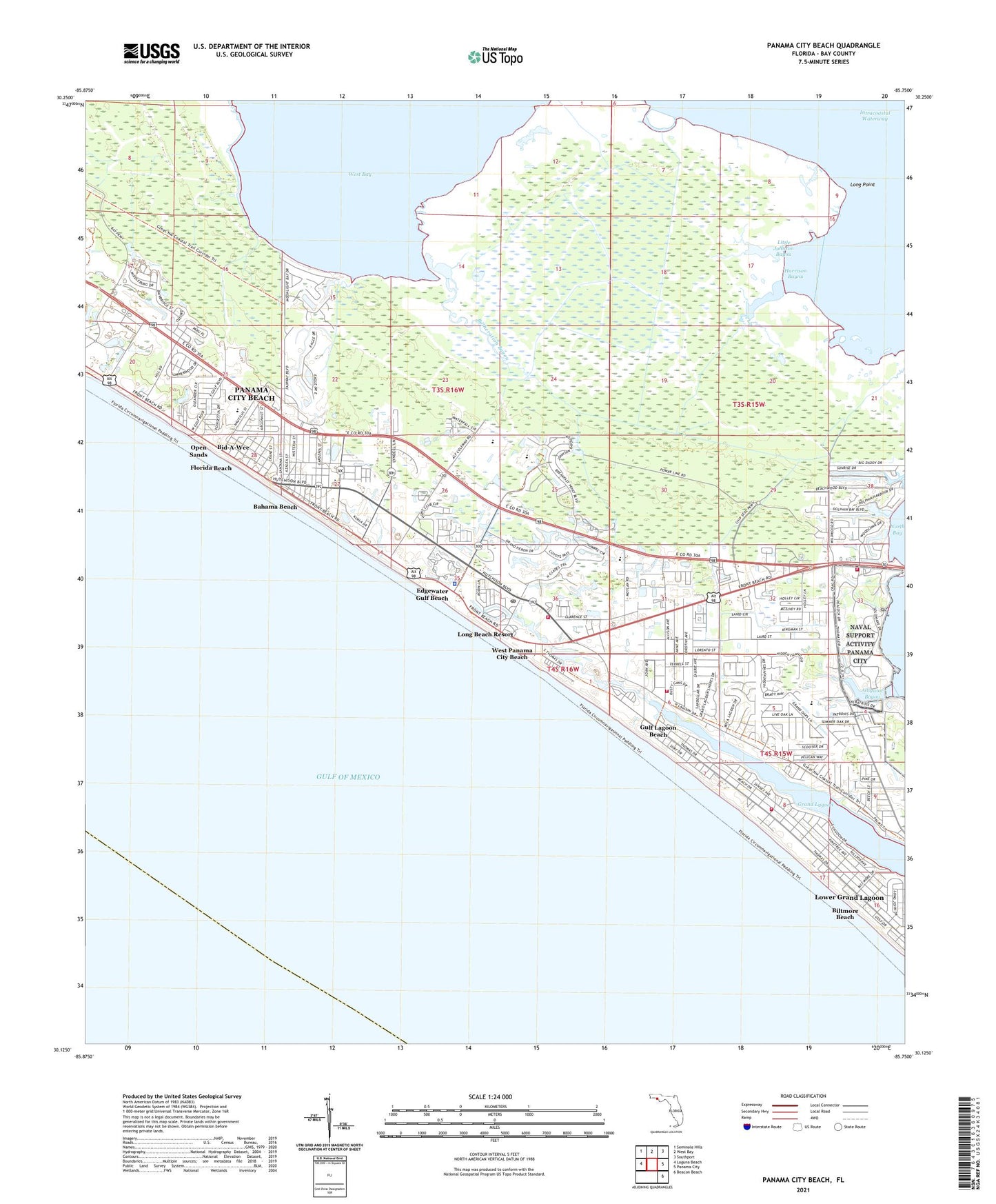
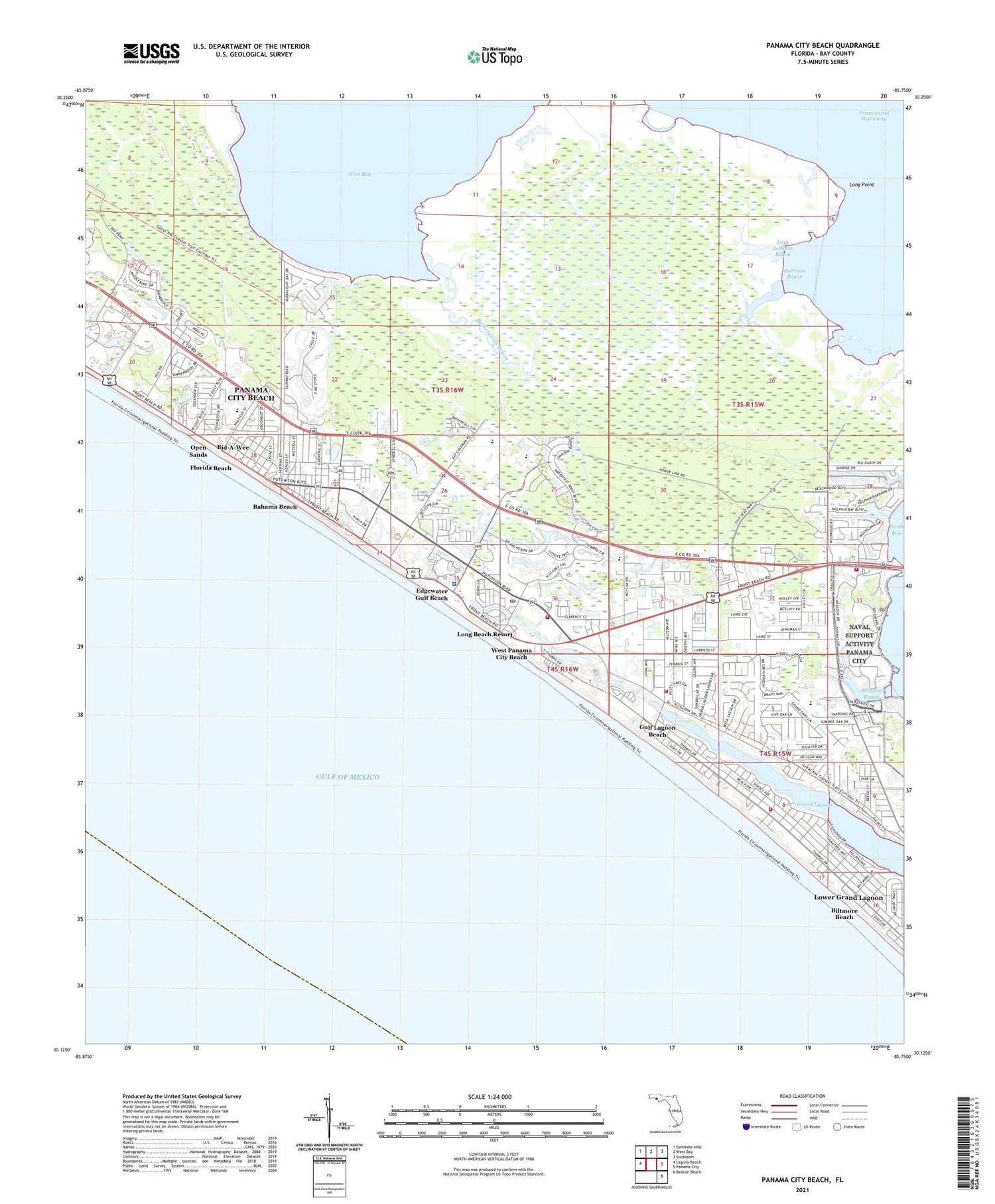
2025 topographic map quadrangle Panama City Beach in the state of Florida. Scale: 1:24000. Based on the newly updated USGS 7.5' US Topo map series, this map is in the following counties: Bay. The map contains contour data, water features, and other items you are used to seeing on USGS maps, but also has updated roads and other features. This is the next generation of topographic maps. Printed on high-quality waterproof paper with UV fade-resistant inks.
Quads adjacent to this one:
West: Laguna Beach
Northwest: Seminole Hills
North: West Bay
Northeast: Southport
East: Panama City
Southeast: Beacon Beach
This map covers the same area as the classic USGS quad with code o30085b7.
Contains the following named places: Alligator Bayou, Bahama Beach, Bay County Fire Rescue District 1 Station 2, Bay County Fire Rescue Station 3, Bid-A-Wee, Biltmore Beach, Botheration Bayou, Buchanan Stolport, Coast Guard Station Panama City, Coastal Helicopter Charter Incorporated Heliport, Coastal Systems Station Heliport, Edgewater Gulf Beach, Faith Christian Fellowship Church, First Assembly of God Church, Florida Beach, Gulf Beach Baptist Church, Gulf Lagoon Beach, Gulf Presbyterian Church, Harrison Bayou, Holiday Plaza, International Helicopters Heliport, Kingdom Hall of Jehovahs Witnesses, Little Johnson Bayou, Long Beach Church, Long Beach Resort, Long Point, Lower Grand Lagoon, Lower Grand Lagoon Census Designated Place, Naval Coastal Fire Department, Open Sands, Panama City Beach, Panama City Beach Fire Rescue Station 2, Panama City Beach Police Department Substation, Panama City Beach Post Office, Panama City Beach Shopping Center, Regency Mall, Saint Bernadette Catholic Church, Saint Thomas by the Sea Episcopal Church, Section Base Channel Range Front Light, Victory Tabernacle Assembly of God, Wayside Shopping Center, West Panama City Beach, WILN-FM (Panama City), WKGC-AM (Panama City Beach), WKGC-FM (Panama City), WPCF-AM (Panama City Beach), WPCF-FM (Panama City Beach), Yellow Whirley Bird Heliport, ZIP Code: 32407


