MyTopo
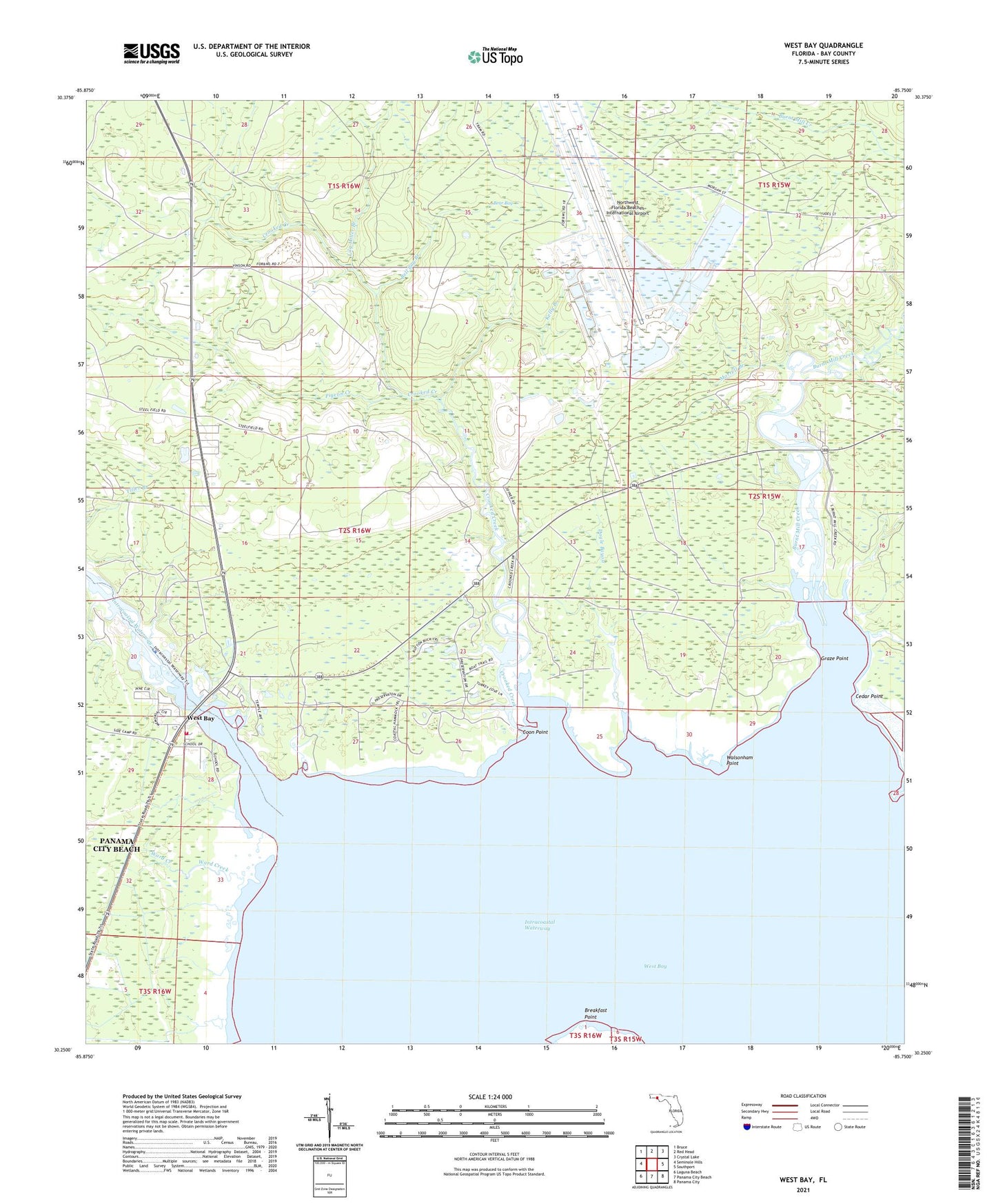
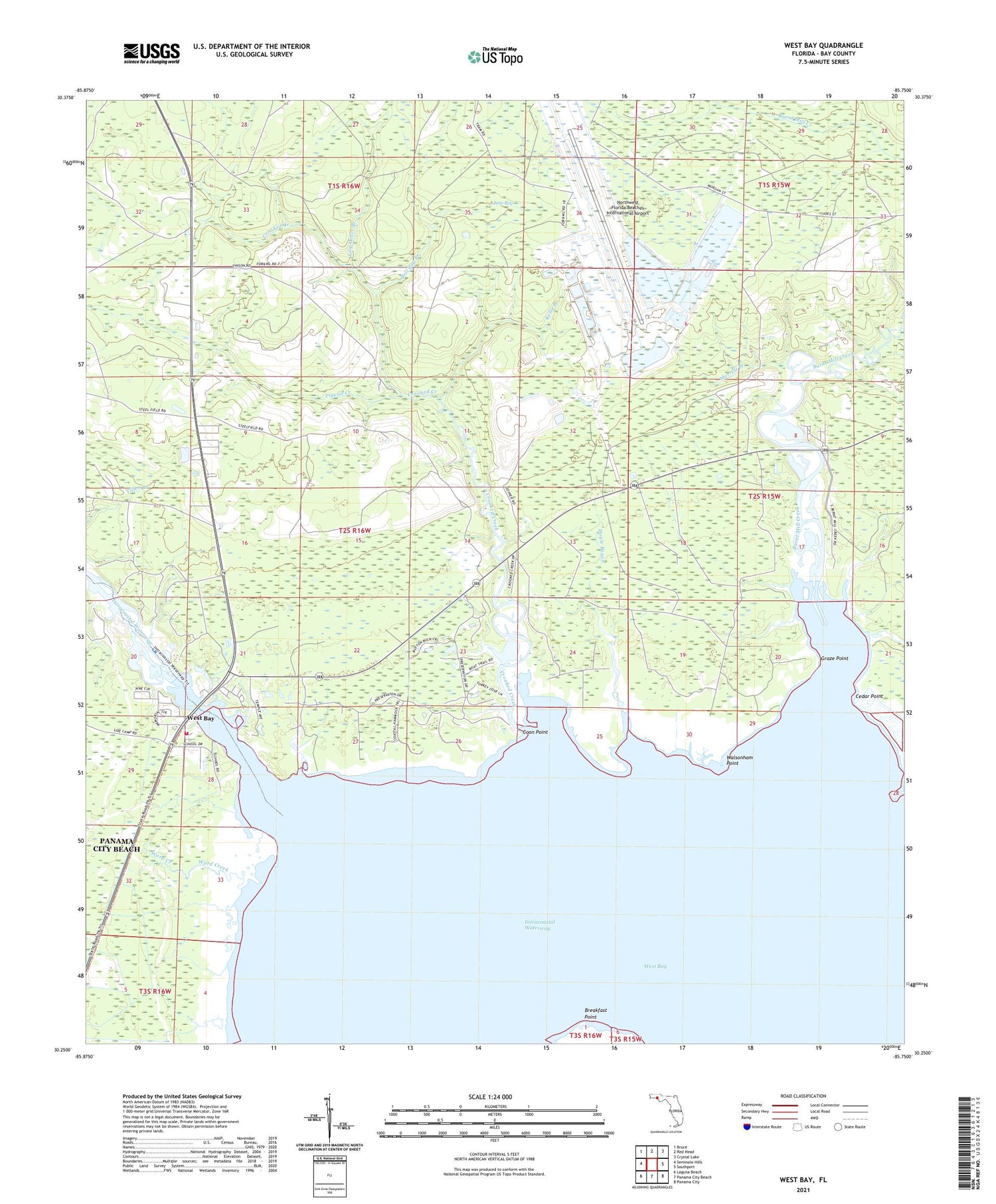
West Bay Florida US Topo Map
Couldn't load pickup availability
2024 topographic map quadrangle West Bay in the state of Florida. Scale: 1:24000. Based on the newly updated USGS 7.5' US Topo map series, this map is in the following counties: Bay. The map contains contour data, water features, and other items you are used to seeing on USGS maps, but also has updated roads and other features. This is the next generation of topographic maps. Printed on high-quality waterproof paper with UV fade-resistant inks.
Quads adjacent to this one:
West: Seminole Hills
Northwest: Bruce
North: Red Head
Northeast: Crystal Lake
East: Southport
Southeast: Panama City
South: Panama City Beach
Southwest: Laguna Beach
This map covers the same area as the classic USGS quad with code o30085c7.
Contains the following named places: Beachwalk Center, Bear Bay, Bell Bay Branch, Breakfast Point, Burnt Mill Creek, Cedar Point, Coon Point, Crooked Creek, Doyle Bayou, Graze Point, Kelly Branch, Lily Miller Branch, Morrell Branch, Northwest Florida Beaches International Airport, Pigeon Creek, Southport Division, Walsonham Point, Ward Creek, West Bay, West Bay Elementary School, West Bay Woodville Fire Department