MyTopo
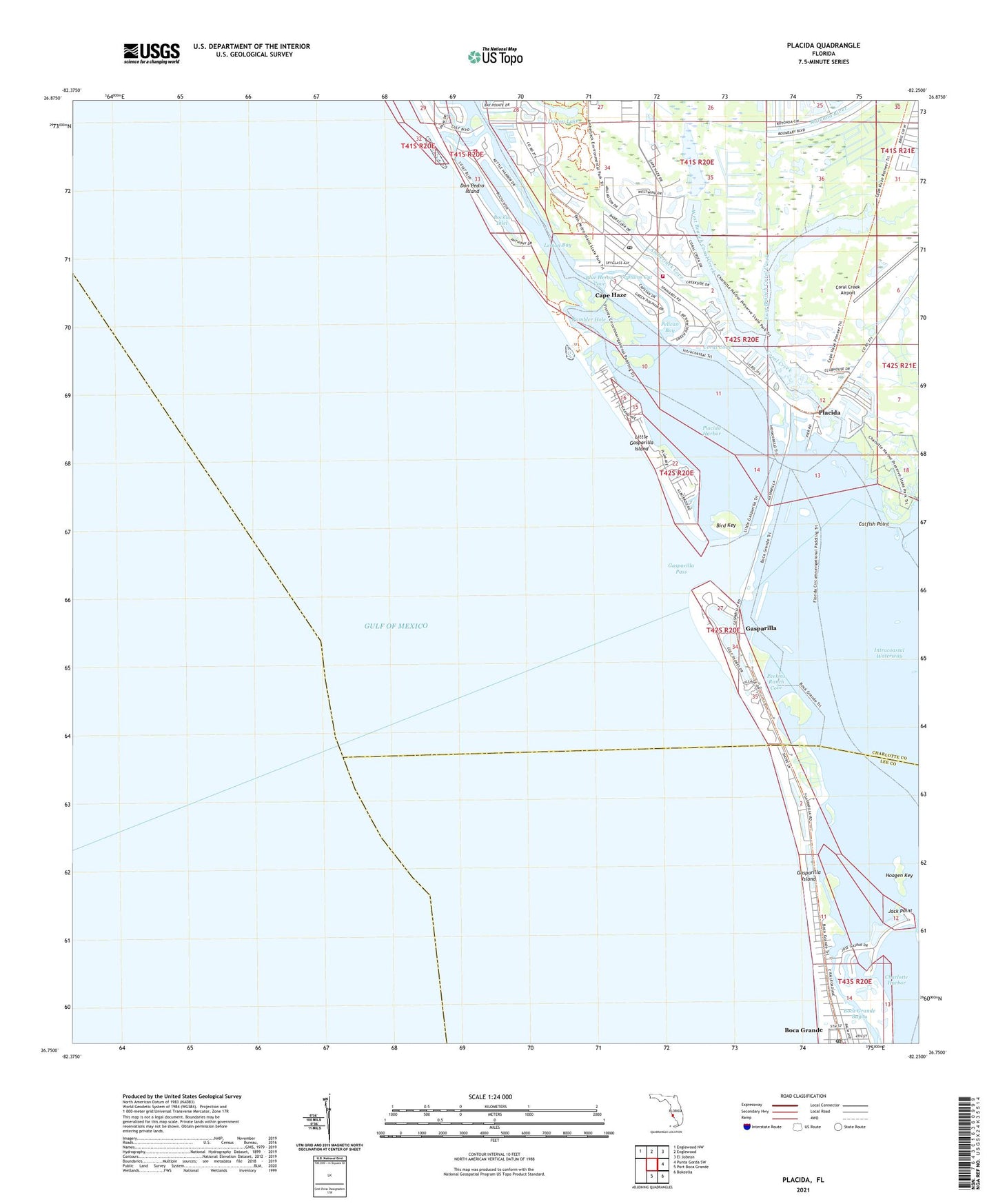
Placida Florida US Topo Map
Couldn't load pickup availability
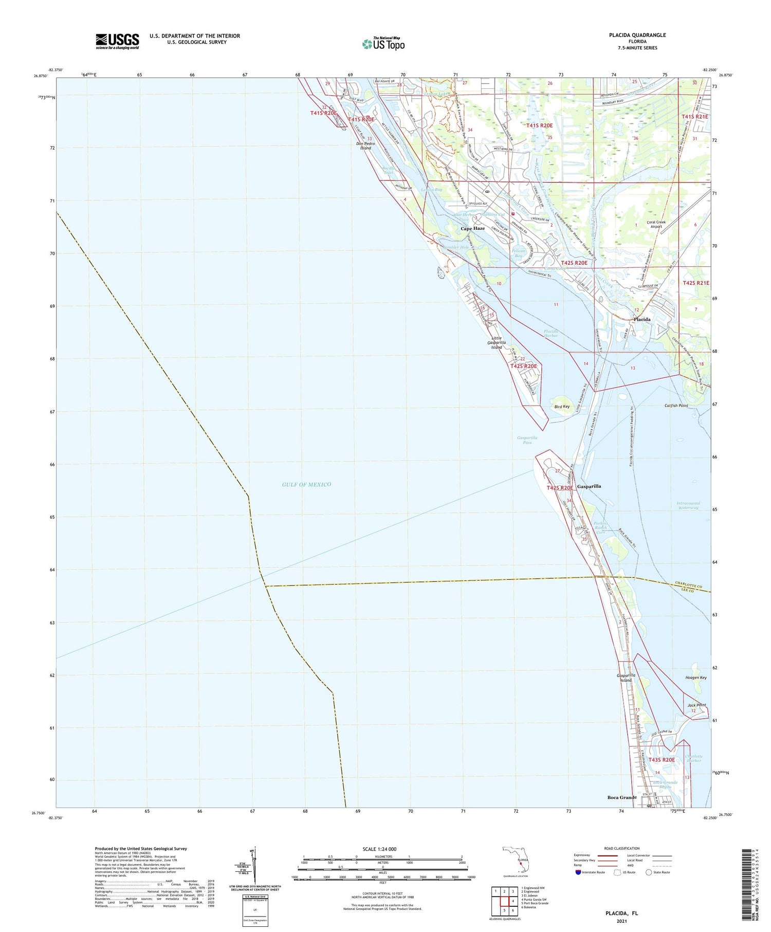
2025 topographic map quadrangle Placida in the state of Florida. Scale: 1:24000. Based on the newly updated USGS 7.5' US Topo map series, this map is in the following counties: Charlotte, Lee. The map contains contour data, water features, and other items you are used to seeing on USGS maps, but also has updated roads and other features. This is the next generation of topographic maps. Printed on high-quality waterproof paper with UV fade-resistant inks.
Quads adjacent to this one:
Northwest: Englewood NW
North: Englewood
Northeast: El Jobean
East: Punta Gorda SW
Southeast: Bokeelia
South: Port Boca Grande
This map covers the same area as the classic USGS quad with code o26082g3.
Contains the following named places: Amberjack Cove, Bird Key, Blue Heron Cove, Boca Grande Bayou, Boca Grande Post Office, Bocilla Inlet, Cape Haze, Captains Cut, Catfish Point, Charlotte County Fire / EMS Station 14, Coral Cove, Coral Creek, Coral Creek Airport, Don Pedro Island, Don Pedro Island State Park, East Branch Coral Creek, Englewood Area Fire Control District Station 76, Galleon Cove, Gasparilla, Gasparilla Island, Gasparilla Island Fire and Rescue, Gasparilla Pass, Gasparilla Sound, Grove City-Rotonda Division, Hoagen Key, Jack Point, Lemon Lake, Little Gasparilla Island, Little Gasparilla Pass, Peekins Ranch Cove, Pelican Bay, Placida, Placida Harbor, Placida Post Office, Rambler Hole, Rotunda-West, West Branch Coral Creek, WSEB-FM (Englewood), ZIP Codes: 33921, 33946


