MyTopo
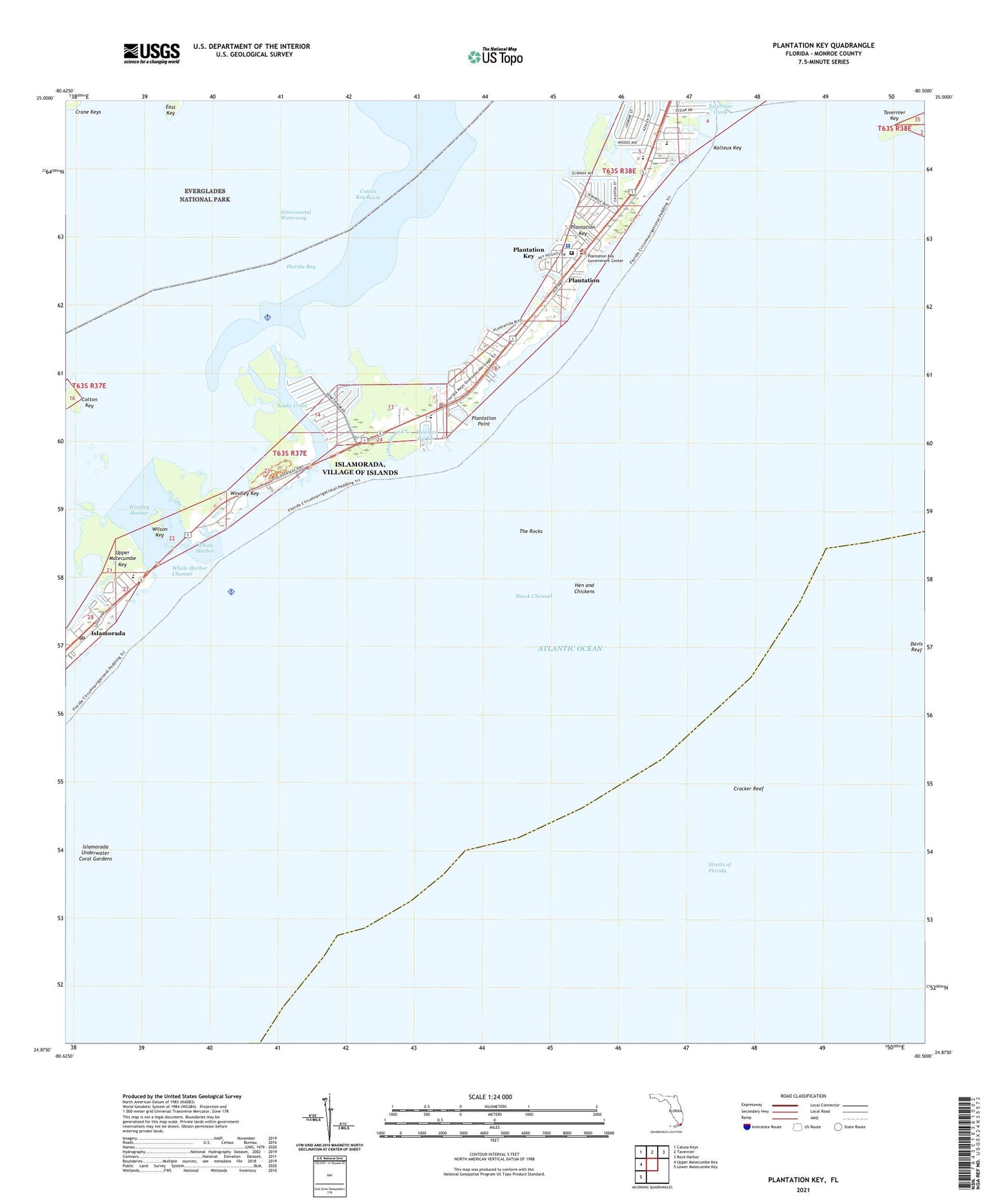
Plantation Key Florida US Topo Map
Couldn't load pickup availability
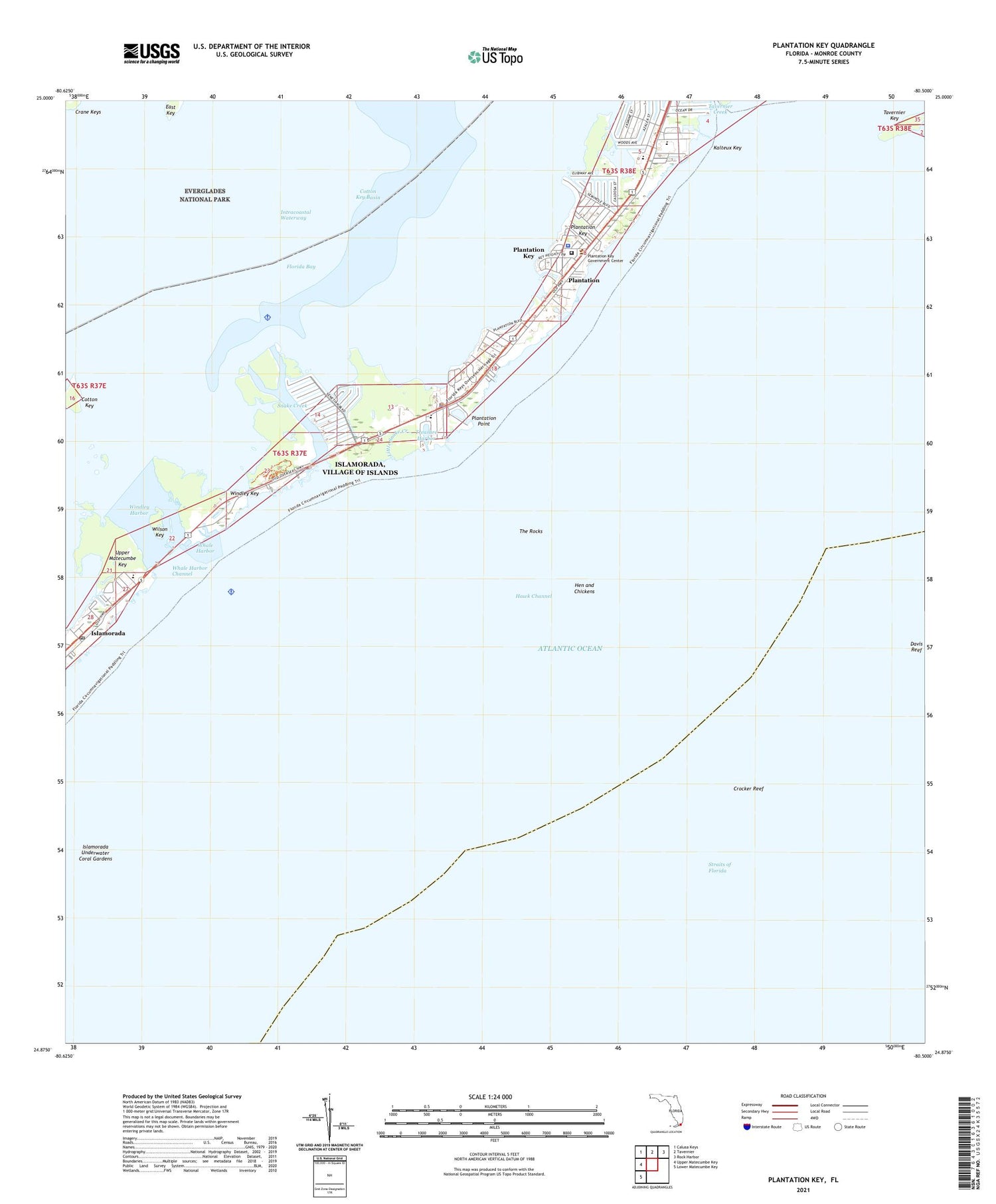
2024 topographic map quadrangle Plantation Key in the state of Florida. Scale: 1:24000. Based on the newly updated USGS 7.5' US Topo map series, this map is in the following counties: Monroe. The map contains contour data, water features, and other items you are used to seeing on USGS maps, but also has updated roads and other features. This is the next generation of topographic maps. Printed on high-quality waterproof paper with UV fade-resistant inks.
Quads adjacent to this one:
West: Upper Matecumbe Key
Northwest: Calusa Keys
North: Tavernier
Northeast: Rock Harbor
Southwest: Lower Matecumbe Key
This map covers the same area as the classic USGS quad with code o24080h5.
Contains the following named places: Beacon Reef Pier Light, Coral Isles Church, Coral Shores High School, Cotton Key, Cotton Key Basin, Cowpens Anchorage, Crocker Reef, Crocker Reef Buoy 16, Davis Reef, Davis Reef Light 14, East Key, Hen and Chickens, Holiday Isle Seaplane Base, Immanuel Church, Islamadora Post Office, Islamorada Fire Rescue Department Station 21, Islamorada Underwater Coral Gardens, Island Christian School, Island Community Church, Kalteux Key, Little Snake Creek, Mariners Hospital Medical Emergency Heliport, Monroe County Sheriff's Office Islamorada Substation, Monroe County Sheriff's Office Roth Building Substation, Monroe County Sheriff's Office Spottswood Substation, Plantation, Plantation Key, Plantation Key Colony, Plantation Key School, Plantation Key Seaplane Base, Plantation Point, Saint Adrians Church, San Pedro Church, Seabreeze Trailer Park, Snake Creek, Tavernier Key, The Rocks, Treasure Harbor, Village of Islamorada Village of Islands, WCTH-FM (Plantation Key), Whale Harbor, Whale Harbor Channel, Wilson Key, Windley Harbor, Windley Key


