MyTopo
Lower Matecumbe Key Florida US Topo Map
Couldn't load pickup availability
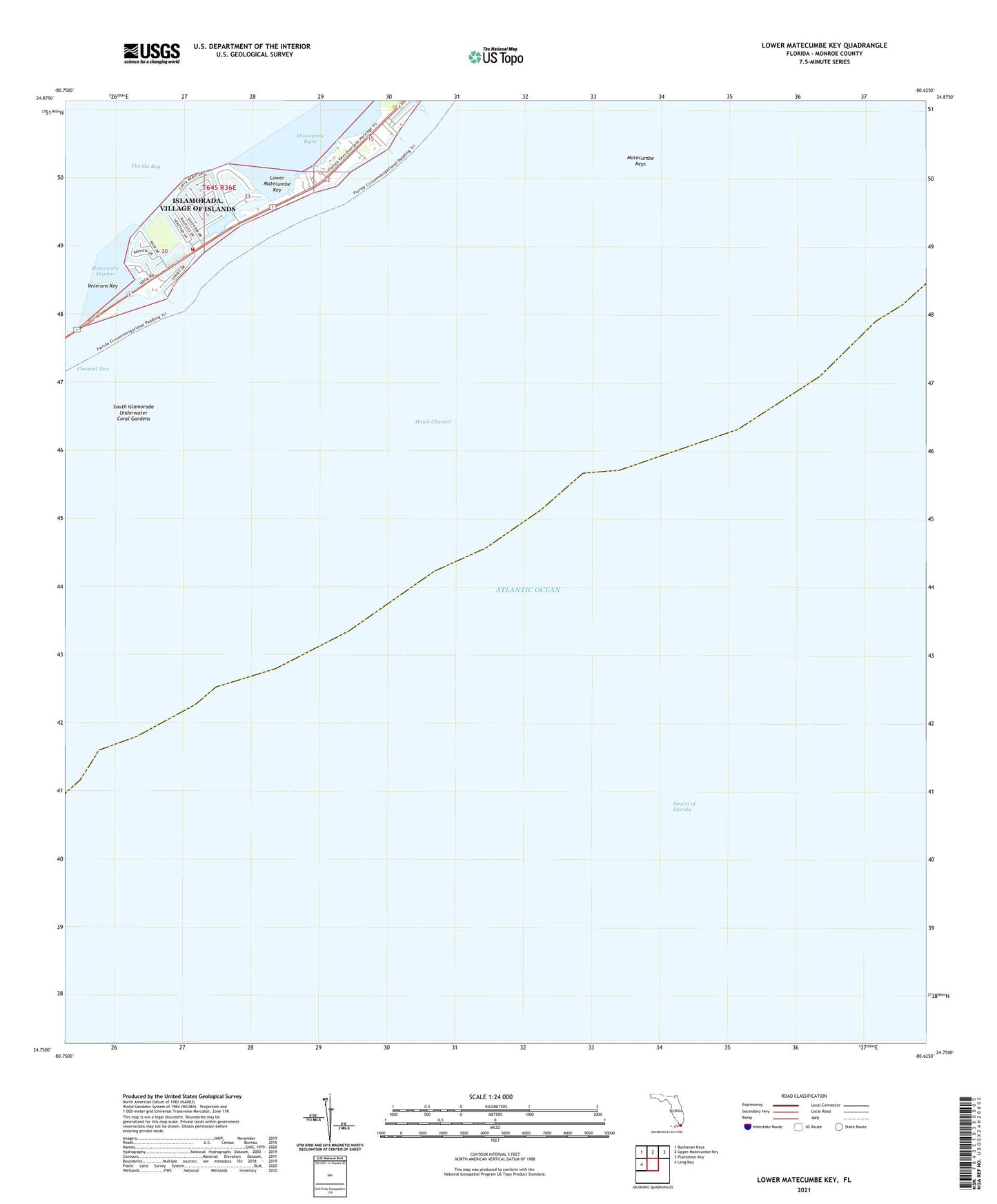
2024 topographic map quadrangle Lower Matecumbe Key in the state of Florida. Scale: 1:24000. Based on the newly updated USGS 7.5' US Topo map series, this map is in the following counties: Monroe. The map contains contour data, water features, and other items you are used to seeing on USGS maps, but also has updated roads and other features. This is the next generation of topographic maps. Printed on high-quality waterproof paper with UV fade-resistant inks.
Quads adjacent to this one:
West: Long Key
Northwest: Buchanan Keys
North: Upper Matecumbe Key
Northeast: Plantation Key
This map covers the same area as the classic USGS quad with code o24080g6.
Contains the following named places: Indian Key Anchorage, Islamorada Fire Department Station 19, Lower Matecumbe Beach, Lower Matecumbe Key, Matecumbe Bight, Matecumbe Harbor, Matecumbe Keys, San Pedro Catholic Church, San Pedro State Underwater Archaelogical Preserve State Park, South Islamorada Underwater Coral Gardens, Veterans Key