MyTopo
Thompson Pine Island Florida US Topo Map
Couldn't load pickup availability
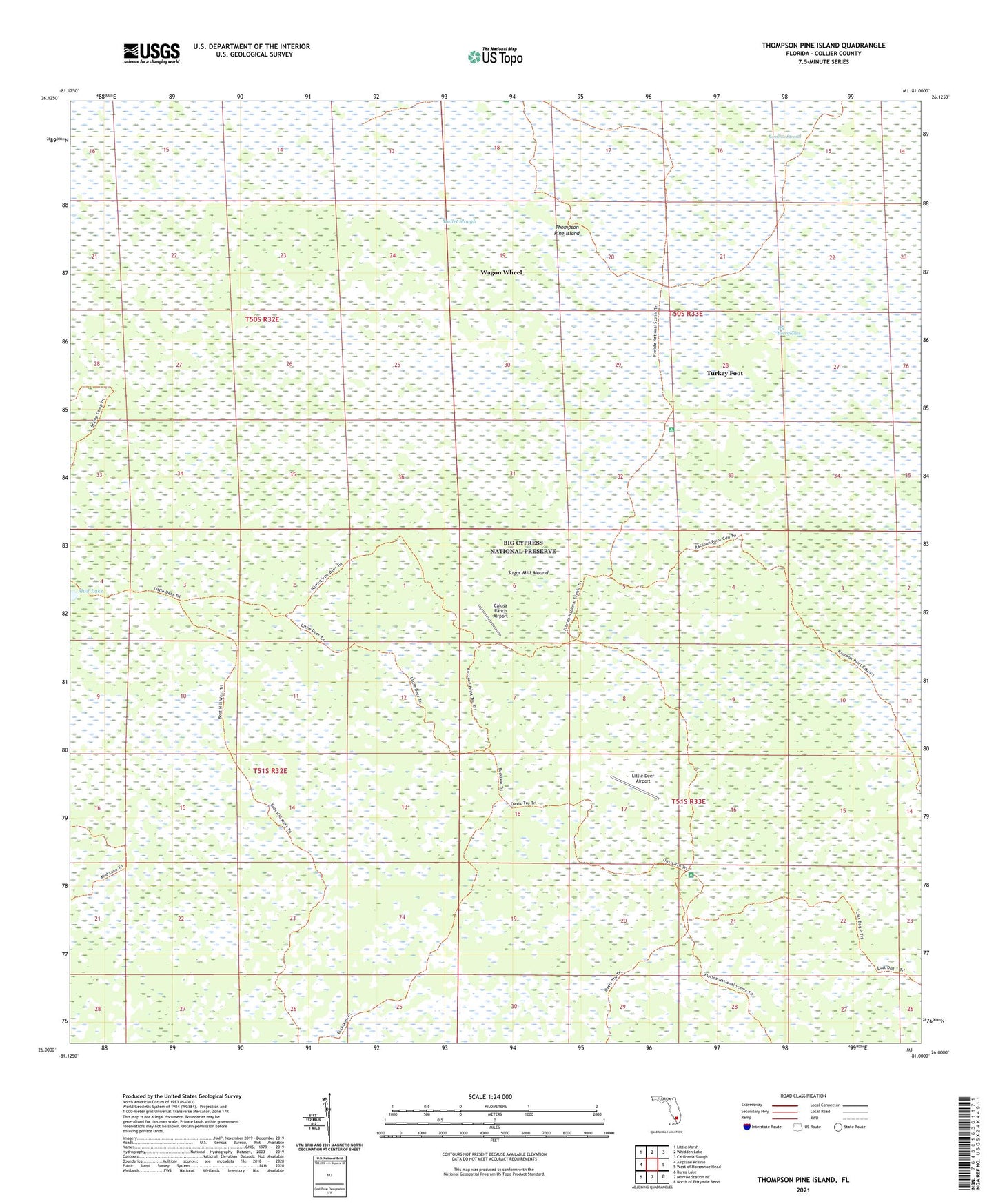
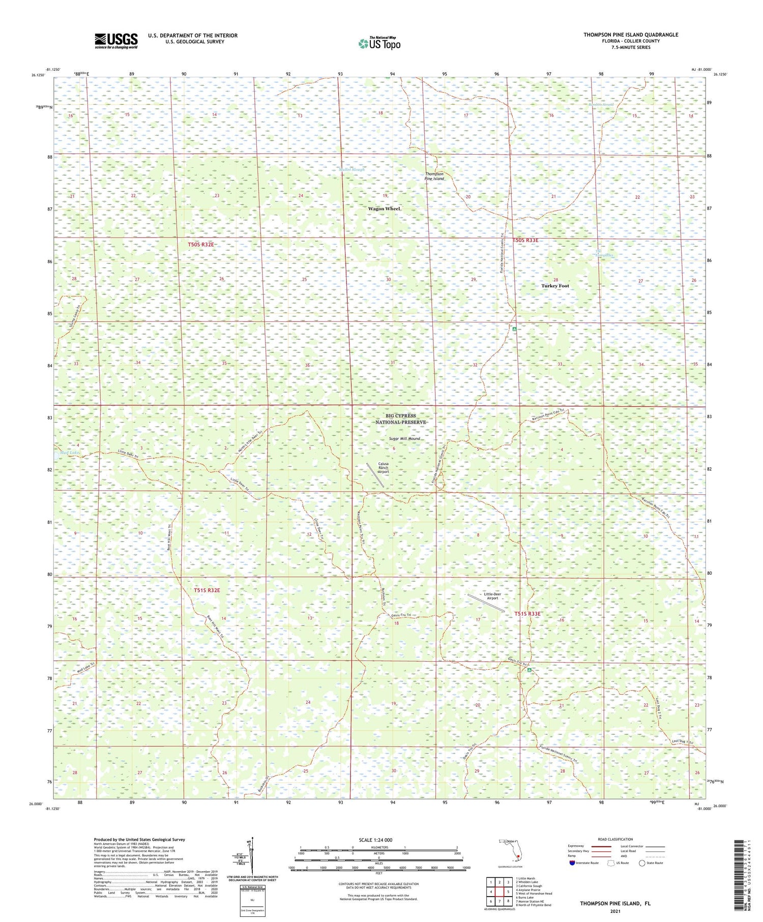
2024 topographic map quadrangle Thompson Pine Island in the state of Florida. Scale: 1:24000. Based on the newly updated USGS 7.5' US Topo map series, this map is in the following counties: Collier. The map contains contour data, water features, and other items you are used to seeing on USGS maps, but also has updated roads and other features. This is the next generation of topographic maps. Printed on high-quality waterproof paper with UV fade-resistant inks.
Quads adjacent to this one:
West: Airplane Prairie
Northwest: Little Marsh
North: Whidden Lake
Northeast: California Slough
East: West of Horseshoe Head
Southeast: North of Fiftymile Bend
South: Monroe Station NE
Southwest: Burns Lake
This map covers the same area as the classic USGS quad with code o26081a1.
Contains the following named places: Calusa Ranch Airport, Little Deer Airport, Mud Lake, Osceolas Camp, Sugar Mill Mound, Thompson Pine Island, Turkey Foot, Wagon Wheel