MyTopo
Little Marsh Florida US Topo Map
Couldn't load pickup availability
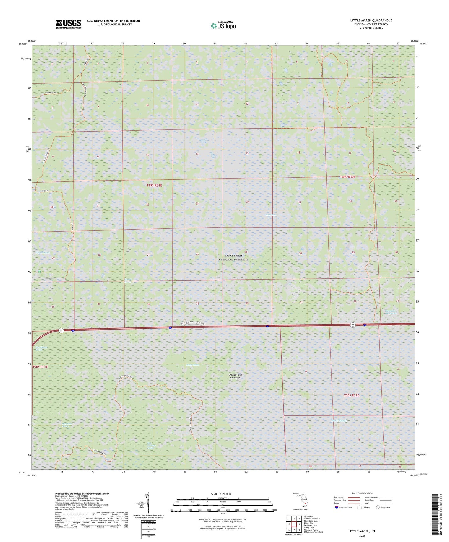
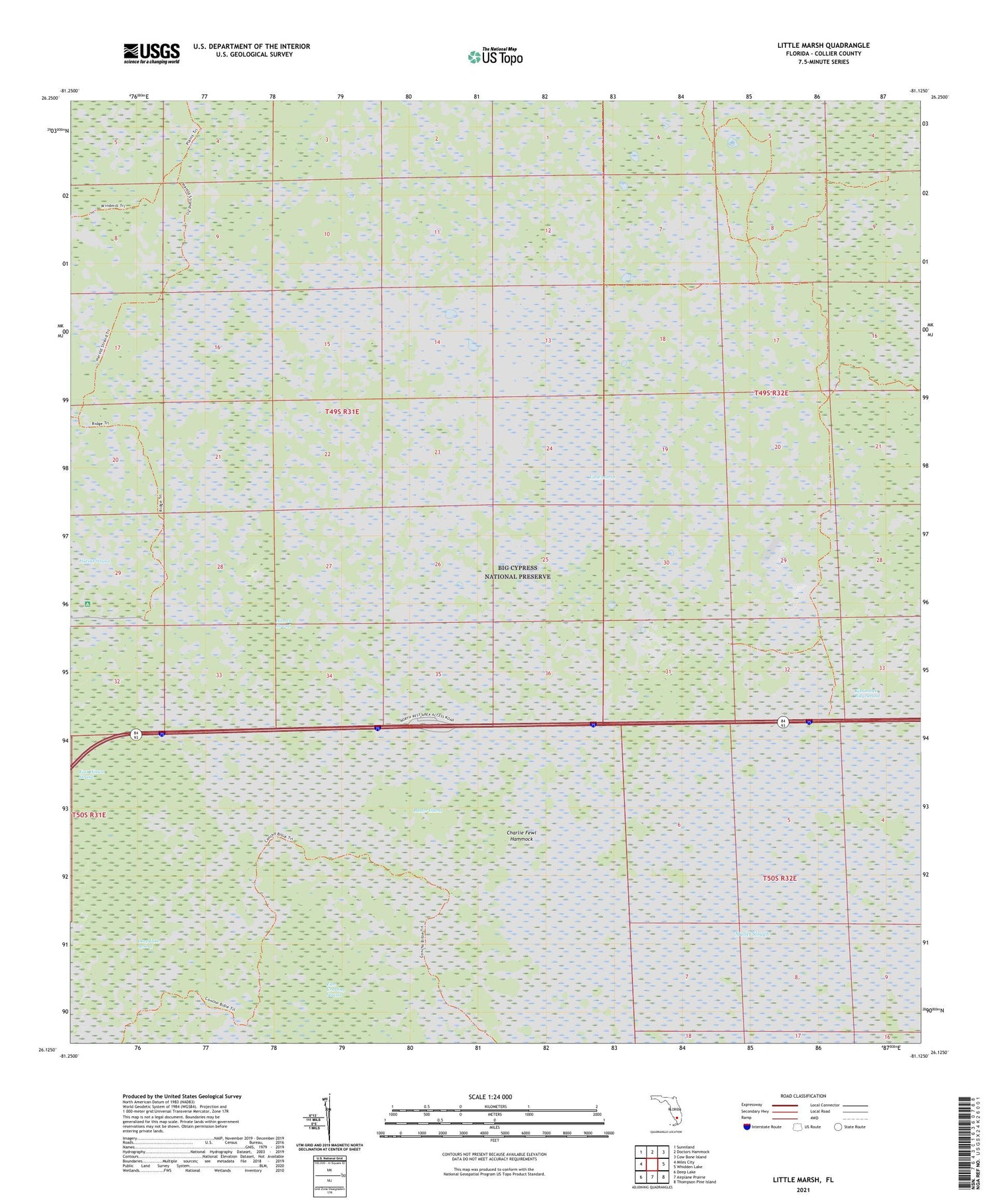
2024 topographic map quadrangle Little Marsh in the state of Florida. Scale: 1:24000. Based on the newly updated USGS 7.5' US Topo map series, this map is in the following counties: Collier. The map contains contour data, water features, and other items you are used to seeing on USGS maps, but also has updated roads and other features. This is the next generation of topographic maps. Printed on high-quality waterproof paper with UV fade-resistant inks.
Quads adjacent to this one:
West: Miles City
Northwest: Sunniland
North: Doctors Hammock
Northeast: Cow Bone Island
East: Whidden Lake
Southeast: Thompson Pine Island
South: Airplane Prairie
Southwest: Deep Lake
This map covers the same area as the classic USGS quad with code o26081b2.
Contains the following named places: Baxter Island, Charlie Billie Camp, Charlie Cypress Camp, Charlie Fewl Hammock, East Crossing Strand, East Hinson Strand, East Naples United Methodist Church, Harrell Strand, Little Marsh, Pole Pen Camp