MyTopo
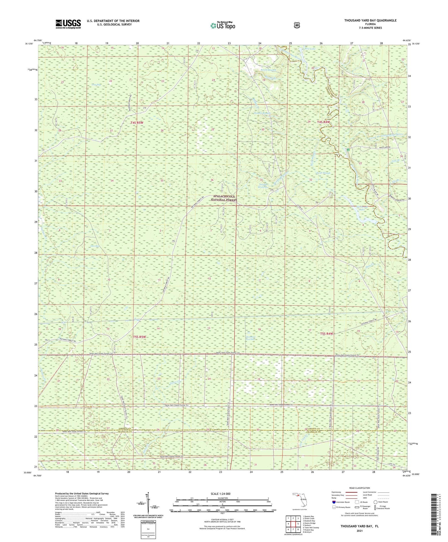
Thousand Yard Bay Florida US Topo Map
Couldn't load pickup availability
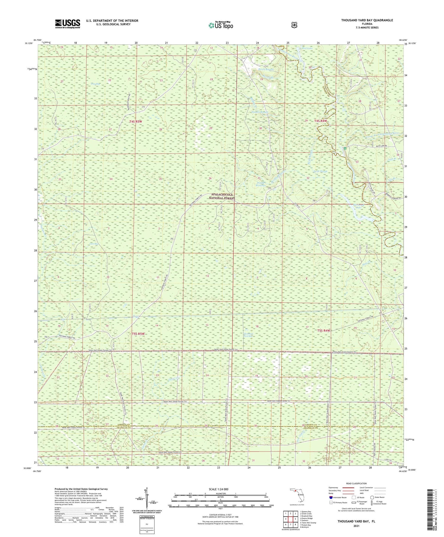
Also explore the Thousand Yard Bay Forest Service Topo of this same quad for updated USFS data
2024 topographic map quadrangle Thousand Yard Bay in the state of Florida. Scale: 1:24000. Based on the newly updated USGS 7.5' US Topo map series, this map is in the following counties: Liberty, Franklin, Wakulla. The map contains contour data, water features, and other items you are used to seeing on USGS maps, but also has updated roads and other features. This is the next generation of topographic maps. Printed on high-quality waterproof paper with UV fade-resistant inks.
Quads adjacent to this one:
West: Owens Bridge
Northwest: Queens Bay
North: Smith Creek
Northeast: Bradwell Bay
East: Sanborn
Southeast: McIntyre
South: Pickett Bay
Southwest: Tates Hell Swamp
This map covers the same area as the classic USGS quad with code o30084a6.
Contains the following named places: Arbor Bush Branch, Double Branches, Gum Bay, Hitchcock Lake, Hitchcock Lake Campground, Hodges Branch, Long Bay, Mack Landing Campground, McMillan Lake, Pine Log Creek, Red Lake, Revell Branch, Roberts Landing, Swift Slough, Thousand Yard Bay, Vause Branch Ochlockonee River