
MyTopo
Queens Bay Florida US Topo Map
Couldn't load pickup availability
Also explore the Queens Bay Forest Service Topo of this same quad for updated USFS data
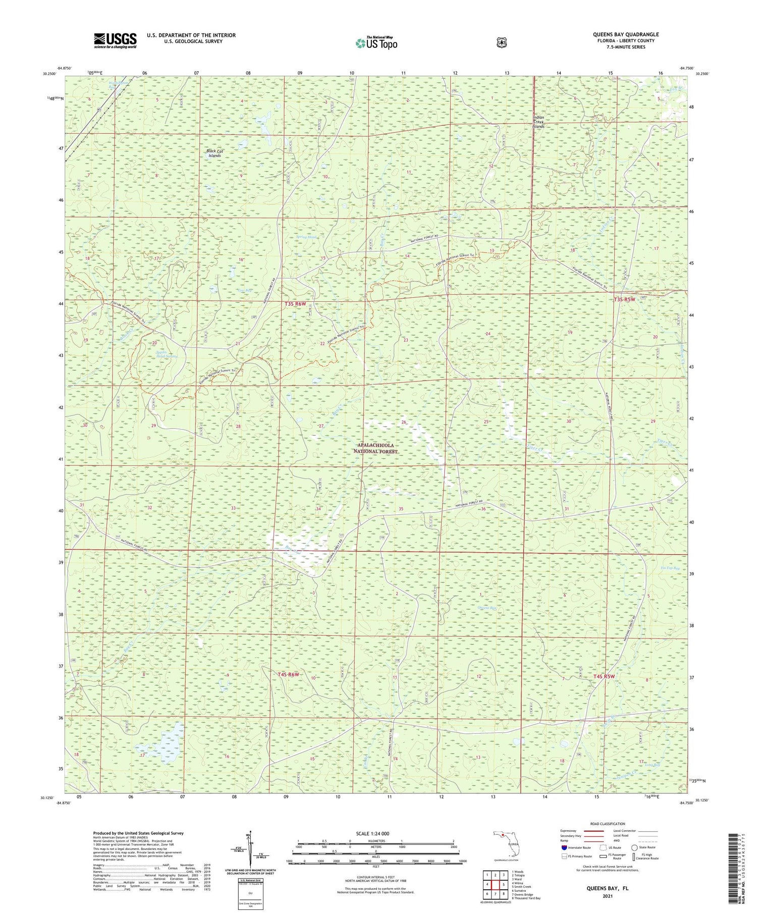
2024 topographic map quadrangle Queens Bay in the state of Florida. Scale: 1:24000. Based on the newly updated USGS 7.5' US Topo map series, this map is in the following counties: Liberty. The map contains contour data, water features, and other items you are used to seeing on USGS maps, but also has updated roads and other features. This is the next generation of topographic maps. Printed on high-quality waterproof paper with UV fade-resistant inks.
Quads adjacent to this one:
West: Wilma
Northwest: Woods
North: Telogia
Northeast: Ward
East: Smith Creek
Southeast: Thousand Yard Bay
South: Owens Bridge
Southwest: Sumatra
This map covers the same area as the classic USGS quad with code o30084b7.
Contains the following named places: Black Cat Islands, East Liberty Division, Indian Creek Islands, Low Bay, Queens Bay, Saplin Head Swamp, Spring Head, Swift Branch


