MyTopo
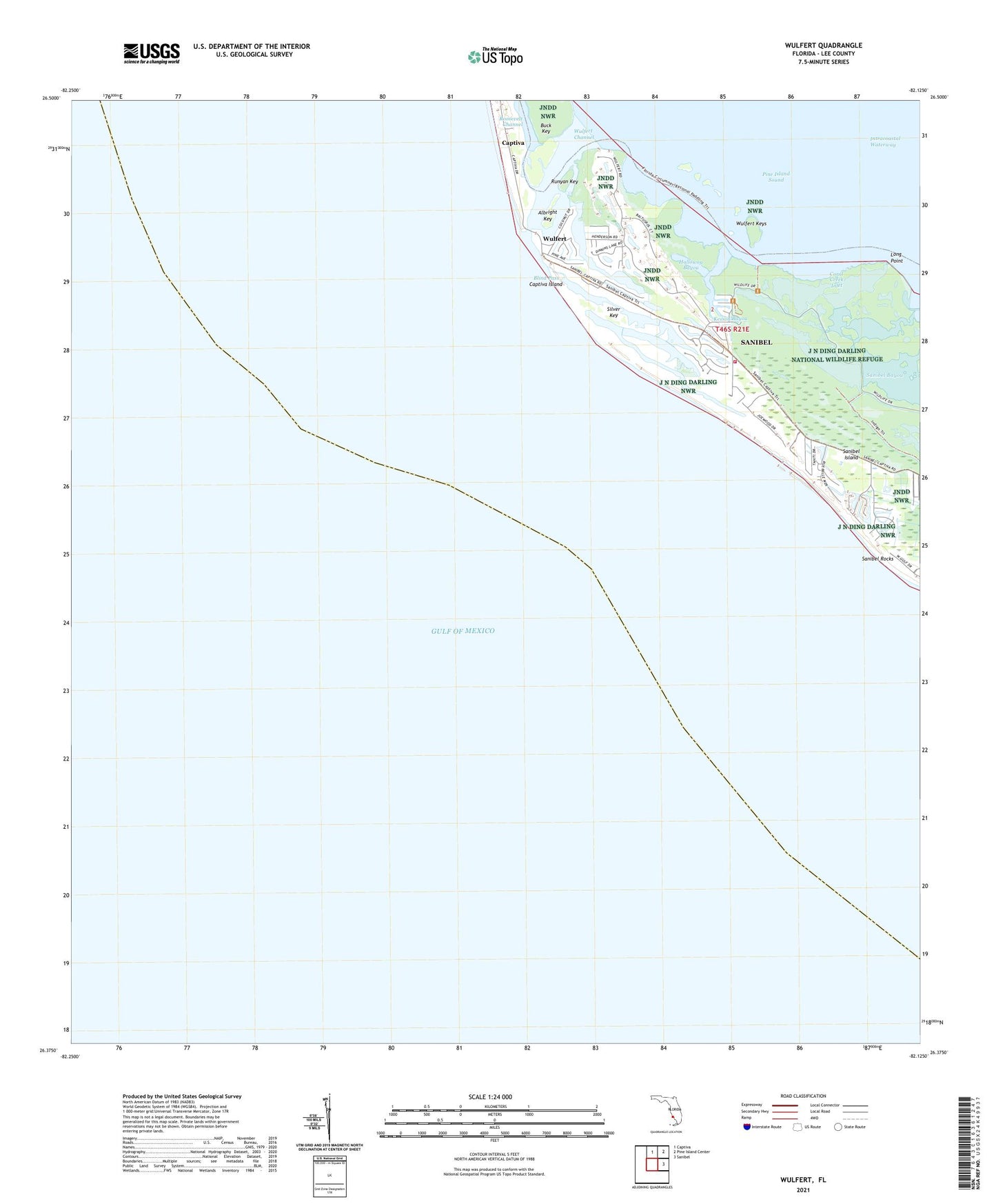
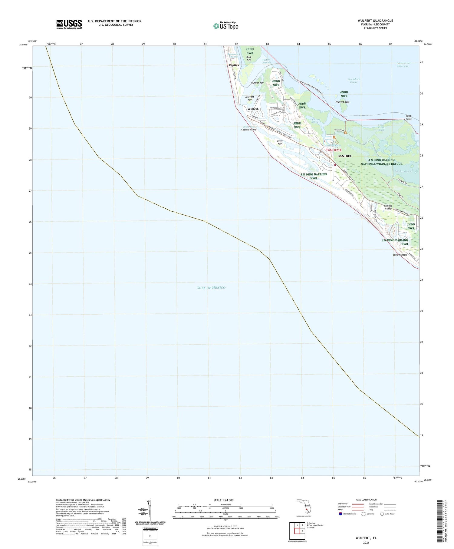
Wulfert Florida US Topo Map
Couldn't load pickup availability
2025 topographic map quadrangle Wulfert in the state of Florida. Scale: 1:24000. Based on the newly updated USGS 7.5' US Topo map series, this map is in the following counties: Lee. The map contains contour data, water features, and other items you are used to seeing on USGS maps, but also has updated roads and other features. This is the next generation of topographic maps. Printed on high-quality waterproof paper with UV fade-resistant inks.
Quads adjacent to this one:
North: Captiva
Northeast: Pine Island Center
East: Sanibel
This map covers the same area as the classic USGS quad with code o26082d2.
Contains the following named places: Albright Key, Blind Pass, Bowmans Beach Helistop, Captiva Census Designated Place, Clam Bayou, Coral Creek Inlet, Dinken Bayou, Golden Gate Shopping Center, Halloway Bayou, Hardworking Bayou, Kesson Bayou, Long Point, Old Blind Pass, Runyan Key, Sanibel Fire and Rescue District Station 2, Sanibel Rocks, Santa Barbara Square Shopping Center, Silver Key, Wulfert, Wulfert Channel, Wulfert Keys