MyTopo
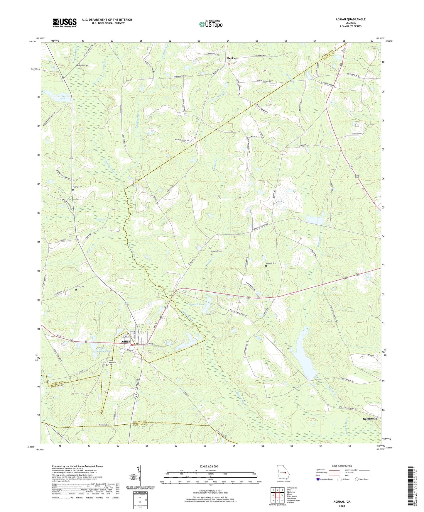
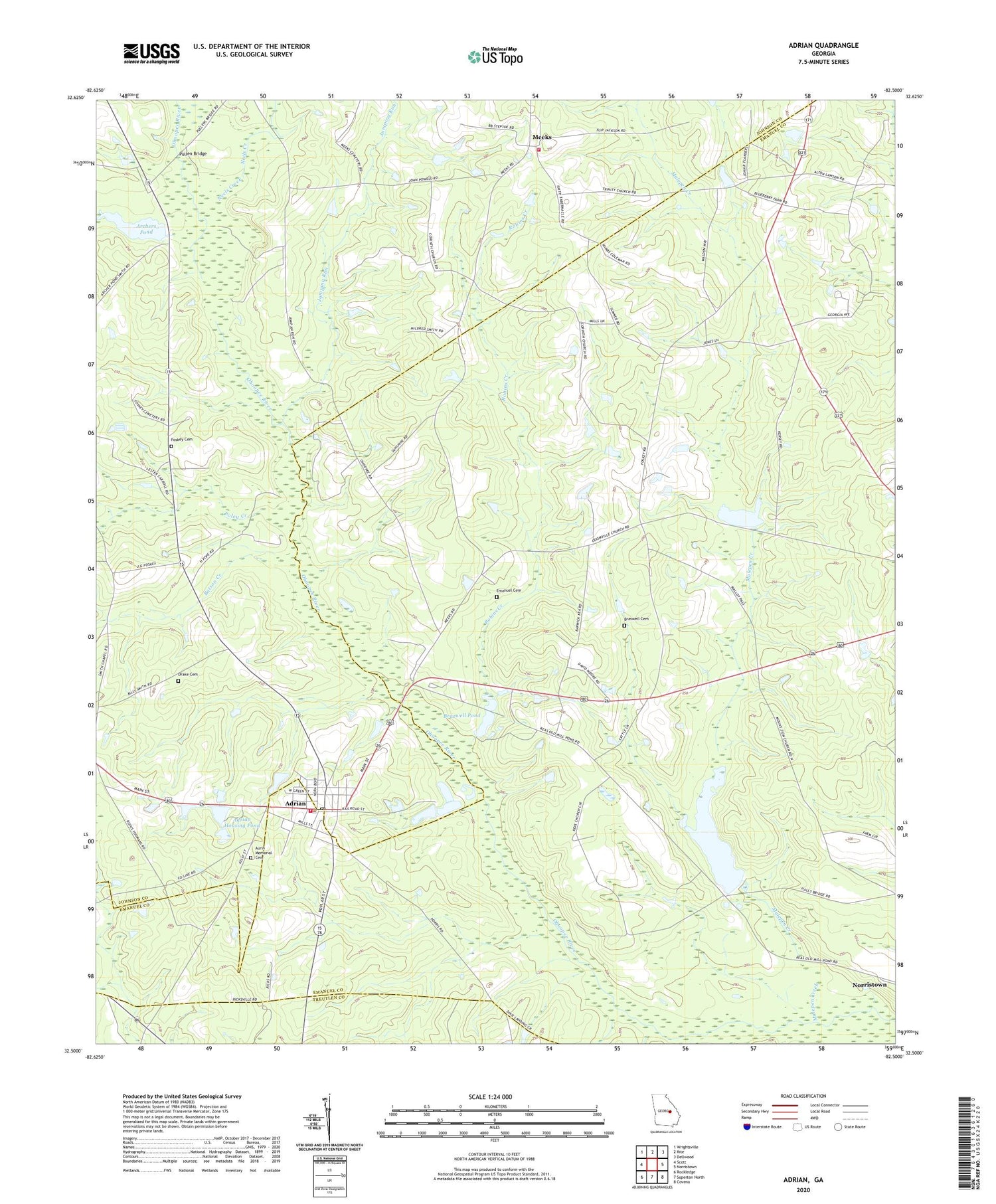
Adrian Georgia US Topo Map
Couldn't load pickup availability
2024 topographic map quadrangle Adrian in the state of Georgia. Scale: 1:24000. Based on the newly updated USGS 7.5' US Topo map series, this map is in the following counties: Emanuel, Johnson, Treutlen. The map contains contour data, water features, and other items you are used to seeing on USGS maps, but also has updated roads and other features. This is the next generation of topographic maps. Printed on high-quality waterproof paper with UV fade-resistant inks.
Quads adjacent to this one:
West: Scott
Northwest: Wrightsville
North: Kite
Northeast: Dellwood
East: Norristown
Southeast: Covena
South: Soperton North
Southwest: Rockledge
This map covers the same area as the classic USGS quad with code o32082e5.
Contains the following named places: Adrian, Adrian Division, Adrian Elementary School, Adrian Housing Pond, Adrian Housing Pond Dam, Adrian Police Department, Adrian Post Office, Adrian Rural Fire Department, Archers Pond, Archers Pond Dam, Aurin Memorial Cemetery, Batson Creek, Bethsaida Church, Braswell Cemetery, Brazwell Pond, Brazwell Pond Dam, City of Adrian, Corinth Church, Drake Cemetery, Emanuel Cemetery, Emanuel Church, Emanuel County Volunteer Fire Department Adrian Station, Faith Tabernacle Church, Foskey Cemetery, Foskey Turf Farm, General Land Corporation Lake, General Land Corporation Lake Dam, Jumping Run, Keas Church, Keas Old Millpond, Keas Old Millpond Dam, Meeks, Meeks Volunteer Fire Department, Mulepen Creek, Neels Creek, Poley Creek, Pullen Bridge, Robins Creek, Trinity Church, ZIP Code: 31002


